Where the Hottest Blocks in Your City Are — And How To Cool Them Down
A breakthrough new tool will help cities pinpoint their hottest streets during heat waves and find ways to cool them down — and hopefully, keep people walking, biking, and waiting for the bus even on the most sweltering days.
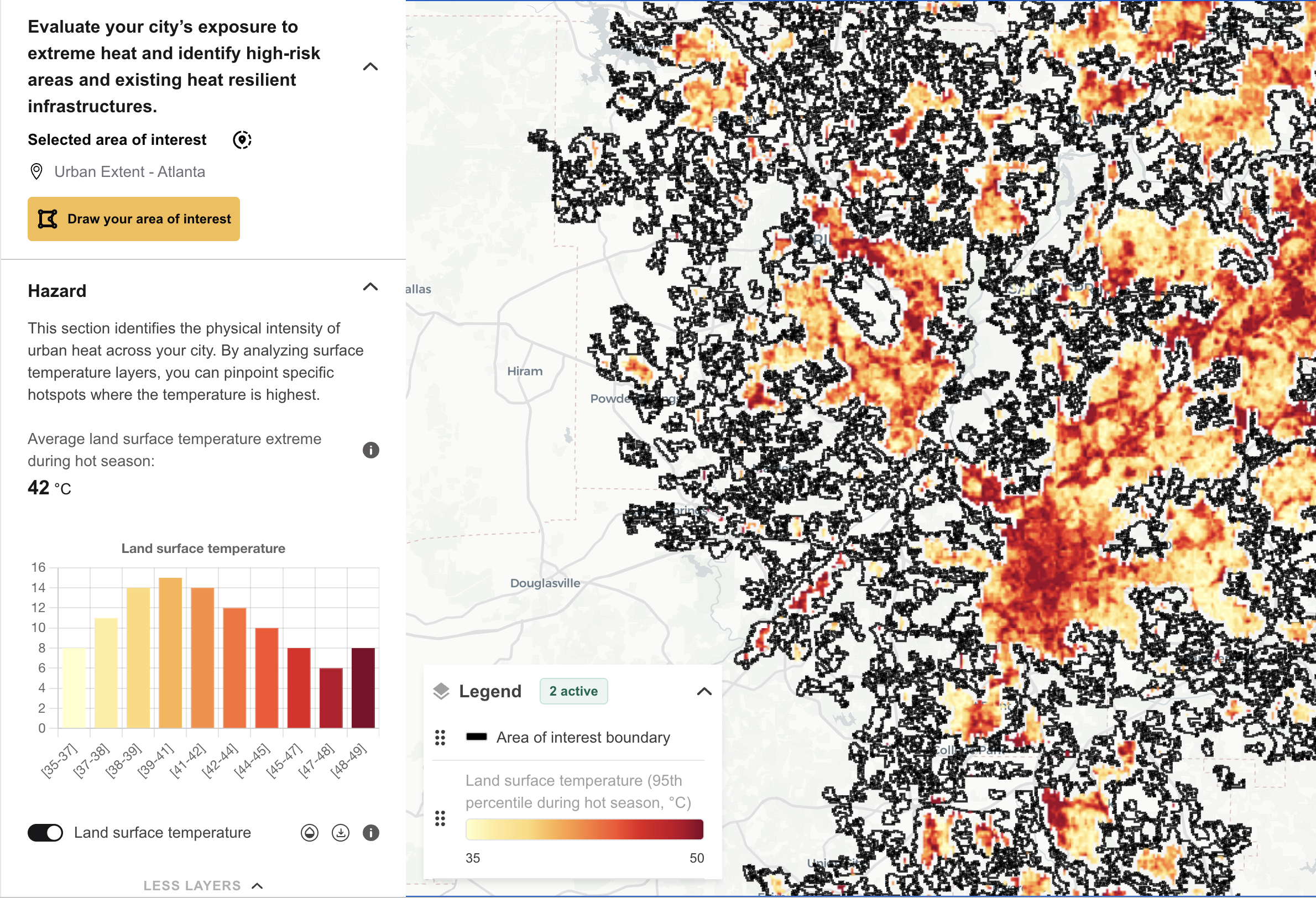
Last month, the World Resources Institute Center for Sustainable Cities launched an online resource known as the Cool Cities Lab aimed at helping communities not just to decrease temperatures citywide, but to increase “thermal comfort” in the hyper-specific places where extreme heat takes the greatest toll.
Currently piloted in 20 cities around the world but accepting more collaborators now, the tool draws on cutting-edge, open-source data that models how granular details of the built environment make people feel at the block level. That might include the presence or absence of shade near sidewalks, the percentage of sun-reflecting roofs near bike lanes, and even how much grass a neighborhood has compared to sweaty parking lots.
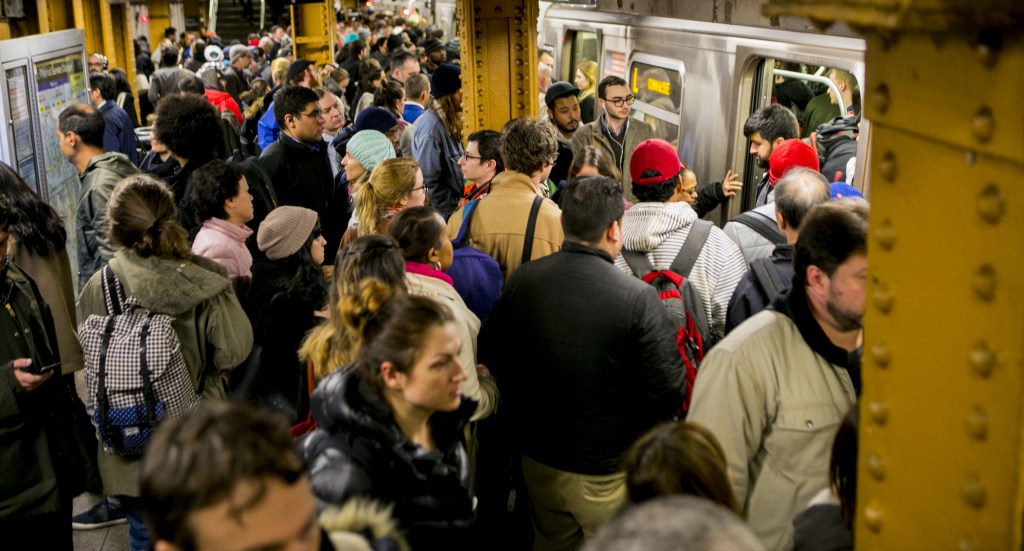
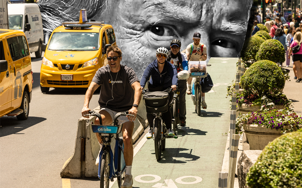
Those sorts of details are particularly important when it comes to transportation, where an unshaded bus stop on a 90-degree day can send a would-be sustainable commuter running for the comfort of an air-conditioned car.
And for those who don’t or can’t drive — and particularly for the unhoused — a long walk on a street flanked by heat-absorbing buildings can be downright dangerous. The Yale School of Public Health recently warned that deaths linked to heat exposure surged more than 50 percent over the past two decades in the U.S. alone.
“The effects of heat are already being felt by millions of people around the world in 2025 — [and I’m talking about] heat waves that are exacerbated by climate change, specifically,” said Ruth Engel, environmental health and extreme heat data scientist for the Center. “This is an issue mainly for people who don’t have other resources. People who can will drive more on hot days, or will just stay inside to try and protect themselves. But for many people, that’s not an option.”
As deadly as extreme heat is, Engel explains that cities have long struggled to assess where the hottest corners of their built environment are — never mind make changes to cool them down.
It’s easy enough for meteorologists to measure the ambient temperature of an entire city, but detailed, block-by-block heat maps like the ones that appear on the Lab have historically been hard to develop. Many relied on expensive processes like LIDAR readings from airplanes, which researchers use to collect three-dimensional data on things like building heights and islands of cooling greenery, which they’d use to calculate how hot specific areas might feel to human beings on the ground.
“Heat exposure is an incredibly local phenomenon,” she added. “Where you’re standing outside really affects how you feel; if you’re in the shade, you’re going to feel much cooler than if you’re in the sun. The surfaces you’re standing on and the buildings around you — these can all substantially affect your own personal heat exposure and your personal heat burden. … But it’s really hard to get the data right.”
In just the last two years, though, Engel says researchers have developed an open source model that uses physics to produce heat maps without costly flyovers, down to a “one meter resolution.” The WRI Center for Sustainable Cities then used that data to analyze how those high-risk areas line up with important locations like job centers and grocery stores, as well as large concentrations of elders, kids, and others who are more vulnerable to heat-related health conditions.
The tool can even identify which areas could benefit the most from cooling infrastructure investments, like adding reflective pavements near frequently-traveled sidewalks or cool roofs on buildings near popular bike lanes.
“Now you can say, ‘Pedestrians are going to be much safer from heat on this street if we plant, say, 20-percent more trees,'” added Engel. “We take heat from being a personal phenomenon that needs personal interventions, to being a public health phenomenon that entails public health solutions.”
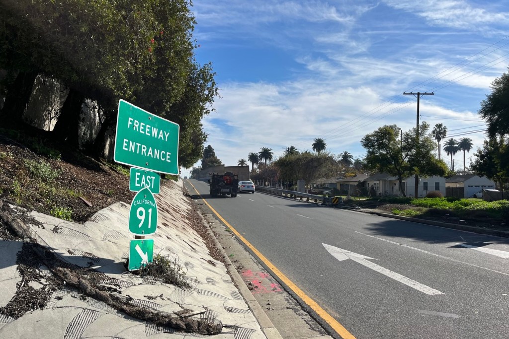
Over time, the Cool Cities Lab might may help build urgency for transportation leaders to address the root reasons why our communities are so hot — including the omnipresence of cars.
In addition to driving climate change-related heat waves, cars produce massive amounts of “waste heat” every time they’re turned on, drafting up 72 percent of their energy into their surrounding environments; they also absorb solar radiation and radiate it back out as heat even when they’re parked, particularly if they have a darker paint job.
In at least one early study, the WRI team is already marrying travel data with heat risk data, which could help identify the specific blocks where shifting modes could cool down cities the most. At the very least, it could help transportation leaders decide which pedestrian corridors most urgently need street trees, and which bus stops are just begging for a shelter and a bench.
Whatever heat-cutting strategies they choose, Engel hopes that city leaders will take a more granular look at where extreme weather is hitting residents the hardest, and take action to cool those streets down now.
“That’s critical in keeping people walking — and keeping people out of cars,” she said.

Read More:
Streetsblog has migrated to a new comment system. New commenters can register directly in the comments section of any article. Returning commenters: your previous comments and display name have been preserved, but you'll need to reclaim your account by clicking "Forgot your password?" on the sign-in form, entering your email, and following the verification link to set a new password — this is required because passwords could not be carried over during the migration. For questions, contact tips@streetsblog.org.