Now is the Time to Address Safety on State-Owned Roads

Over the last five years, more than half of fatal crashes in urban areas occurred on roads managed by states, leaving local leaders with little authority to make safety changes. We see this disturbing trend in federal crash data, and many of you are likely experiencing it in your communities too.
As more communities are encouraged and funded to prioritize safety, particularly on their most dangerous roads, they hit barriers because they lack direct control to make safety changes where they’re needed most. It’s time for this to change.
Now is the time to prioritize Vision Zero momentum and funding to consider and plan for safety on all roads, regardless of ownership.
Inclusion of state-owned roads is particularly relevant because these roads are more likely to be high-speed, high-volume arterials and to run through communities of color and low-income communities that suffer disproportionately from traffic crashes
From Anne Arundel County, Md. to Fremont, Calif., cities and counties are increasingly taking more proactive steps as part of Vision Zero to name, claim, count, coordinate, slow, transform, and fund safety on state-owned roads in their jurisdictions, regardless of ownership. Here’s how.
1. Name the problem
This starts with highlighting state-owned (and, in some cases, county-owned) roads that are part of your community’s High Injury Network (HIN) to draw awareness, funding, and action to what should be top safety priorities.
As part of building a data-driven approach to roadway safety efforts, we recommend analyzing and sharing information about which – and how many – of the high-injury roads in a jurisdiction are owned by other entities, such as the state or county. The next step is collaborating with these state and/or county partners to understand the safety issues and develop Safe System improvements.
A best practice of Vision Zero, and safety work generally, is developing a High Injury Network (HIN), which helps to focus limited resources at locations where high numbers of people are killed and severely injured in traffic crashes.
Your community’s HIN – and Vision Zero Plan – should track and publicly share the full picture of the most dangerous roads. Roads in the HIN should reflect just that – all high injury roads that are deadly regardless of the agency officially responsible for those roads, whether city, county or state. This will help you target safety work when developing (or updating) your Vision Zero Action Plan.
Increasingly, communities are doing just that. Below is an example from Minneapolis’ Vision Zero Plan showing that more than 50 percent of the roads on the city’s “High Injury Streets” are county- or state-controlled streets. Minneapolis lists these streets clearly in its Vision Zero Plan and then develops and shares strategies to work with partners to address problems on these deadly roads (see more below).

2. Count dangerous roads
Once you’ve identified road jurisdiction in the HIN, your community can now analyze where safety improvements are most needed, identify the responsible authority, map safety actions and track progress.
Tampa, Florida analyzes and shares this data in their The Vision Zero Action Plan. As shown below, the city’s six-lane roads make up the highest percentage of Tampa’s HIN (24 percent), account for 33 percent of all severe and fatal crashes and 51% of fatal crashes among people walking and biking.
Notably, 83 percent of this roadway type is under state jurisdiction – important information as the city works to make changes on these high-priority roads.

Tampa is working with the area’s Metropolitan Planning Organization (MPO), Plan Hillsborough, to overlay analysis about communities of concern on its HIN. They found that a significant portion of deadly and life-altering injury crashes – 52 percent – occurred within communities of concern, even though these communities make up only 27 percent of the area.
Layering a HIN analysis with both data highlighting communities of concern and road jurisdiction are important to address safety priorities in the areas needed most. (This HIN Guidance describes more about gathering, analyzing and emphasizing communities of concern.)
Jersey City, New Jersey generated two versions of its HIN: one includes all roadways in the city regardless of jurisdiction, and the other includes only those roads maintained by the city. More than 40 percent of all fatal and serious injury crashes each year occur on county and state-owned roads. Jersey City names the New Jersey Department of Transportation and county agencies as “essential partners” in achieving Vision Zero. Read more below about ways Jersey City is collaborating with these partners on specific actions.
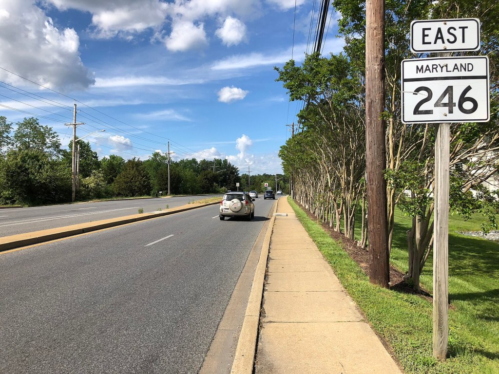
The challenge also exists at the county level. For instance, Anne Arundel County Maryland’s Analysis of Traffic Crashes finds that while they only make up 17 percent of roads in the county, 62 percent of crashes happen on state-maintained roads.
Communities should claim and count all roads to inform the process of addressing safety on problematic roads. Explicitly noting which parts of the HIN are not owned locally provides an opportunity to encourage the appropriate partners to fund and coordinate on safety improvements.
3. Claim them
Similar to the communities described above, Fremont, California includes “local” state highways as part of its HIN and Vision Zero Plan for safety improvements, recognizing that they are regularly used for walking, biking, and driving by the local community. Hans Larsen of Fremont wisely acknowledges that “While we don’t own them, we do have influence over making them safer and more multimodal.”
In one example of action to influence safety on problematic roadways, regardless of ownership, Fremont pursued and obtained relinquishment of a four-mile segment of former State Route 84 in order to have design control of the street and transform it to a “safe and complete” street.
4. Coordinate to fix them
Obtaining control of state-owned roads is not the only approach, of course. There are many strategies local communities can leverage to coordinate with county and/or state departments of transportation, and, increasingly, these actions are being clearly laid out and pursued in Vision Zero plans.
For instance, in addition to the example above, Fremont is working with the state on other state roads that run through the community. In its Next Level Action Plan, Fremont sets 10 primary actions to advance its Vision Zero work, including four that require significant state and regional coordination:
- Enable Speed Safety Cameras
- Allow Lower Speed Limits
- Make State Highways & Interchanges Safer
- Foster a Bay Area Culture of Safety & Equity
The Jersey City Vision Zero Action Plan similarly calls out specific actions and performance measures, as part of its commitment to work with State and County governments to improve safety on all roadways, not only those that are city-controlled, including the following:

By building the “all roads HIN” described above, Jersey City has started the process of naming, claiming, and counting the tragic fatalities on all roads, including those that are state-owned. And they set out actions to coordinate with responsible agencies on specific safety strategies and funding (as shown in the direct quote below, from page 50 of the Jersey City Action Plan):
“Last but by no means least, the City is absolutely committed to working with the State and County government to eliminate fatalities and serious injuries on major roadways that are controlled by agencies other than the City. The Mayor’s Office will lead this collaboration, which is essential if the City is to enjoy a year without any traffic fatalities or serious injuries by 2026.”
5. Control their speeds
Managing speeds is critical in addressing problems on state-owned roads, which are often designed as high-speed, high-volume throughputs. But, in many cases, cities are prohibited or discouraged from lowering speed limits, re-designing the roadways to deter high speeds, or using technology (such as speed safety cameras).
Remember the Tampa example above – where more than half of the fatalities occur on state-owned roads? It is significant that the posted speeds on these roads are 40-50 miles per hour, and we know that speed matters most for safety.
Tampa’s Vision Zero Action Plan specifically sets out a strategy to “Lower posted speeds and implement road designs to achieve target speeds… to support a balance of safe mobility and speeds that match the surrounding land use.” Tampa’s plan names specific actions within that strategy, including the following:
- Advocate for speed limit changes & countermeasures on FDOT [Florida Department of Transportation] and county-owned streets on the High Injury Network
- Establish a speed management peer exchange with Hillsborough County and FDOT
- Create an implementation plan for speed management on the HIN and other roads in need of lower posted speeds to align with land use context
Minneapolis’ Vision Zero Action Plan similarly names specific actions that require state and county-level coordination on speed and safety, including the following:
- Seek to partner with Hennepin County and MnDOT [Minnesota Department of Transportation] to lower speed limits on most roadways in Minneapolis to 25 mph and design roadways to support slower speeds
- Make and maintain cost-effective safety improvements systematically and rapidly on high injury streets
- Partner with Hennepin County and the MnDOT to proactively implement safety conversions (for example, 4-to-3 lane safety conversions) or other safety treatments to address high-injury 4-lane undivided streets they own
- Partner with MnDOT and Hennepin County to fund, proactively install, and maintain proven intersection safety treatments on High Injury Streets they own
While speed management efforts on state-owned roads may face regulatory barriers in many places, it is an important – and relatively low-cost – way to save lives. NACTO’s City Limits provides technical and policy guidance for localities on setting safe speed limits, recognizing state barriers (see pages 29-39).
6. Fund safety
Work on state-owned roads will take coordination and funding, but opportunities for both exist. The US DOT’s Safe Streets and Roads for All (SS4A) grant program funds planning, demonstrations and implementation projects for safety which can include work on state- and county-owned roads. (Note that the second SS4A grant cycle is open until July 10, 2023.)
Another important funding source is the federal Highway Safety Improvement Program (HSIP), which offers HUGE ($16.8 billion) opportunities for meaningful safety investments. Don’t let the name of the program fool you – this funding is not only for highways. It can be used on local, county, and/or state-owned roads too. The HSIP process is a chance to draw attention and funding to safety issues on state-owned roads in the HIN. Now is the time to encourage states to up the ante for roadway safety, especially for people walking and biking on state-owned roads.
—
For too long, we have not addressed a major safety problem: the reality that more than half the nation’s traffic fatalities occur on state-owned roads. We encourage communities to think and plan holistically in roadway safety efforts, including fully acting for safety on all roads, whether local-, county- or state-owned roads.
To learn more about cities taking ownership of safety on all roads, join us for this “Prioritization: Data, High-Injury Networks, Equity Emphasis in Vision Zero Action Planning” webinar on May 9th, 2023.
Jenn Fox is an environmental engineer, a facilitator, and a transportation advocate. She works with the Vision Zero Network to help communities reach their goals of Vision Zero — eliminating all traffic fatalities and severe injuries — while increasing safe, healthy, equitable mobility for all. At the U.S. Environmental Protection Agency, Jenn worked with regulators, communities, and industry to reduce air pollution. Jenn led the strategic planning and measurement and evaluation teams at the ClimateWorks Foundation. She has served as the Executive Director of the Bay Area Open Space Council, and a Board Member of the League of American Bicyclists and other non-profits. Jenn has a Bachelor of Science and a Masters of Science degree in Environmental Engineering from Stanford University and you can reach her at jenn at visionzeronetwork dot org.
A version of this article originally appeared on Vision Zero Network and is republished with permission.

Read More:
Streetsblog has migrated to a new comment system. New commenters can register directly in the comments section of any article. Returning commenters: your previous comments and display name have been preserved, but you'll need to reclaim your account by clicking "Forgot your password?" on the sign-in form, entering your email, and following the verification link to set a new password — this is required because passwords could not be carried over during the migration. For questions, contact tips@streetsblog.org.


