Photographic Proof That America Can Make Streets for People Instead of Cars
Need some inspiration to make your city’s streets safer and more inviting?
Here’s a good place to start: URB-I, a collective of urban designers based in São Paulo, has been collecting before and after images of street transformations using Google Street View’s time lapse feature. The stockpile has grown to include 1,000 places around the world, including 107 in the United States. Below we’ve curated a selection of street redesign porn from URB-I’s library.
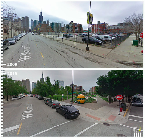
Like this one from Chicago — a parking crater by W Monroe Street transformed into a park:
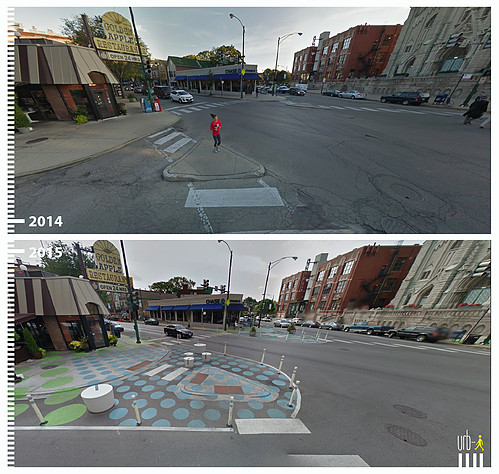
Also from Chicago — painted sidewalk extensions made the “Lincoln Hub,” a six-pointed intersection, safer for pedestrians:
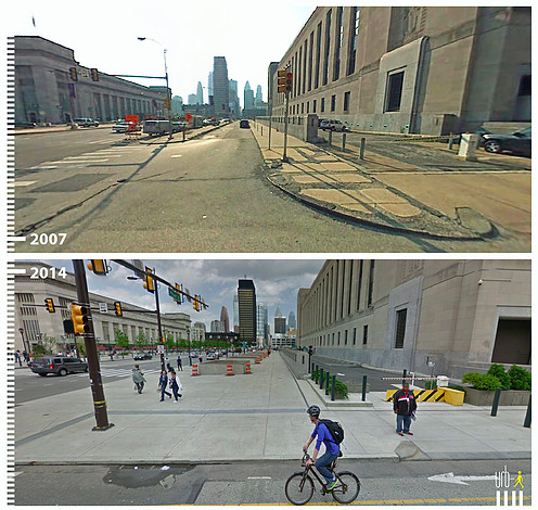
A major expansion of pedestrian space on Market Street in Philly:
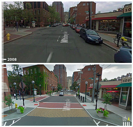
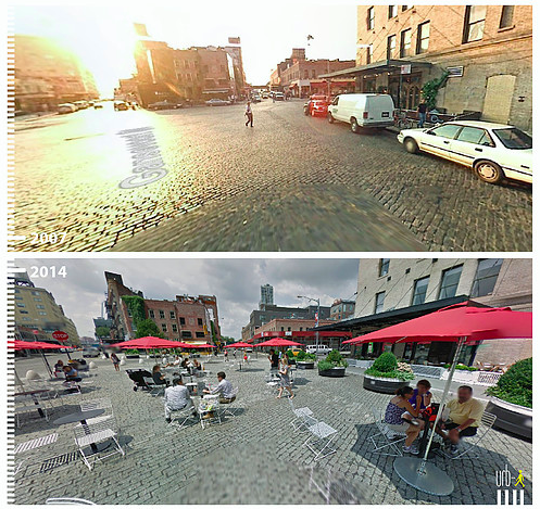
What a difference some tables, chairs, planters, and bollards make by Gansevoort Street in Manhattan:
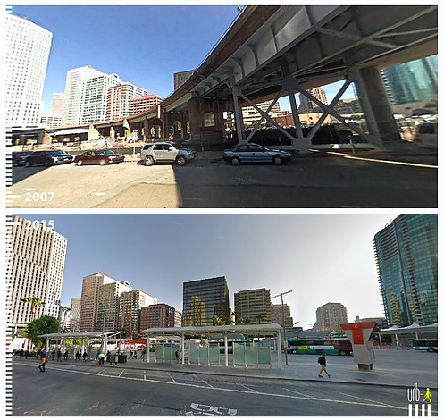
Here’s the area around Beale Street in San Francisco with and without an elevated road:
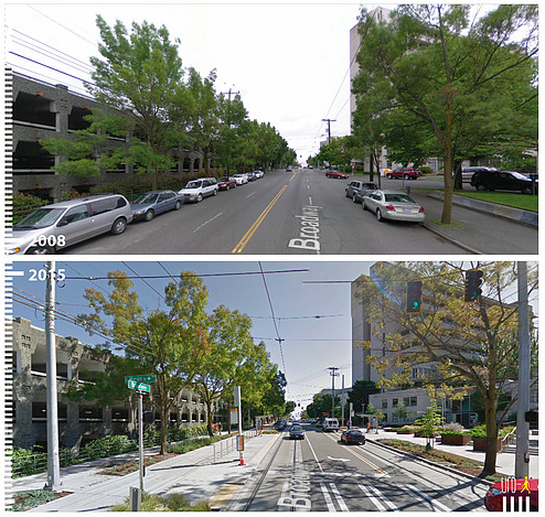
More space for walking, less for cars on Broadway in Seattle:
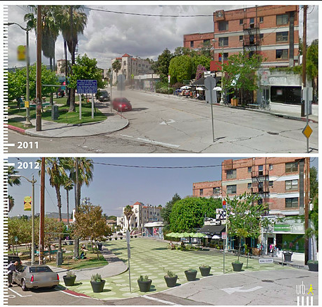
A new public plaza by Griffith Park Boulevard in Los Angeles:
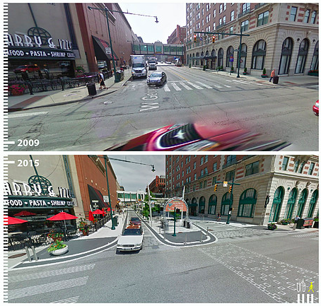
It’s not just coastal cities on URB-I’s map — here’s a pedestrian-friendly overhaul of Indianapolis’s West Georgia Street:
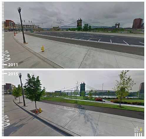
Another parking crater transformation — the Ohio River Scenic Byway on the Cincinnati waterfront.
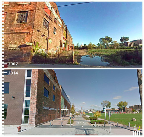
And here’s the Detroit Riverwalk by Atwater Street:
This collection barely scratches the surface of what you can find in URB-I‘s catalogue, which includes hundreds of international examples.

Read More:
Streetsblog has migrated to a new comment system. New commenters can register directly in the comments section of any article. Returning commenters: your previous comments and display name have been preserved, but you'll need to reclaim your account by clicking "Forgot your password?" on the sign-in form, entering your email, and following the verification link to set a new password — this is required because passwords could not be carried over during the migration. For questions, contact tips@streetsblog.org.