Talking Headways Podcast: How Money for Highways Could Have Built 36 Paris Metros
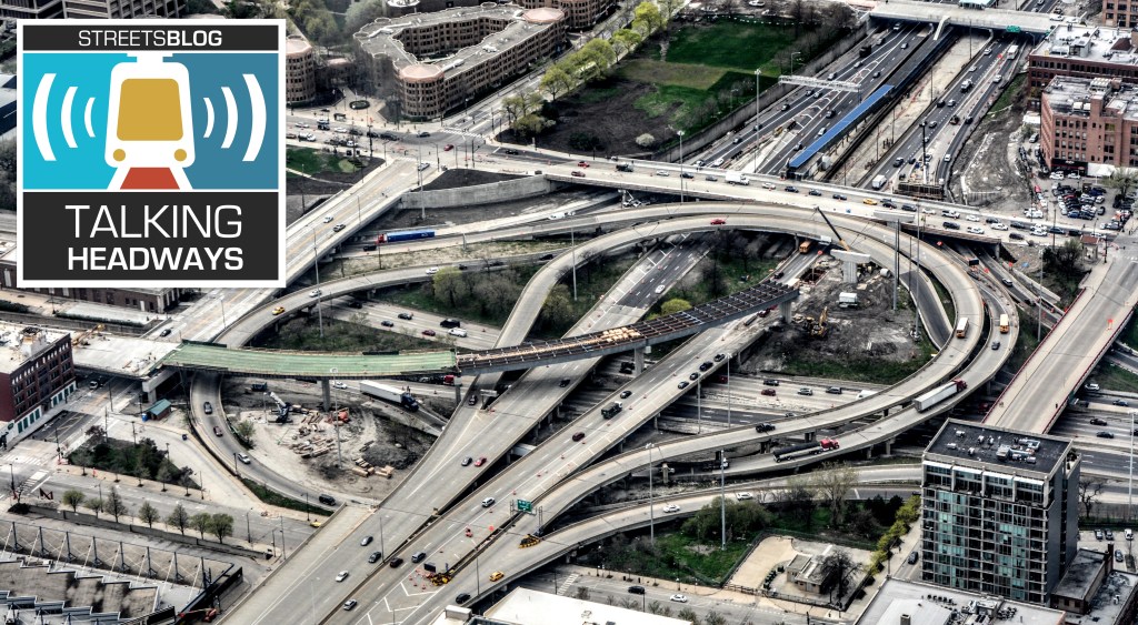
This week, we’re chatting with Dallas developer, DART board member, and urban designer Patrick Kennedy about his recent publication, “An Atlas of Intercity Highway Impacts.” We discuss the tax base that highways removed from cities, what we could have done for cities with federal transportation funding, and the long term value we lost.
You know the drill: we provide three ways of enjoying the podcast: The full, AI-generated transcript; an edited excerpt at the end of this post; and the embedded audio player below.
Jeff Wood: What was the process like for putting together all these maps, all these data points, and making sure that you were on the right track in terms of the story that you were trying to tell?
Patrick Kennedy: It was an iterative process because I didn’t know what I was going to do with it. I had a plan that I wanted to write a book on the history of the Interstate Highway System and how we got to this place, and a lot of it centered on Eisenhower and the person he appointed, General David Bragdon, to keep the interstate system on time and under budget.
Megan Kimble was working on her book, City Limits, and I talked to her about that. She ended up going to the Eisenhower Library and digging through the notes for that book. I was talking to a friend, Scott Polikov, about this, too. He was like, “Nobody cares about history. Focus on the actual data. What was the impact? And focus on the future.”
And that’s when I decided, you know what? I’m gonna focus on the data. I had been talking to some book publishers, and they were more interested in black and white text than images. So I was like, that’s not what this can be, right?
This has to be maps, and this has to be data. I’m just going to go my own way, just do it, and just do it for free and post it. I just focused on the real world impacts to every city. I started on every city in the Yellow Book, but I realized that was not enough. There were something like 90 cities. I expanded it to 142 because no cities in North Carolina were in the Yellow Book.
Phoenix might have been in the Yellow Book, but San Diego wasn’t. I just wanted to keep adding cities. And I just was assembling data and data and data. I was interested in what happened to population density since 1960 once we started building in earnest, what happened to population since 2000 to present.
I found an inflection point in demographics where millennials were entering the workforce and looking to come back to urban environments and walkable environments. I started keeping this huge database of these things. During the pandemic, I came across a report by the Philadelphia Federal Reserve — their study suggested that within three-mile radius of downtowns, highways become a disamenity and devalue property up to about a half mile away.
That was the key point where I started building these databases and said, “OK, real estate values in most cities is generally not as valuable in a three-mile radius.” So I built a one-mile radius and a three-mile radius, and I used that to collect population data points and my real estate data points regarding how much recent development is worth on the assessed tax rolls in all these cities.
I went through, found new development, looked it up on the tax rolls, and aggregated the total amount of highway right of way in each of these cities, in those geographies, the one-mile to three-mile radius, and said, “OK, if I developed these highway right of ways at 50 to 55 percent efficiency,” you’d have tax-exempt surface roads and schools and whatever else.
55 percent of private development, what would that be worth to the city? And I said, “OK, every city then has this value multiplied by the amount of land that highways take up in those one-mile and three-mile geographies.” And that’s what I used to determine the economic development potential of removals, and how much theoretical tax base was removed from each of these cities because of the development potential those cities lost by building highways.
Another book that was kind of the impetus to this was The Elephant in the Bedroom, which was a book about California highway building from the early 1990s. It was written by a couple of engineers. And when I was researching, thinking I was doing the book on the history of highways, came across a line where they said the 210 freeway through Pasadena wiped off 10 percent of the property tax rolls right off the map. I thought, “Oh, okay, there’s a number for every city,” and I wanted to know what it was.
Jeff Wood: I guess I have to disagree with Scott a little bit. I think the history is really important. I think it’s good to know.
Patrick Kennedy: No, me too. But the story was being told, you know? I was like, yeah … I’m just retelling the same story.
Jeff Wood: Yeah. We talked with Megan Kimble about Bragdon and what she found in the archives from Eisenhower’s library. But I think that’s really important to think about all the places where we could have gone in a different direction. I’ve been thinking about this a lot lately, especially in the 1970s with the oil crisis — kind of what we’re in now with the Iran oil situation.
But there’s all these off-ramps that we could have taken over time, and we continue to go along the route that we’ve chosen. I feel like this is a negative way we’ve taken to building infrastructure in the country. But those inflection points are really fascinating.
I’m wondering how the Bragdon information spoke to you. You talked about the Philadelphia Federal Reserve. There’s a lot of little things that, in the past, kind of shaped how you’re thinking, but also kind of shape the politics of the way that things are going now.
Patrick Kennedy: To me, Bragdon was the most influential person. I’m drawn to those sort of Cassandras that fight the righteous battle, but then ultimately lose and are forgotten to history. But I also kind of wanted to tell that story because he was right and he fought the Bureau of Public Roads and all of the Robert Moses acolytes that worked there.
If people are this wonky and interested, his 1960 interim report is kind of fascinating because he argued that the interstate highway system was for interstate commerce. It was not to serve local traffic. If we were to build highways to serve the traffic projections in 1980, some of the highways through the bigger cities would have to be 40 lanes or more.
He said that it’s far better to use our dollars for actual high-capacity transit. And part of his job was to keep the entire interstate system under budget. It ended up going about five or six times over the original budget. I calculated that in today’s dollars: the interstate system ended up costing something like $750 billion.
He said the inner city highways, which were one-tenth of the lane mileage of the system, cost ten times per mile to build. And so it was the most expensive part. Roughly half the cost of the entire interstate system was just the property acquisition and construction of the inner city highways.
Montreal was building the first legs of its subway in the 1960s. We could have built the equivalent of 36 Paris Metros for that $375 billion at the cost that Montreal was building its subway. And so part of this is just creating like an Earth 2 in my mind. What if we had gotten it right?
We could have a Paris Metro system in Cincinnati and in Kansas City serving local traffic and not devaluing the downtowns and basically wrecking a lot of the local economies around the country.

Read More:
Streetsblog has migrated to a new comment system. New commenters can register directly in the comments section of any article. Returning commenters: your previous comments and display name have been preserved, but you'll need to reclaim your account by clicking "Forgot your password?" on the sign-in form, entering your email, and following the verification link to set a new password — this is required because passwords could not be carried over during the migration. For questions, contact tips@streetsblog.org.