Why Pedestrian-Unfriendly Cities Have Fewer Car Crashes Per Mile
Notoriously dangerous and car-dominated Phoenix actually experiences fewer car crashes and near-misses per mile than Vision Zero leaders like San Francisco and New York, according to data collected by artificial intelligence-equipped cars — but the real takeaway is that city leaders could use that next-gen safety data to make human-scaled streets safer for everyone, not just drivers.
In a new study from AI computer vision company Nexar, researchers analyzed more than 278 million miles worth of anonymized footage from tens of thousands of its ultra-cheap smart dashboard cameras, which the company sells to both private motorists and professional drivers, particularly in the app-taxi and autonomous vehicle industries.
Across the 11 large U.S. cities in their sample, the researchers recorded 4,584 collisions and 42,724 near-collisions, as well as the complex road conditions at the moment those crashes occurred — a dataset that included the kind of mild fender-benders not always reported to law enforcement or insurance companies, as well as the daily brushes with death and injury that, by their nature, don’t show up on crash reports at all.
Earlier research from smart (but stationary) traffic cameras has shown that serious crashes are more likely to happen at intersections with a lot of near-misses, and that cities can save lives by redesigning those dangerous road segments. Nexar’s data, though, spans anywhere a driver with a $95-$200 dash cam might go — a sample size that the company says already offers a meaningful snapshot of many cities’ daily road conditions.
Nexar execs also pointed out that the new study could have huge implications for the autonomous vehicle industry, which has struggled to draw a complete picture of how safe robocars are relative to human drivers. The company says its tech can not only turn any car into a real-time crash recorder, but “can be used to produce digital reconstructions of accidents [sic] and train self-driving cars to handle the most challenging driving situations.”
“Having a true understanding of how and where collisions and near-collisions happen is vitally important to prevent them in the future, and to understand the safety profile in cities in which AV use is already happening or planned,” said Eran Shir, co-founder and CEO of Nexar. “However, there was no accurate source of this data, and that’s another reason why crowd-sourced data from dash cams is important for the future of safe driving.”
Indeed, Nexar’s rankings yielded some fascinating results that contrast with dominant narratives about traffic safety in the largest U.S. cities — though some entries on the list deserve a serious asterisk. Let’s look at collisions first.
Most car crashes per 100,000 miles driven
- Philadelphia
- San Francisco
- New York
- Los Angeles
- Houston
- Chicago
- San Diego
- Las Vegas
- Dallas
- Seattle
- Phoenix
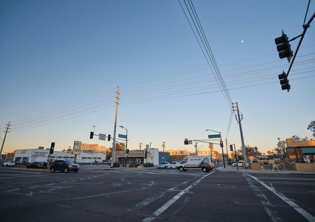
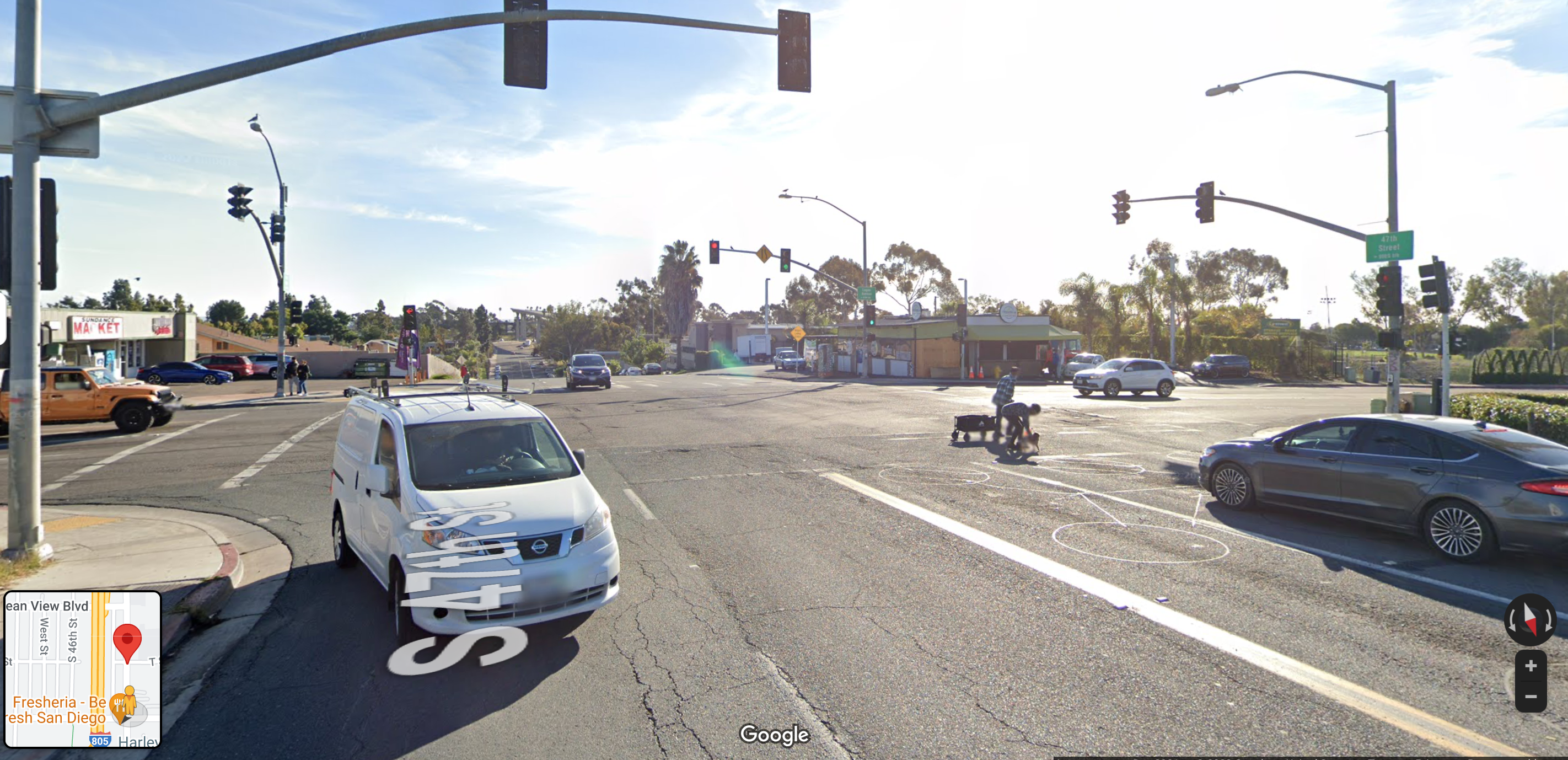
Notably, sprawling Phoenix reported the fewest crashes per mile, which probably has more to do with the proliferation of highway-style roads in the Southwestern metropolis than how “safe” it actually is for road users on the whole. The Valley of the Sun is nationally known for having one of the largest and fastest-growing networks of freeways in America, a type of road design that at least looks safer on paper, because motorists can often travel many miles without ever encountering any cross traffic – even though crashes are highly fatal when they do happen, because motorists are traveling at deadly speeds when they collide.
That paradox is even more apparent when it comes to crashes involving road users outside an automobile. In addition to topping Nexar’s list of the “safest” cities for all road users, Phoenix was also recently ranked as the 22nd most dangerous metro in America for pedestrians, making it the deadliest community for walkers in the entire study.
Populous and transit-rich Philadelphia, meanwhile, had the most per-mile collisions — more than four times as many as the Arizona capital — despite being among the safest metros for pedestrians on Nexar’s list. Per capita, though, Phoenix experienced 12.4 car crash deaths in 2020 for every 100,000 residents, while Philly experienced just 9.8 — or about 26 percent less.
Nexar’s near-miss list deserves some additional analysis, too.
Most near-collisions per 100,000 miles driven
- San Francisco
- New York
- Philadelphia
- Los Angeles
- Chicago
- Houston
- Dallas
- Las Vegas
- Phoenix
- Seattle
- San Diego
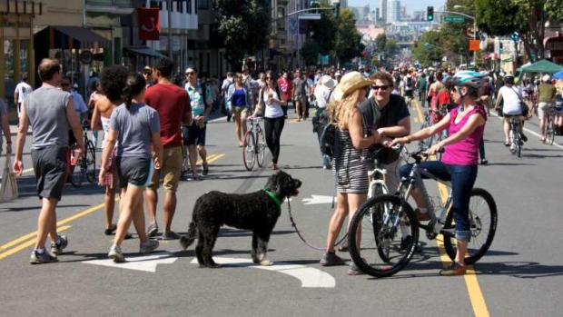
Once again, car-dependent San Diego ranked as the “safest” for local road users, while the literal home of the Vision Zero Network, San Francisco, logged more than 10 times as many near-misses as its southern California counterpart.
It’s worth noting, though, that San Francisco is routinely ranked as the single best city to live without a car in the United States, and its dense, vibrant street life likely gives motorists ample opportunity to nearly — but not always fatally — come into contact with other road users, at least when compared to the wide-open stroads running through much of San Diego. And, once again, Nexar’s data did not control for population; the per-capita crash fatality rate in SF was just 3.4 in 2020, while it was 12.7 in SD — nearly four times higher.
That’s absolutely not to say that Nexar’s data is without value — especially if city leaders ditched the rankings and took a hard look at their municipality’s data itself.
As AI-equipped vehicles proliferate across U.S. communities, the company says cameras like theirs can create “a dynamic digital twin of America’s roads that includes changing road elements like construction zones, speed limits, potholes, traffic conditions and more,” giving municipalities the ability to quickly flag areas that are experiencing high rates of even minor crashes and near-collisions, and fix the dangerous road conditions that are causing them before a more serious incident occurs.
The tech can also specifically tease out which segments of the roadway are most dangerous specifically for vulnerable road users, and even flag common yet hard-to-catch hazards, like when street lights are burnt out or potholes are forcing motorists to make dangerous sudden swerves, giving transportation engineers a powerful and highly granular tool to tackle complex safety problems.
Unfortunately, many transportation engineers do relatively little with the data they already have about their communities’ dangerous roads – including the simple but sobering stat that 70 percent of U.S. walking deaths happen on high-volume arterials that represent just 15 percent of the road network. And until built environment professionals expand their notion of “safety” to include the vulnerable road users who are dying at increasing rates in places like Phoenix, even the best data in the world won’t help them save those lives.

Read More:
Streetsblog has migrated to a new comment system. New commenters can register directly in the comments section of any article. Returning commenters: your previous comments and display name have been preserved, but you'll need to reclaim your account by clicking "Forgot your password?" on the sign-in form, entering your email, and following the verification link to set a new password — this is required because passwords could not be carried over during the migration. For questions, contact tips@streetsblog.org.