Best Bike Cities? Forget the Census, Let’s Start Asking Mobile Apps

Michael Andersen blogs for The Green Lane Project, a PeopleForBikes program that helps U.S. cities build better bike lanes to create low-stress streets.
The most popular bicycle transportation measurement system in the country is hopelessly skewed toward a niche activity.
We refer, of course, to the U.S. Census.
The niche activity: going to work.
Most Americans have jobs, of course. But going to and from work, which is the only bicycle activity the Census measures across the United States, accounts for less than 20 percent of our trips. Huge swaths of the population, including many of those with the most to gain from biking (the old, the young, the broke), don’t have jobs at all.
What’s more, our commutes tend to be the longest trips we take on a regular basis, which puts bicycling out of reach for millions of Americans. Census statistics provide a useful clue about which cities are doing biking right, but a flawed one — especially for the less intensely motivated bike users that U.S. cities have been redesigning their streets to serve.
A 10-month-old computer chip for the Apple iPhone may already be creating a better alternative.
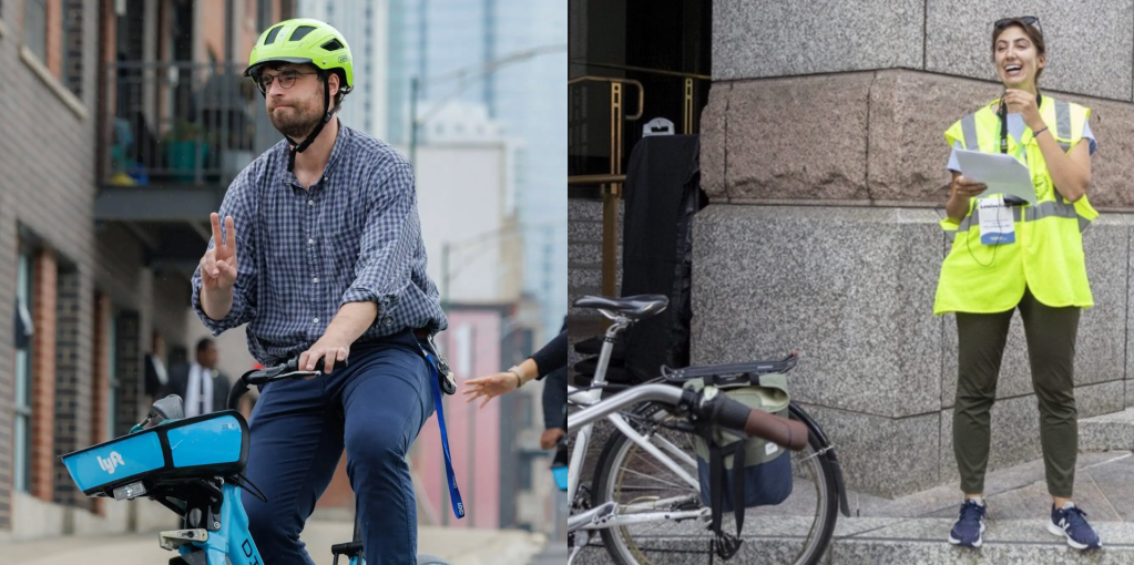
The M7, a chip introduced last year that lets users gather data about their movements even while their smartphones are asleep, is the hardware behind Human, an activity-tracking mobile app that made a splash this month by using its users’ movement speed to create maps of walking, biking, running and motor vehicle transport in 30 cities around the world.
A way to track mode share and route choice the moment a project opens

Human’s maps are certainly pretty. But for traffic engineers like the City of Austin’s Nathan Wilkes, they’re the tip of the iceberg.
If the users of apps like Human can provide just a few demographic indicators, Wilkes says, planners would be able to compensate for underrepresented groups and calculate not only how a city’s transportation choices are shifting in real time, but which streets people are choosing.
“It doesn’t seem like a far stretch to be able to have monthly updates to the heat maps to the point where we could see, ‘Oh, we just installed the cycle track on this facility: This is month one, month two, month three, month four,'” said Wilkes, the city’s lead bikeway planner and designer.
Unlike Strava, a similar service popular among very athletic bike users, Wilkes says Human’s data “seems way more balanced.” And just as importantly, it also tracks people while they’re driving, walking, or riding a bus.
“It’s stuff that normal people do all the time,” he said. “If you’re shopping in the grocery store and you walk around for 20 minutes, that’s 20 minutes of walking.”
Demographic corrections will be needed

Wilkes hopes that in the next few years, academics will be able to work out mathematical models that oversample groups — older people, for example, or poorer ones — who might be less likely to use Human and other voluntary, “always-on” self-tracking apps. Their models could be tested by constantly comparing them to traditional on-the-ground bike counts.
“I have a colleague here who is just starting his Ph.D. in transportation planning, and he’s going to do his thesis work on looking at this type of data and adjusting it for skew,” Wilkes said.
Once that’s in place, Wilkes said, cities might start urging their citizens to download a free app that gives planners data about their movements.
“You give some battery life on your phone, and we get much better data as how we can improve our cities,” Wilkes said.
You can follow The Green Lane Project on Twitter or Facebook or sign up for its weekly news digest about protected bike lanes.

Streetsblog has migrated to a new comment system. New commenters can register directly in the comments section of any article. Returning commenters: your previous comments and display name have been preserved, but you'll need to reclaim your account by clicking "Forgot your password?" on the sign-in form, entering your email, and following the verification link to set a new password — this is required because passwords could not be carried over during the migration. For questions, contact tips@streetsblog.org.