Almost half of all car trips in U.S. cities are three miles long or less. That little nugget of information has long been understood, hinted at by U.S. Census surveys, but now a transportation data company has confirmed and expanded on it. INRIX Research constantly collects anonymous travel data from a wide variety of sources. Its clients include cities, vehicle manufacturers, fleet managers, and data providers.
Its research arm has taken a small slice of that data to show a relatively simple way cities could dramatically improve congestion.
Note: GJEL Accident Attorneys regularly sponsors coverage on Streetsblog San Francisco and Streetsblog California. Unless noted in the story, GJEL Accident Attorneys is not consulted for the content or editorial direction of the sponsored content.
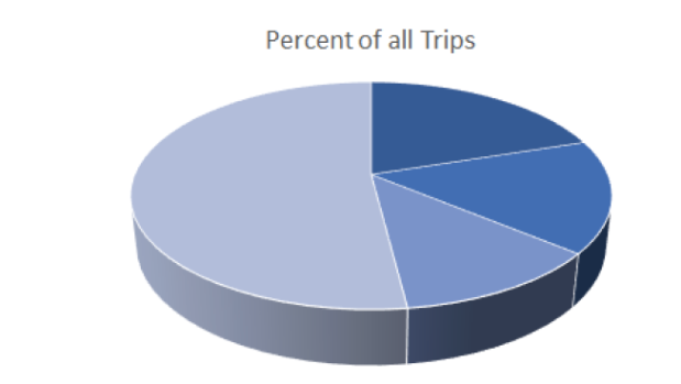
Of more than 50 million trips in a single month in the 25 most congested U.S. cities, INRIX Research found that 48 percent of all car trips are less than three miles in length, with about twenty percent being shorter than one mile.
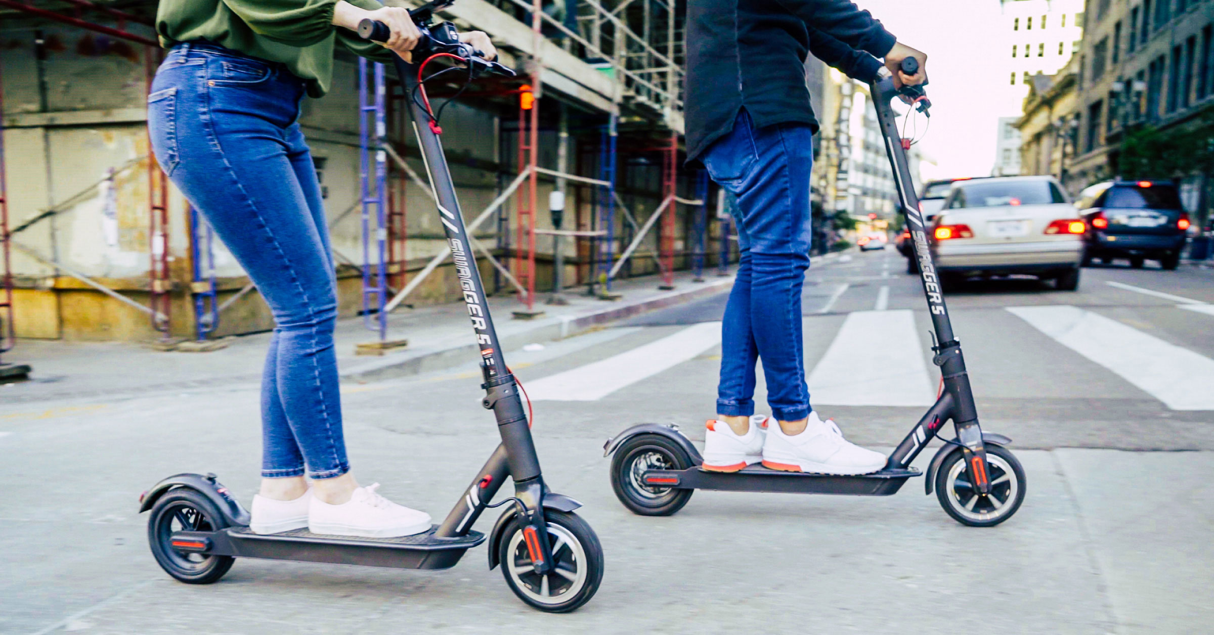
Walking and e-scooters can be good options for trips between a half and one mile long, while bikes are frequently used for trips between one and three miles long. The problem in most cities is that infrastructure is lacking because investments have favored car travel, making bike and scooter networks disconnected and potentially dangerous for people who would opt for these modes.
But if some of those short trips could be switched from cars to bikes or scooters, cities would benefit greatly. And not all drivers, or even very many, would need to switch. Past studies, including of the London congestion zone when it was first implemented, have shown that a small mode shift of four to five percent could cut congestion by as much as 25 percent.
“Micromobility and scooter share really need to be treated as a serious form of transportation,” said Trevor Reed, a transportation analyst for INRIX and the author of the report. “They’re not just a cool fad for urban hipsters. And infrastructure improvements would not just benefit people who use scooters, they can help drivers and bus riders. They can be a real solution to congestion.”
“And it’s cheap,” he added.
The INRIX report took a detailed neighborhood-level look at the west side of Los Angeles. The map below plots all the car trips there that are under three miles long. The darker the blue, the shorter the trips.
You can see a dark vein along the future Purple Line route.
“If you’re seeing a ton of these short car trips, it’s probably a function of inadequate infrastructure,” said Reed.
Better walking facilities, safer streets and bike lanes, and access to e-scooters and bike share could offer options for people who would rather not drive for those trips.
That visible dark blue vein means that not only will the Purple line be providing much-needed service once it’s complete, but that L.A. would benefit from incorporating plans for more micromobility options like bike-share, protected bike lanes, and scooters in those areas.
“The point of this initial research is to show the power of data to help cities make decisions about how to improve infrastructure,” said Mark Burfeind of INRIX. “There are so many other ways cities can use data: to improve bus service, to look at how better to knit together those areas that people want to get to. This report just scratches the surface.”
