How To Fix A Fork (In The Road)
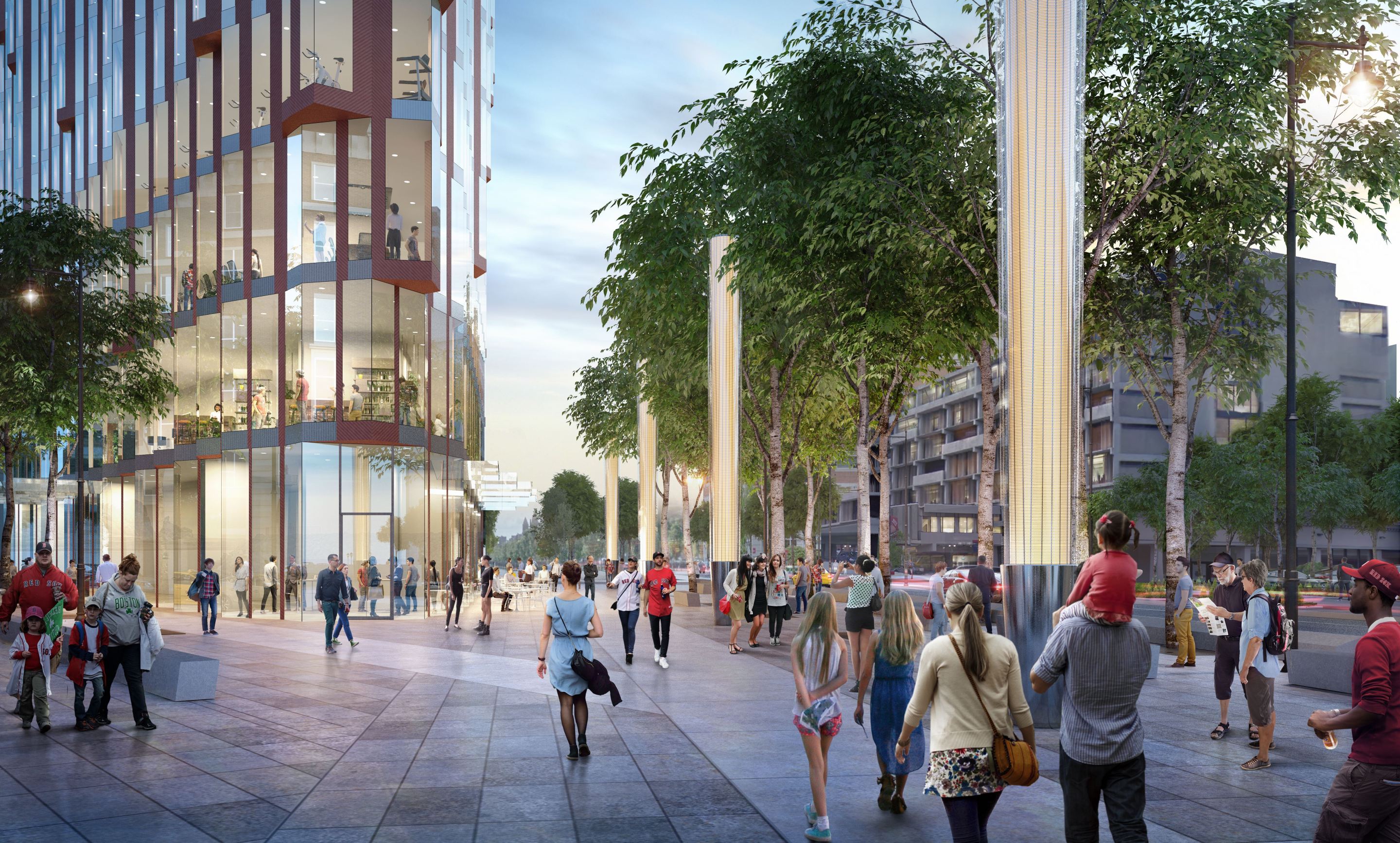
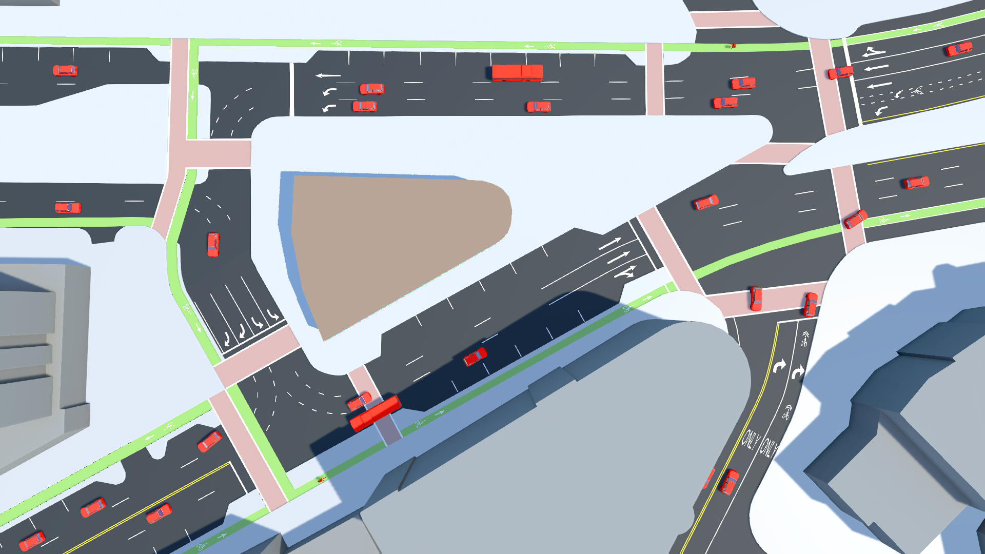
The proposal for Kenmore Square.
(Image: Studio Gang Architects, Reed Hilderbrand, and Speck & Associates.)
The practice of street design evolves slowly, but it does evolve.
Every decade or so, a new technology like the bulb-out or the cycle track arrives on the scene to help us make our streets better. This quick article — for serious street geeks only — addresses a new type of street modification that holds great promise for improving the safety and walkability of a certain type of intersection: the fork. If your community has no forks — or you are not a serious street geek — please feel free to stop reading here. But that does mean that you will miss the awesome video.
Forks often need fixing because they create complicated intersections with dangerous sight lines and signals with too many phases, impeding the flow of both vehicles and pedestrians. Forks are fixable because they hold redundant roadway, an excess of asphalt that serves no purpose except to encourage higher speeds and lengthen crossing times.
The first person in the current era to have acted upon this crisis/opportunity may have been Janette Sadik-Khan, who oversaw the reconfiguration of a number of forks along Broadway in Manhattan, most notably at Times Square. Her team’s interventions simplified those intersections in a way that improved both public safety and traffic flow while converting driving space into much-needed public space.
What makes forks fixable are the cross-streets: by rerouting traffic to a cross-street at the base of the fork’s triangle, one leg of the fork can usually be closed and turned into public space. Fork repair is easy in Manhattan due to the prevalence of cross-streets — 20 per mile — in the island’s tight grid. The simplest type of fork fix looks like this:
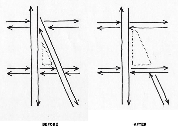
Notice how one block of one of the merging roadways is eliminated, replacing an unwieldy five-point intersection with something standard, and allowing the expansion of the small open space at the fork. The simplification of the traffic pattern explains why, in Times Square, the reduction of roadway led to improved safety and fewer delays.
A recent fork repair in my area, Cambridge’s Lafayette Square, shows a slight twist on the model pictured above. One leg of the fork has been snipped and replaced by a public plaza, as usual. But, because the north-south cross-street staggers, a dogleg curve was needed to resolve the traffic flow. It looks awkward. . . and works just fine.
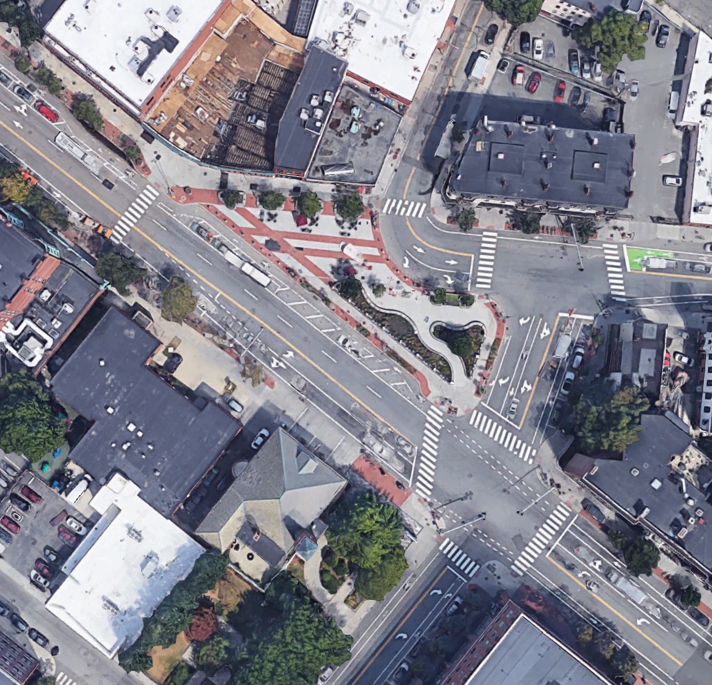
These successes were on my mind when a new client asked me to meet him one morning in Boston’s very forky Kenmore Square, to review a tower he was building at a prominent flatiron corner — in the middle of the Square’s western fork.
“Got any ideas for the public space?” he asked. Realizing that the best outcome would require moving his tower—already submitted for approvals — I answered cautiously: “Probably nothing you are going to like.”
The challenge in Kenmore Square is that there are no cross-streets for rerouting traffic as in the above examples. The only opportunity lay in my client’s own site, which, if vacated, could become a cross-street instead. The good news was that the resulting street layout would create a new building site much larger than the old one.
The four-step diagrams below illustrate what seemed to be the best solution. Rather than fully closing one leg of the fork, it seemed wiser to close half of each, to limit the width of any one leg. In image two, a new cross-street through my client’s site allows one eastbound leg to be closed. In image three, it allows one westbound leg to be closed. The result is a new island big enough to hold both the displaced building and a public plaza.
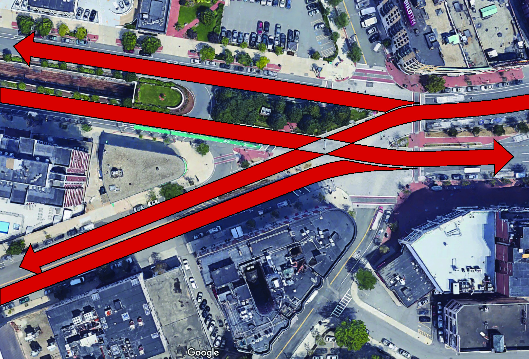
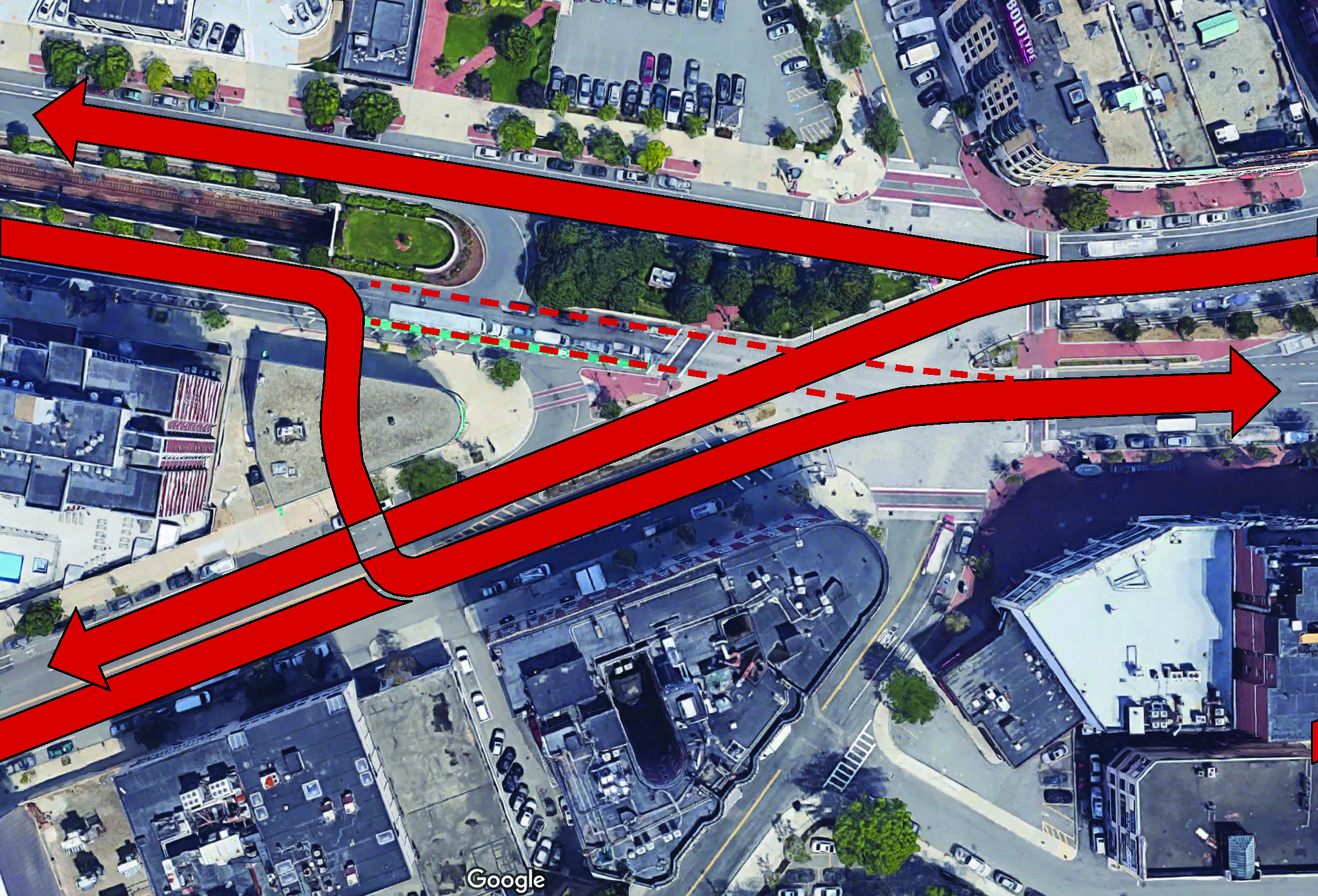
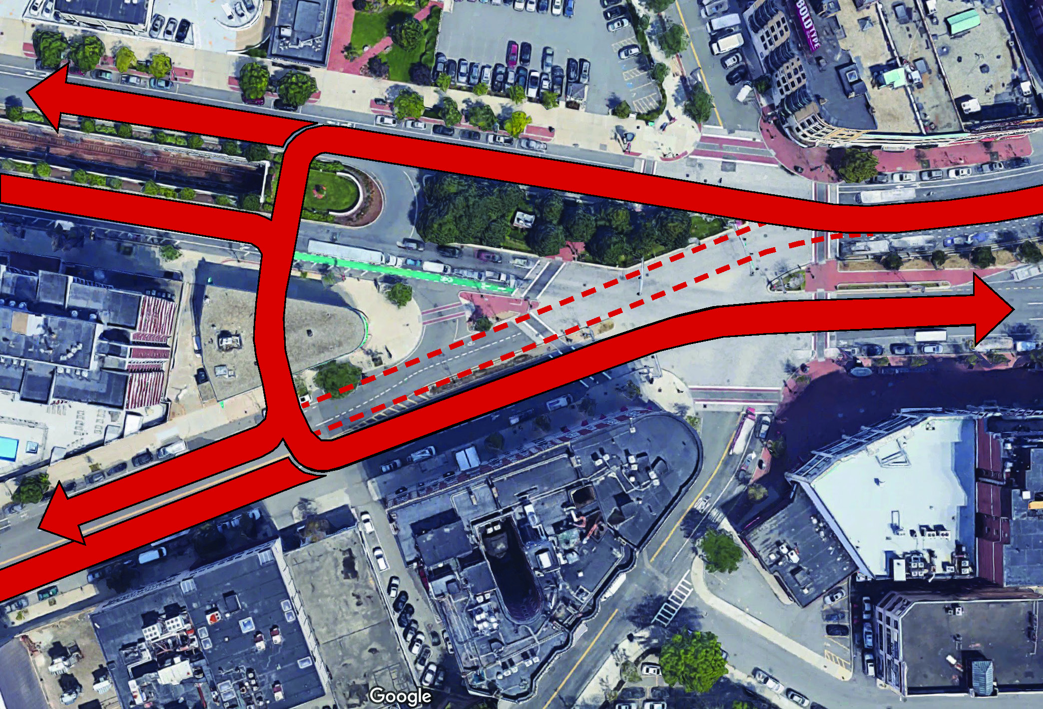
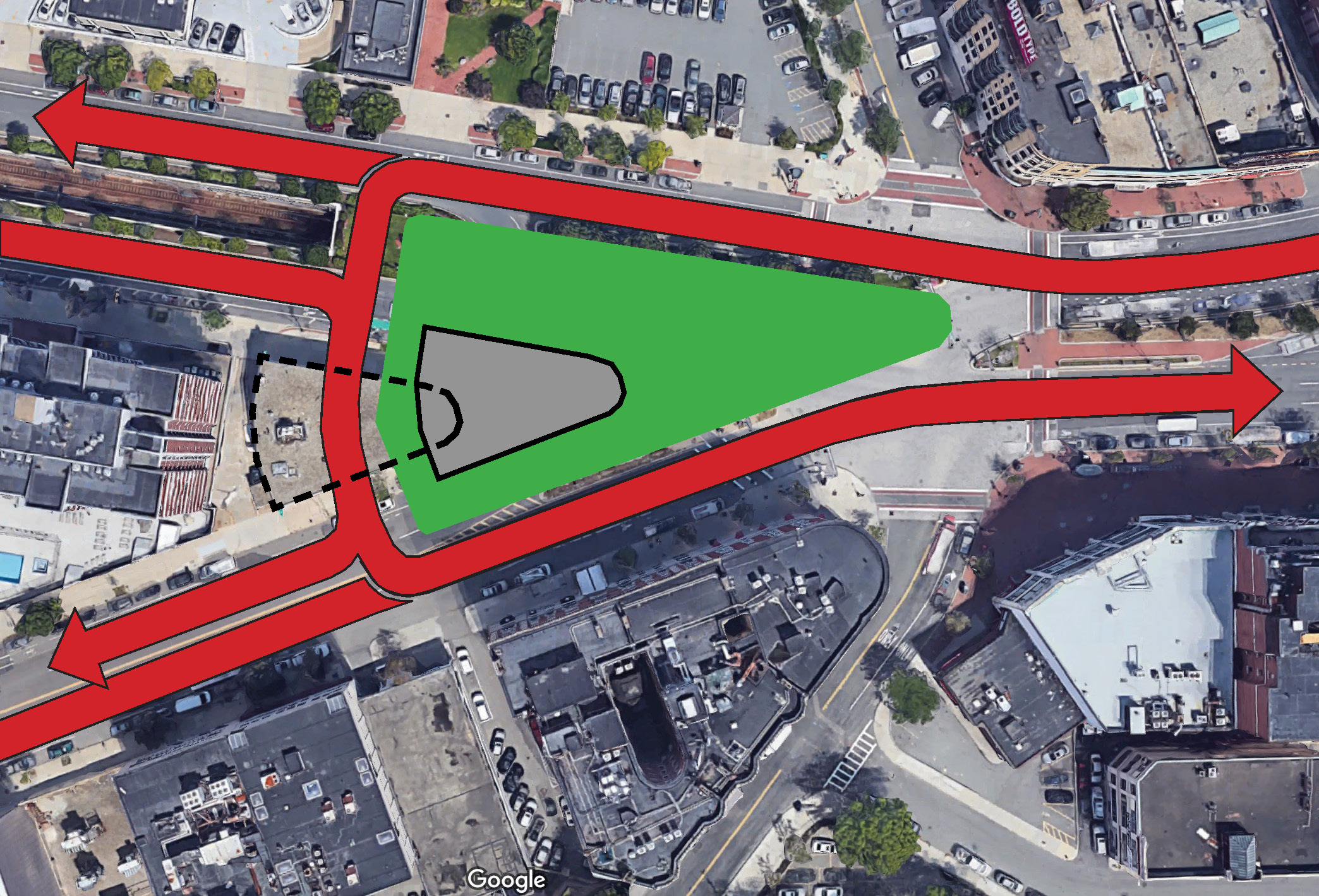
In addition to removing asphalt and drastically shortening crossing distances, this change should also reduce dangerous driving by interrupting sight lines through the square. While it requires more turning motions, the new configuration adds efficiency by simplifying the main traffic signal from four phases to three. This outcome is the result of pulling the transition from Commonwealth to Beacon out of the square, so that it no longer conflicts with pedestrian flows. The result is a Kenmore Square whose heart is a public space rather than a busy roadway.
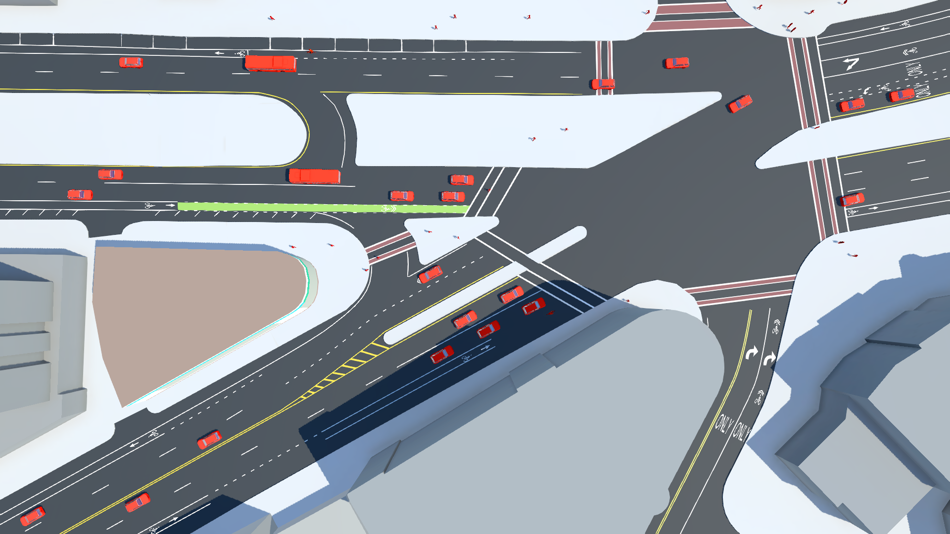
When explaining such a complicated street reconfiguration, conventional graphics can fall short. For that reason, we commissioned a video from a former game designer, Spencer Boomhower of Cupola Media. Any confusion that persists at this point should be clarified by the video.
Kenmore Square Square from Cupola Media on Vimeo.
So, how did my client feel about the new square? Excited enough to replace his already-submitted plan. More to the point, it became clear that this alternative proposal, with its traffic improvements and large new public space, addressed head-on a number of concerns already raised in the community.
City planner Jeff Speck, AICP, CNU-A, LEED-AP, Honorary ASLA, is the principal of Speck & Associates and the author of the best-selling book Walkable City and the just-released Walkable City Rules, 101 Steps to Making Better Places.
Read More:
Stay in touch
Sign up for our free newsletter
More from Streetsblog USA
Friday’s Headlines Got Served
Another day, another GOP lawsuit trying to overturn a Biden administration climate change rule.
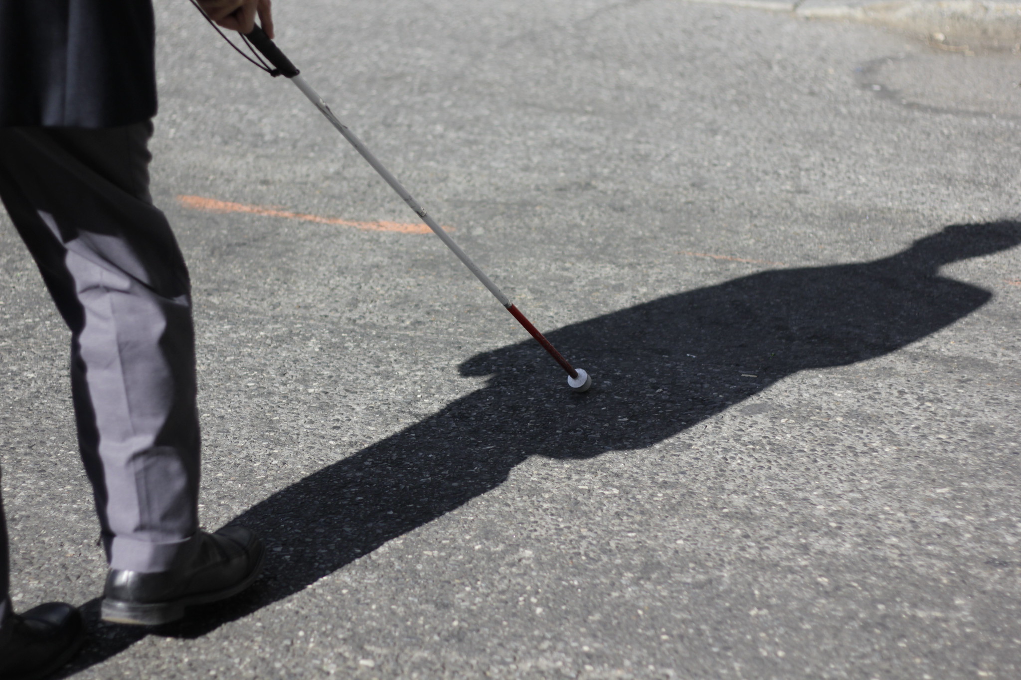
Disabled People Are Dying in America’s Crosswalks — But We’re Not Counting Them
The data on traffic fatalities and injuries doesn’t account for their needs or even count them. Better data would enable better solutions.
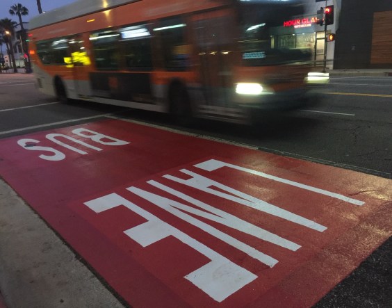
LA: Automated Enforcement Coming Soon to a Bus Lane Near You
Metro is already installing on-bus cameras. Soon comes testing, outreach, then warning tickets. Wilshire/5th/6th and La Brea will be the first bus routes in the bus lane enforcement program.
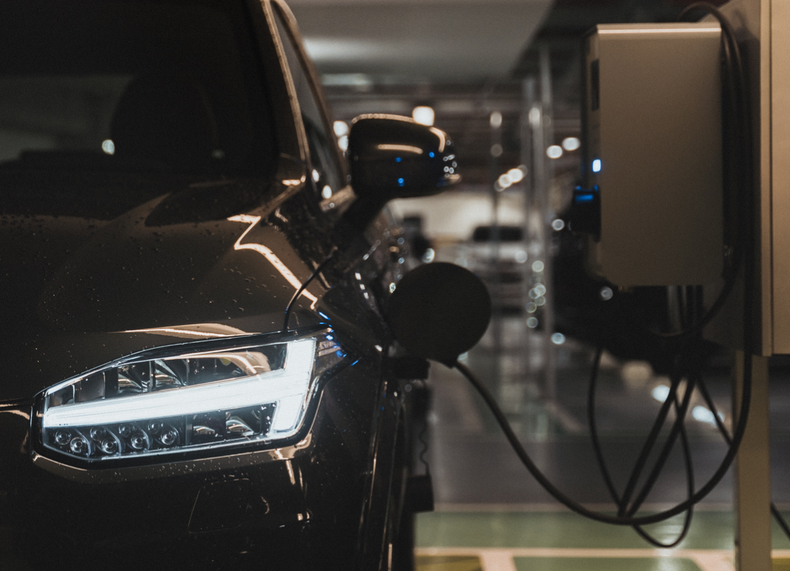
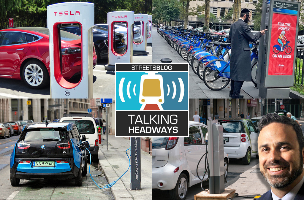
Talking Headways Podcast: Charging Up Transportation
This week, we talk to the great Gabe Klein, executive director of President Biden's Joint Office of Energy and Transportation (and a former Streetsblog board member), about curbside electrification.
Why Does the Vision Zero Movement Stop At the Edge of the Road?
U.S. car crash deaths are nearly 10 percent higher if you count collisions that happen just outside the right of way. So why don't off-road deaths get more air time among advocates?