What It Would Take to Map Every Sidewalk In Your State

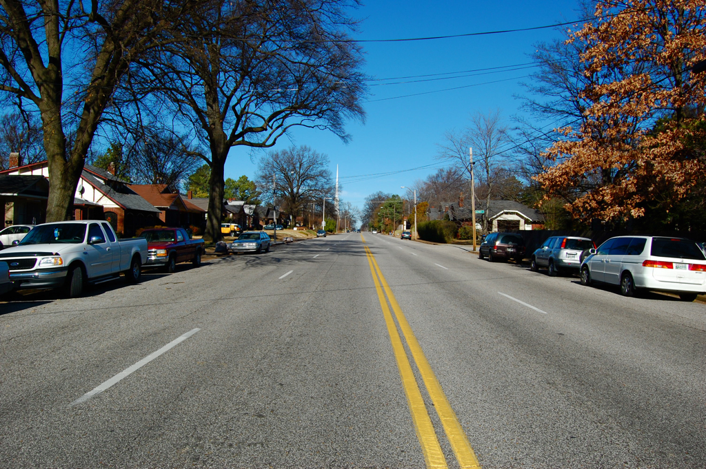
Washington State is on the brink of completing America’s first comprehensive, statewide inventory of every single sidewalk and pedestrian path within its borders — and along with it, a collection of tools that make it easy for transportation professionals and every day travelers to see exactly where those paths fall short.
But why did it take any American state so long to create something like this, even in an era of Google Maps and ubiquitous AI? And what will it take to bring it to communities across the country in a way that lasts — and allows the data to keep getting better?
Today on The Brake, we chat with Dr. Anat Caspi about the resource she’s calling OS Connect — short for Open Sidewalks — and the upcoming conference to explore the challenges and opportunities of leveraging big data for big change in the pedestrian realm. And along the way, we explore how her late daughter, Aviv, helped inspire her work, the tool named in her honor, and the importance of “anti-ableist AI” and bringing the human perspective to technology.
For a full transcript of this podcast (with some AI typos), click here.

Read More:
Streetsblog has migrated to a new comment system. New commenters can register directly in the comments section of any article. Returning commenters: your previous comments and display name have been preserved, but you'll need to reclaim your account by clicking "Forgot your password?" on the sign-in form, entering your email, and following the verification link to set a new password — this is required because passwords could not be carried over during the migration. For questions, contact tips@streetsblog.org.


