Pedaling Toward Progress: San Antonio’s Bold Bike Plan in a Car-Centric State
Editor’s Note: This article was originally published in Transportation Alternatives’ Vision Zero Cities Journal. Transportation Alternatives is dedicated to fighting for better walking, biking, and public transit in New York City.
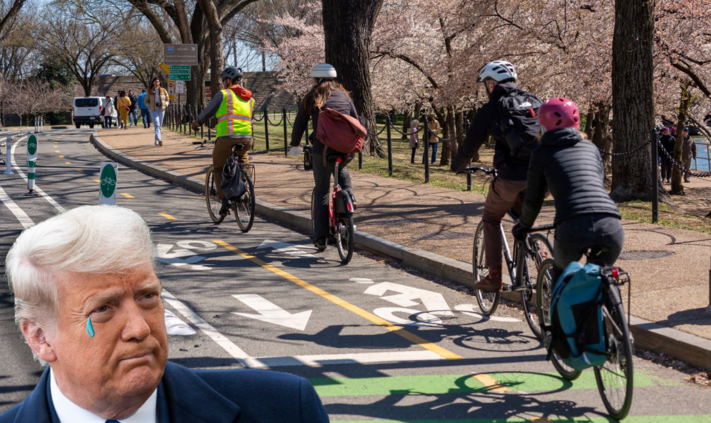
“BICYCLIST HIT, KILLED BY VEHICLE ON THE NORTHEAST SIDE”, read the KSAT News headline on April 2, 2025. Tragic headlines like this are all too familiar in San Antonio and serve as a stark reminder of why we at the City’s Transportation Department do this work: to eliminate traffic deaths.
To move this mission forward, we have crafted The Bike Network Plan (BNP), which was adopted by our City Council on January 30, 2025. The BNP provides safe, sensible, and protected bike facilities where they are most needed, connecting missing network gaps and properly upgrading existing bike facilities.
For a car-dominated city and state, a plan that recommends 1,740 miles of new and upgraded bike facilities faces a bit of scrutiny. “Why waste billions of dollars on bike lanes that no one will use?” “No one even bikes in San Antonio.” “San Antonio wants to turn us into Amsterdam.” Opposition has been loud and clear — and we have been listening. We want to deliver a bike plan that gives everyone safety in their freedom of choice.
Texas Transportation Culture
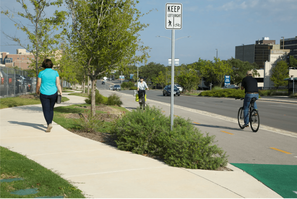
Texas is known for its low density, hot climate, excessively wide lane highways, sprawling suburban areas, and poor accommodations for anyone outside a car. If a bike facility exists at all, cyclists are frequently offered a six-inch strip of white paint as “protection” from the travel lanes.
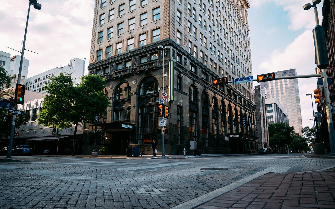
San Antonio is no exception. From the Interstate 35 NEX project to the rebuilding of highways like State Loop 1604, state dollars are primarily used to fund highway projects, creating a challenge for local municipalities in meeting their multimodal goals.
The Bike Network Plan
Our attempt to address these bike-hostile conditions began with the City’s 1997 Master Plan, which first called for a citywide bike network. In 2000, the greenway system, named for bike advocate and former mayor Howard W. Peak, won a dedicated sales tax. Greenway construction began in 2007 with a 2-mile segment between Voelker Homestead and Phil Hardberger Park. Still, street-level improvements lagged until the 2011 Bike Plan and Complete Streets Policy, which gave engineers clear guidance on adding bike lanes, boulevards, and safe pedestrian features to city roads.
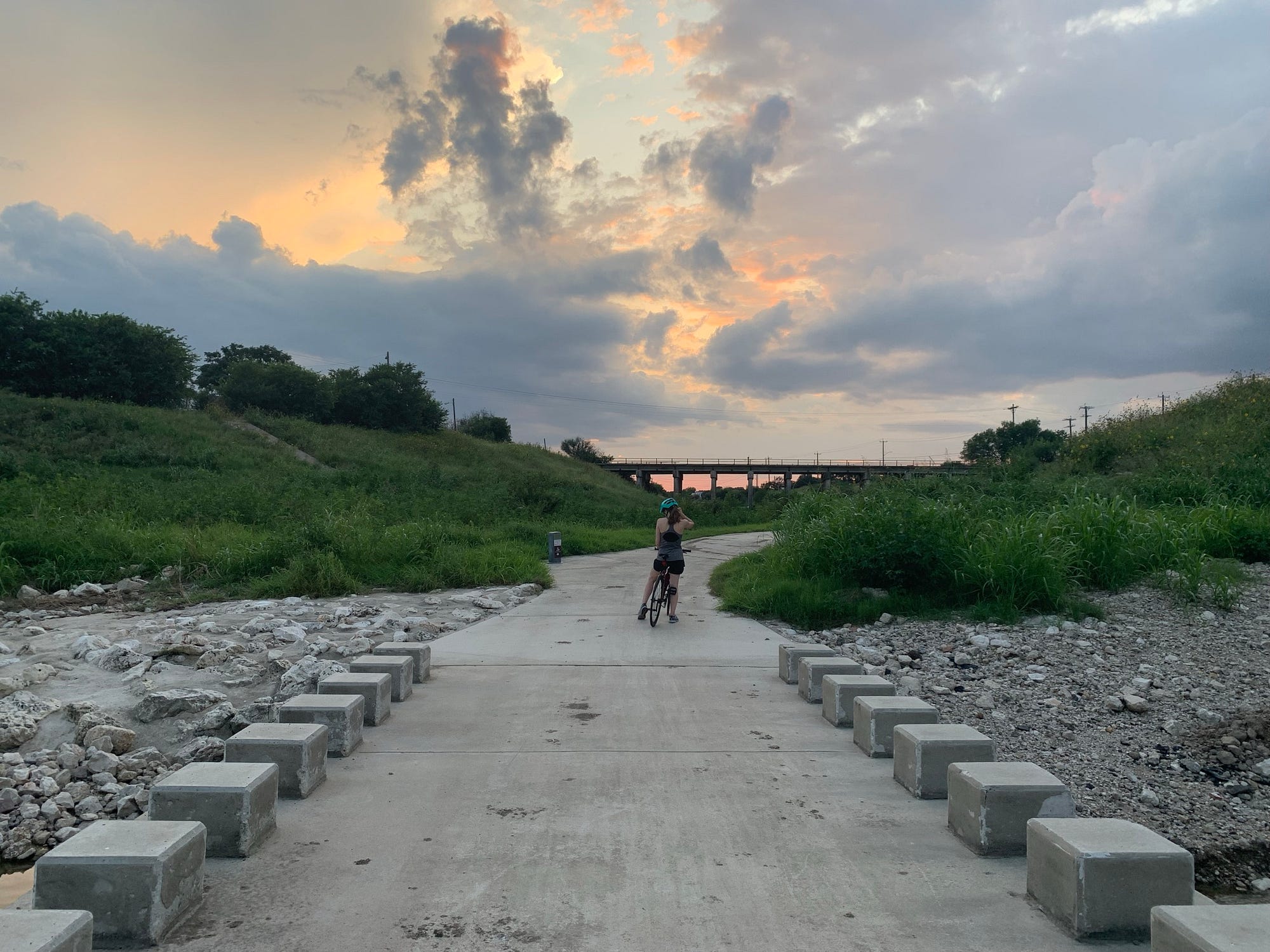
The 2025 BNP was built off the 2011 Bike Plan, aiming to build 1,740 miles of new or upgraded cyclist facilities across San Antonio via safer cyclist facilities, context-sensitive design, and community engagement. The plan will increase the number of residents with access to protected bike lanes by 75% once fully implemented.
The BNP prioritizes fair outcomes for underserved communities. Historically, about 65% of bike infrastructure investment has occurred in wealthier, low equity concern areas at the exclusion of poorer neighborhoods, resulting in 111% more pedestrian and bicyclist crashes in areas of high equity concern. The BNP’s full implementation will increase comfortable bicycling routes in these neighborhoods by 275%, significantly increasing access to schools and grocery stores. Additionally, the BNP recommends that the city decriminalize sidewalk riding and lower speed limits to 20–25 mph in order to make sure that all road users can arrive at their destination safely.
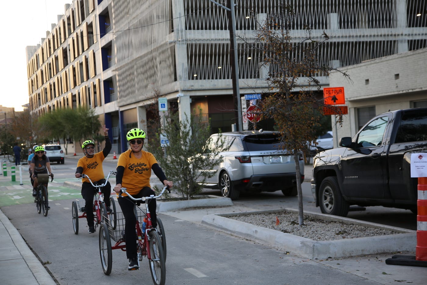
Whether you are a child riding to Mark Twain Academy along West Mulberry Avenue, a nurse traveling along Huebner Road to get to their clinic at the Medical Center, or a veteran utilizing a handcycle down Starcrest Drive to reach the VA Hospital, this plan is designed to include all ages and users on our network.
Policy Meets Politics
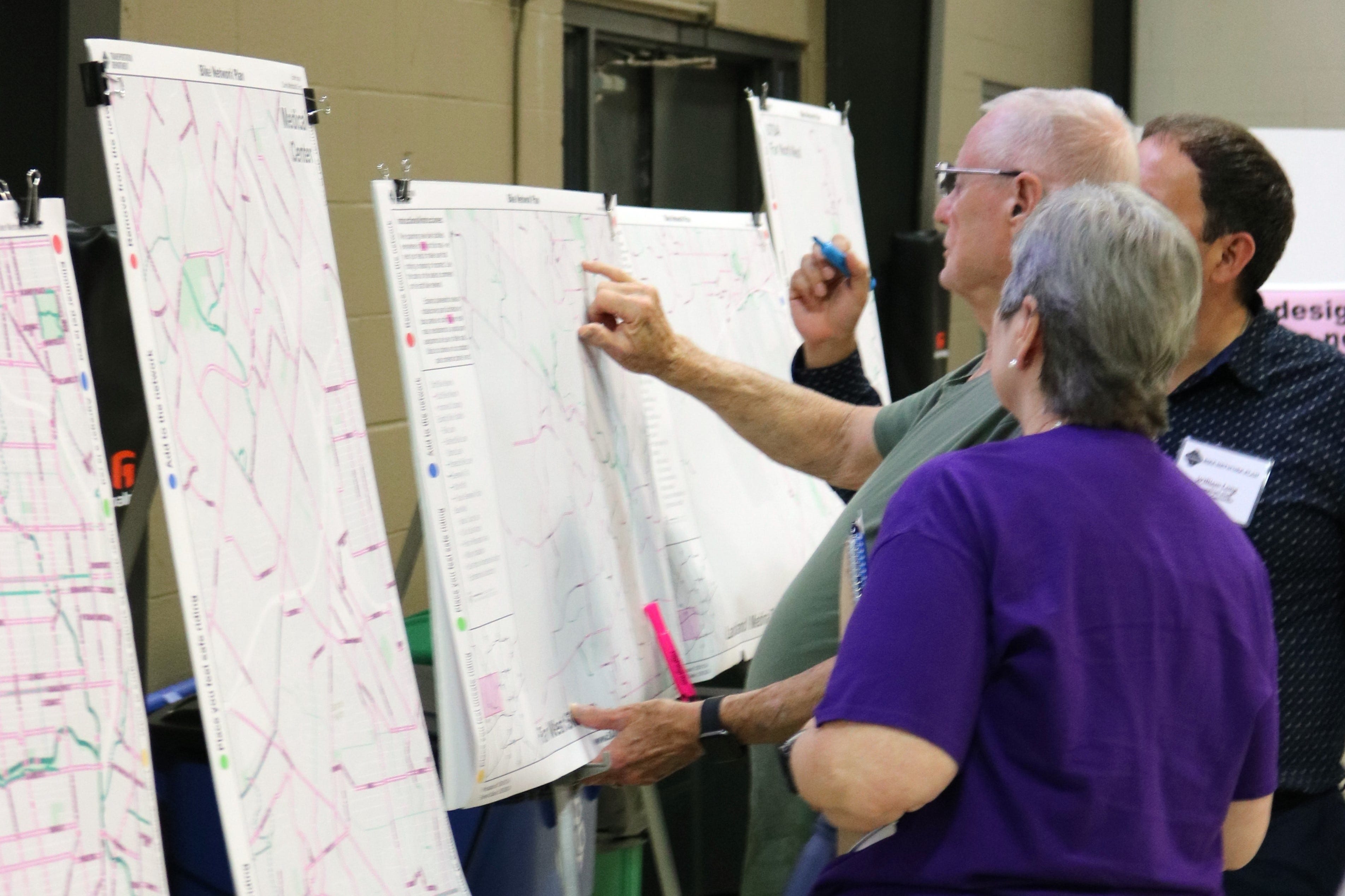
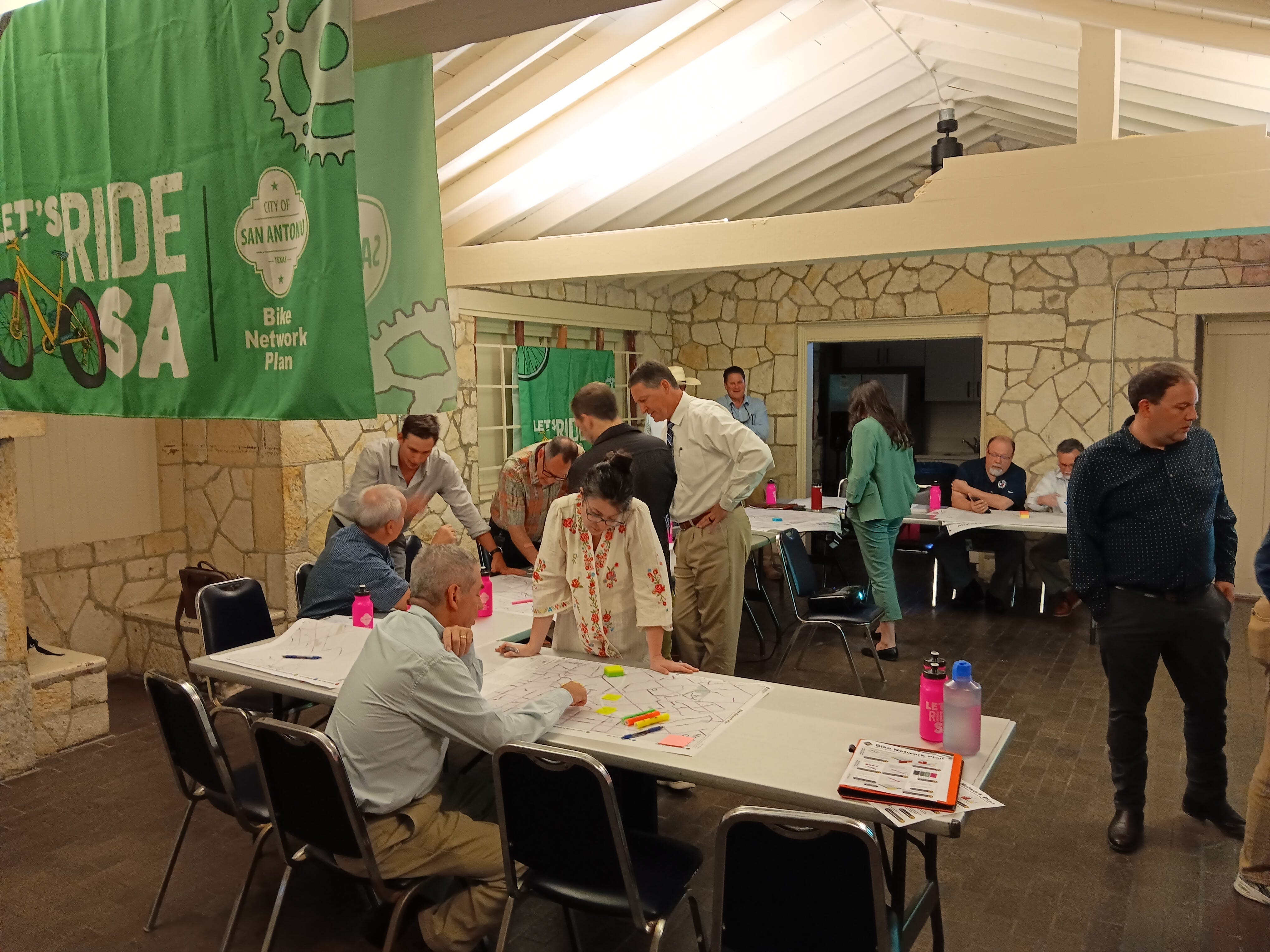
The BNP did not get passed without extensive community engagement. Our 43 engagement events with other city departments and community/neighborhood associations, and our pop-ups allowed us to gather feedback. We held additional stakeholder meetings with accessibility organizations, colleges and research institutions, developers, school districts, and suburban leaders. Council Members were also involved for over two years on a district level.
The core tenet of the BNP — safety and comfort for everyone — clearly resonated, as 98% of BNP survey respondents called for greenways or protected bike lane investments in their neighborhoods.
While our Council Members and Mayor Nirenberg played an important role, we owe it to our Internal Advisory Committee, Mobility Working Group, Health Impact Advisory Committee, and Technical Advisory Committee for helping to underscore interdepartmental collaboration, provide on-the-ground insight, explore cyclist health disparities, and ensure that bicycle design standards uphold safety.
What’s Next
Passing a plan is only the first act in a never-ending, ever-evolving process. Now we have reached the hard parts: funding, implementation, and metric tracking. Performance measures are particularly important as they help us understand how the BNP improves health outcomes, increases recreational opportunities, expands access to schools and jobs, and decreases crash frequency.
The BNP helped spur the creation of our City’s first Multimodal Transportation Committee, made up of 13 members of the community that include transit riders, pedestrians, drivers, and cyclists. Their insights will shape how we prioritize projects and provide a direct line of accountability to the public.
We are also collaborating with our Public Works Department on 30 street projects to incorporate bike facilities, and working on three Bike Network Plan-related projects: McCullough Ave Bike Study, Camden St Bike Lanes, and Woodlawn Lake Bike Facilities. As we implement pilot designs on our priority projects, we will study each corridor to finalize or adjust the layout. After a trial period, each project will move to a permanent design with construction planned over the next eight years and full implementation by 2050.
Headlines like the one we saw on April 2, 2025, are why we do this work. They are more than tragic news alerts — they are calls to action. In a city and state where the car still reigns supreme, building a comprehensive, community-centered bike plan is a revolution in how we think about safety and mobility. That is why it took nearly two years of listening, learning, and leading to get it right.
San Antonio has proven that change is possible. We have shown that designing for bikes is designing for parents and kids getting to school, slowing down drivers on neighborhood streets, and everyone in between.
When you plan for bikes, you plan for people. Know that it will take time, trust, and teamwork, and that it is worth it. Because one day, your plan will do more than just prevent tragic headlines — it will create a future for biking that your grandkids and great-grandkids can admire, appreciate, access, and adore.

Read More:
Streetsblog has migrated to a new comment system. New commenters can register directly in the comments section of any article. Returning commenters: your previous comments and display name have been preserved, but you'll need to reclaim your account by clicking "Forgot your password?" on the sign-in form, entering your email, and following the verification link to set a new password — this is required because passwords could not be carried over during the migration. For questions, contact tips@streetsblog.org.