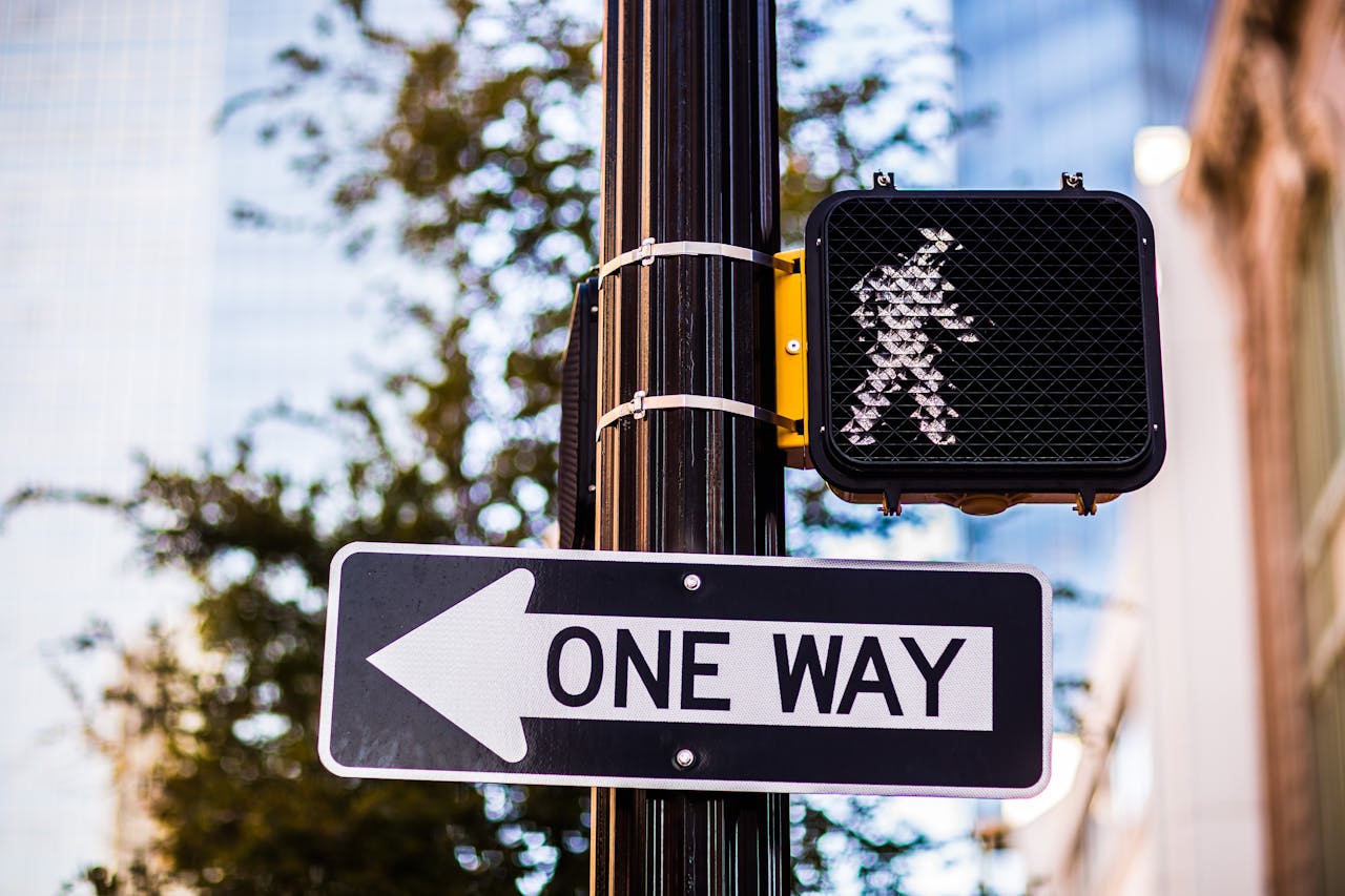
Walk Score just released its annual list of the nation's most walkable cities, and the top of the list generally looks like what you'd expect. New York, San Francisco, Boston, and Philadelphia took the top four spots, though our friends at Transit Miami did take strong exception to their hometown rating right up there in fifth place.
All the way at the opposite end of the spectrum, in last place of all cities with 250,000 or more residents -- trailing paragons of car-centricity like Houston, Phoenix, and Atlanta -- is Charlotte, North Carolina. Charlotte resident Mary Newsom evaluates the claim today at her blog The Naked City:
What does this ranking measure? The Walk Score website says it "measures the walkability of any address using a patent-pending system. For each address, Walk Score analyzes hundreds of walking routes to nearby amenities. Points are awarded based on the distance to amenities in each category. Amenities within a 5-minute walk (.25 miles) are given maximum points. A decay function is used to give points to more distant amenities, with no points given after a 30-minute walk.
Walk Score also measures pedestrian friendliness by analyzing population density and road metrics such as block length and intersection density. Data sources include Google, Education.com, Open Street Map, the U.S. Census, Localeze, and places added by the Walk Score user community."
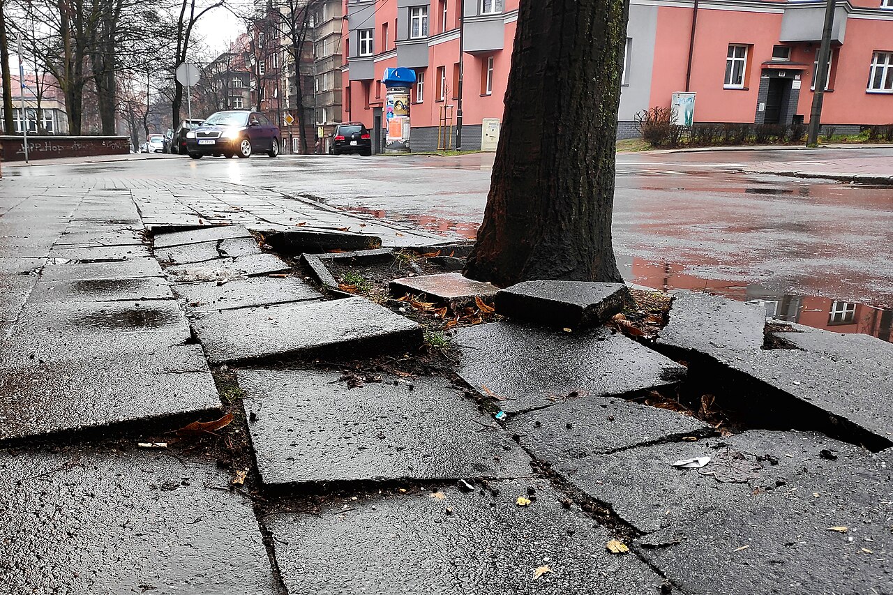
If I read that correctly, Walk Score doesn't measure the existence of sidewalks (although Charlotte wouldn't rank very high in that regard either). So this city's typical Sun Belt-all-spread-out, low-density development means anything you'd want to walk to is probably farther away than in a more densely developed area.
Charlotte also would rank low in block length and intersection density - which essentially measures how well networked the city is with plenty of streets and street corners. Many parts of Charlotte developed during the cul-de-sac era, when streets intentionally did not connect to anything. Even uptown, which at least had a strong grid when it was laid out a couple of centuries ago, has seen many instances of streets being eliminated to accommodate large-footprint projects such as ballparks, stadiums, convention centers and parks.
Elsewhere on the Network today: The Transportationist offers seven smart ways to reduce waste in transportation systems. Systemic Failure reports that the National Institute for Occupational Safety and Health is still propagating the old myth that some bike saddles can make men impotent. And Mobilizing the Region draws a straight line between Long Island's unwalkable thoroughfares and its terrible traffic.


