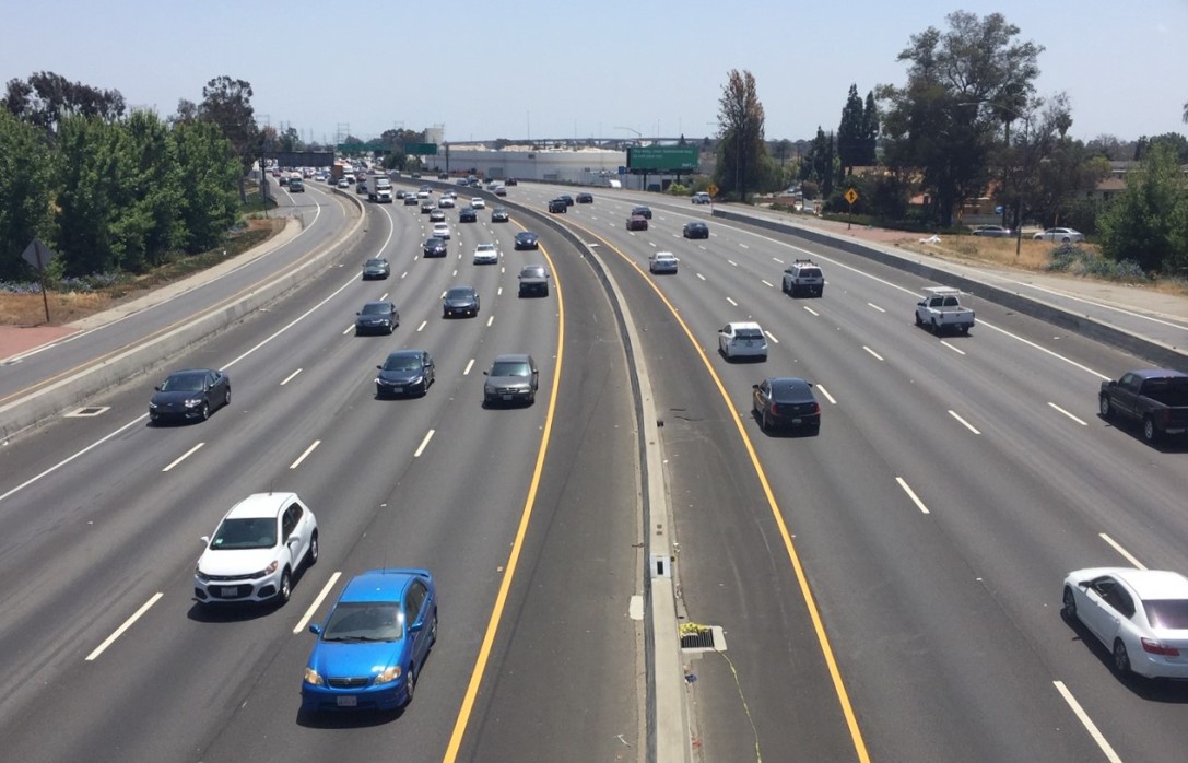
The Upside of iPhones Without Google Transit Directions
As we reported last week, the new Apple mobile operating system, iOS 6, will come with a new, Apple-designed Maps application that eschews Google's mapping tools and comes without standard transit directions. The Apple Maps app will provide driving and walking directions, but transit riders will have to access third-party plug-ins to figure out the best way from point A to point B.
While that could pose a hurdle for millions of iPhone and iPad users, the new system could also encourage the creation of a much richer assortment of transit apps for mobile devices, according to Kevin Webb, who develops mapping and trip planning tools at OpenPlans, Streetsblog's parent organization.
In a recent post on the OpenPlans blog, Webb credits Google for working with transit agencies to share their data in a way that developers can easily use to build applications. But he says that Google had little incentive to devote more resources to its transit apps, and that the ubiquity of Google Maps was suffocating innovation from other developers:
One possible reason is that Google’s free tools de-incentivize others from entering the market. iPhone and Android users have had little reason to download alternate apps, especially paid ones, when the pre-installed features solve much of the need. Unlike many other Google technologies, there’s no current option to extend the functionality for transit or other directions, or incorporate this data into non-Google apps...
There’s tremendous opportunity for innovation in how we design and communicate information about personal mobility. Unfortunately the tools have not kept pace, in part due to a lack of proper incentives for new services. With iOS 6, Apple is building a market for new tools rather than offering a default solution.
Will iOS 6 result in a renaissance of innovation around transit data and improve convenience for transit riders? We'll see.
Stay in touch
Sign up for our free newsletter
More from Streetsblog USA
Friday’s Headlines Are Down on Highways
Two outlets recently featured articles on the harmful effects of ongoing freeway projects.
Commentary: There is Zero Ambiguity to the West Portal Tragedy
What happened in West Portal was entirely predictable and preventable. The city must now close Ulloa to through traffic and make sure it can never happen again.
Talking Headways Podcast: Details of Development Reform in Minnesota, Part I
Jim Kumon of Electric Housing discusses his work as a developer and urban policy educator in the Twin Cities.

Thursday’s Headlines Don’t Like Riding on the Passenger Side
Can you take me to the store, and then the bank? I've got five dollars you can put in the tank.

Study: When Speed Limits Rise on Interstates, So Do Crash Hot Spots on Nearby Roads
Rising interstate speeds don't just make roads deadlier for people who drive on them — and local decision makers need to be prepared.
