Do Your City’s Streets Make Room for People Too? A Handy Visual Test

A big problem with designing cities around cars is that motor vehicles are big and bulky and take up a ton of space. And the more space you give to cars, the greater the pressure to cede even more territory -- to park vehicles and transport all the additional people who no longer find it appealing to walk, bike, or take transit in a more spread-out city.
1000 Friends of Wisconsin set out to show how much of the public right of way in Madison remains dedicated to people, not cars. So they crunched the numbers and developed this great map. Here's what they say about it:
Parking garages and lots aside, many streets have been engineered to allow for faster vehicle travel at the expense of people riding bicycles and walking. The result is a less safe and less pleasant environment for non-car transportation, increased pollution, increased wear and tear on roadways, and increased congestion on those bigger and faster roadways. Conversely, streets with narrower (and sometimes fewer) travel lanes, added bike lanes, properly priced parking, and strong pedestrian infrastructure have positive effects on sustainability and community vibrancy.
One way of measuring the walkability in a community is by comparing the amount of paved roadway to the amount of space for buffer strips and sidewalks. In Madison, Wisconsin, we used a database of street information and aerial imagery to depict the ratio of pedestrian space to total right-of-way on all the city’s streets.
Obviously, the space allocated to pedestrians is only one of many metrics by which we can evaluate an area’s livability and sustainability. However, using increasingly high-quality data to analyze land use patterns and infrastructure priorities can help us identify areas where targeted improvements to the pedestrian experience can make the biggest difference for communities.
Elsewhere on the Network today: Streets.mn feels optimistic about the future of Minneapolis following this week's mayoral and city council elections. The Bike League says federal agencies are starting to show some leadership in bike-friendliness. And Transitized uses visual representations to show the proportional cost of some transportation projects in the Chicago regions. Guess which ones eat up most of the money.
Stay in touch
Sign up for our free newsletter
More from Streetsblog USA
Are Friday’s Headlines the New Normal?
Transit ridership hasn't come all the way back from the pandemic, and they're going to need more federal help, along with other changes, says Governing magazine.
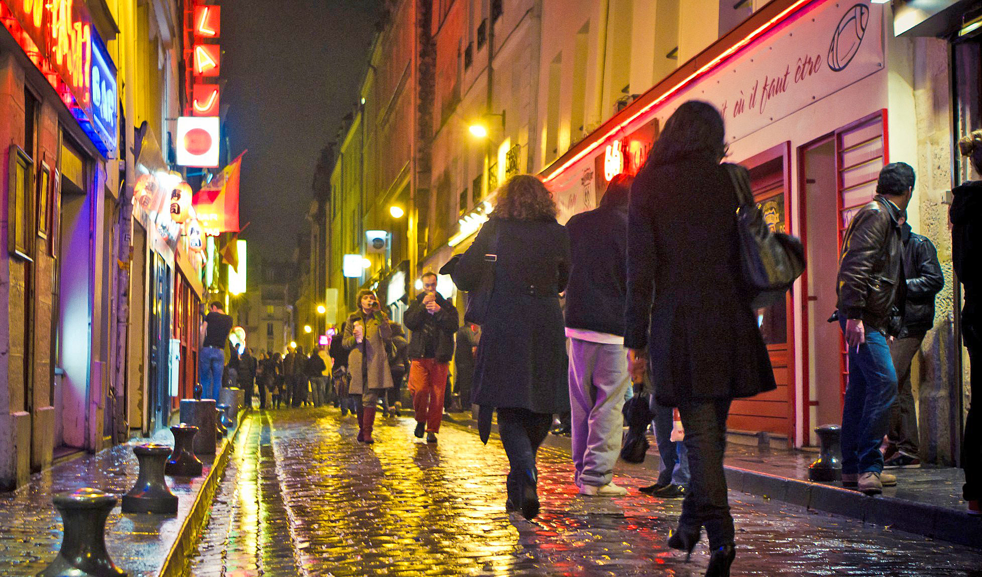
Friday Video: How to Make Places Safe For Non-Drivers After Dark
A top Paris pedestrian planner, a leading GIS professional, and Streetsblog's own Kea Wilson weigh in on the roots of America's nighttime road safety crisis, and the strategies that can help end it.
OPINION: Congestion Pricing Will Help My Family Get Around As We Navigate Cancer Treatment
My partner was recently diagnosed with cancer. Congestion pricing will make getting her to treatment faster and easier.
Talking Headways Podcast: Money is a Lot of Different Things
It's Part II of our discussion with Jim Kumon!
If Thursday’s Headlines Build It, They Will Come
Why can the U.S. quickly rebuild a bridge for cars, but not do the same for transit? It comes down to political will and a reliance on consultants.