In New Orleans, You Should Follow the River
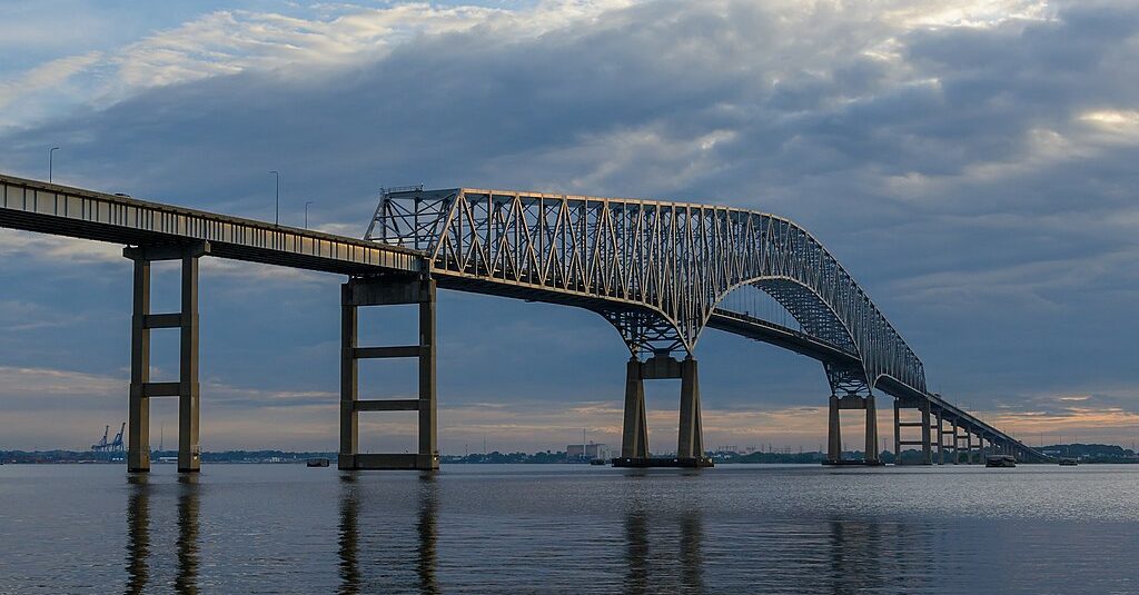
 A city determined by the Mississippi. (Google photo composite: Leto A. via Flickr)
Today on the Streetsblog Network, there's a lovely post about the geographic idiosyncrasy of New Orleans, from NolaCycle Bike Map Project.
This is the blog of a group whose mission is "to create a high quality cycling map of New Orleans" by collecting data from real people who ride the streets of the city, then digitizing it. Print maps are also in the works.
The post reveals just how tricky it is to figure out optimal bike routes in New Orleans, a city whose shape and street plan and very existence are determined by the Mississippi River. And as the state of Louisiana faces environmental crisis, it also touches on how respect for the river's natural power might be the best hope for the city's future:
The first lesson…is to forget your compass and follow the River. Uptown is the direction Upriver; Downtown is the direction Downriver. Don't move north and south, but to the River or away from the River. While you are in the city, away from the River always means toward to the Lake, Lake Pontchartrain.
You can blame all of New Orleans on the Mississippi River, because it built the soggy land we ride on. It built the streets crooked to confuse Midwesterners. It built it flat so that you won't wear your knees out pedaling that beat-up cruiser bike. It built it wet, so that the pavement sinks, settles, and slides at different rates, making potholes, sinkholes, and buckled pavement. It built it low so that you have take bridges to get out of town. And when we stopped it from building New Orleans, we started to lose it to the Gulf of Mexico.
Re-establishing the ecological function of the river is the only way to stave off coastal land loss and the destruction of New Orleans.… The river is the cyclist's ally in the fight against fossil fuels.
Being mindful of the river and its curve can get you where you're going faster.
The entire project illuminates just how vital on-the-ground knowledge of a community is for creating navigational tools. Google's recently launched bike mapping feature has come in for some criticism because it doesn't always incorporate such human knowledge; it remains to be seen if it improves as people alert the company to problems with suggested routes. There's really no substitute for the advice of people who know which way the river lies.
More from around the network: Urban Velo on the fight to create better cycling conditions in Asheville, N.C. Urban Milwaukee writes about how a street in that city was narrowed and the world did not come to an end. And Seattle's Orphan Road cites Boston's Big Dig cites the greenway built over Boston’s Big Dig as a cautionary tale.
Stay in touch
Sign up for our free newsletter
More from Streetsblog USA
Are Friday’s Headlines the New Normal?
Transit ridership hasn't come all the way back from the pandemic, and they're going to need more federal help, along with other changes, says Governing magazine.
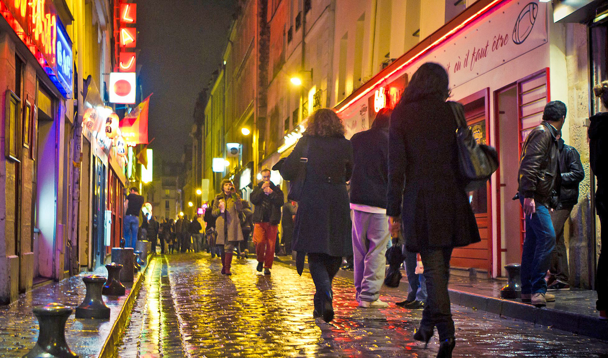
Friday Video: How to Make Places Safe For Non-Drivers After Dark
A top Paris pedestrian planner, a leading GIS professional, and Streetsblog's own Kea Wilson weigh in on the roots of America's nighttime road safety crisis, and the strategies that can help end it.
OPINION: Congestion Pricing Will Help My Family Get Around As We Navigate Cancer Treatment
My partner was recently diagnosed with cancer. Congestion pricing will make getting her to treatment faster and easier.
Talking Headways Podcast: Money is a Lot of Different Things
It's Part II of our discussion with Jim Kumon!
If Thursday’s Headlines Build It, They Will Come
Why can the U.S. quickly rebuild a bridge for cars, but not do the same for transit? It comes down to political will and a reliance on consultants.