Electrification of the Region’s Rail

One of those subtle aspects of life that serves to normalize auto transport as the only thing going is the way most maps are designed to barely include railroad tracks and stations, presumably so as to avoid interfering with roads and Interstates and their giant identification shields. But when we plug some fun data into Google mashup mapping, it is clear that the rail system serving the metropolitan area is extensive, probably more extensive than most people realize. This screenshot shows the location of stations served by New York City's four passenger railroads: Metro-North in blue, NJ Transit in green, the LIRR in red and Amtrak in purple.
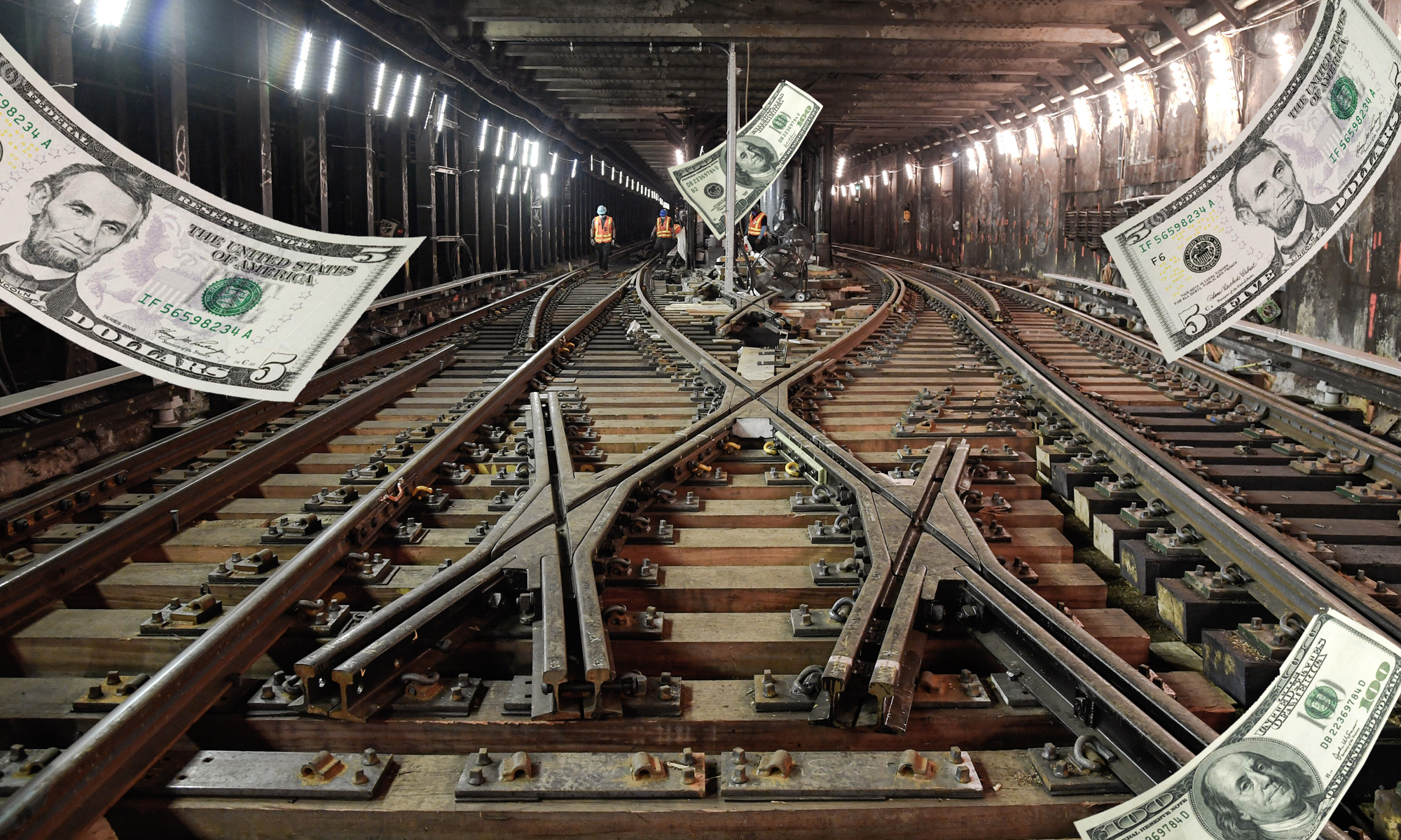
Below those pushpins are the roads, where it is hard to imagine that in 30 or 40 years electric cars will not have advanced into everyday use. Electrification of the automobile fleet is rightly seen as a way to continue to enjoy the benefits of mobility while reducing greenhouse gas emissions and ensuring, to borrow a phrase from Congressman Roscoe Bartlett, that none of the money we send oversees to buy oil comes back to us in the form of terrorism. Electrification of the auto fleet is an important project that will take enormous investment if it is to succeed. Electrification of rail transport, on the other hand, was perfected more than a century ago. It has not yet been fully implemented in our area, though it ought to be. Below the fold is a map showing the portions of the New York City regional rail system that remain to be electrified.

Stations marked in green are served by electric trains, those in brown, diesel. There are clearly a lot of sections that remain to be electrified. Specifically, these are:
Long Island Rail Road
- Montauk Branch
- Oyster Bay Branch
- Port Jefferson Branch east of Huntington
- Ronkonkoma Branch east of Ronkonkoma
Metro-North Railroad
- Hudson Line north of Croton-Harmon
- Harlem Line north of Southeast
- Danbury Branch
- Waterbury Branch
- Port Jervis Line
- Pascack Valley Line
New Jersey Transit
- Main Line
- Raritan Valley Line
- Bergen County Line
- North Jersey Coast Line south of Long Branch
- Boonton Line north of Montclair State University
- Pascack Valley Line
Caveats Emptor: 1) Diesel-powered trains are orders of magnitude less polluting than automobiles when measured in terms of people moved per mile. 2) Electricity is generated by burning fossil fuels. But not all of it.
Stay in touch
Sign up for our free newsletter
More from Streetsblog USA
Tuesday’s Headlines Pick the Low-Hanging Fruit
Greg Shill argues that if a transformative road redesign isn't possible, it's time to talk about second-best strategies.
How to Fight a Texas-Sized Freeway Battle
A new book explores how Texas advocates are fighting back against destructive highway expansions. But what happened to those projects since it was sent to the printer?
S.F. Fire Apologies for Tweeting About Imaginary Bike Rule
There is no rule in California that says cyclists have to ride single file — but the San Francisco Fire Department tweeted about it anyway.
You Wouldn’t Like Monday’s Headlines When They’re Angry
Which state has the worst road rage? Consumer Affairs magazine looked at a variety of factors to come up with an answer.

When it Comes to Federal Infrastructure Grants, Size Does Matter
Cities and municipalities with larger budgets and staff are more likely to win competitive federal infrastructure grants, the Urban Institute has found.