Where Walkability and Affordability Overlap in the D.C. Region

Neighborhoods that are walkable, affordable for lower-income households, and provide access to jobs for people without a car are far too rare.
Tracy Hadden Loh, a data scientist at George Washington University, recently completed a study sorting out which places meet this criteria in the D.C. region. She writes at Greater Greater Washington that some walkable areas do remain affordable:
In the plot, the economic index is a weighted average of rents for office, retail, and multifamily residential buildings (per square foot), compared to a region-wide average for the baseline and discounted for vacancy; the social equity index is a five-part index based on transit-accessible jobs (10%), housing supply (15%), percentage of income spent on housing for a household earning 80% of the area median income (40%), percentage of income spent on transportation for same (20%), and public space per capita (15%).
These places are the site of the most intense and rapid development and demographic pressures and changes in our region, and it often seems like these two metrics are in direct conflict in those circumstances. However, we've identified some special places in our region that are at a "sweet spot" for both investors and residents. Those places are in the upper right quadrant of the plot.
Places in the upper left quadrant have relatively higher rents than the region as a whole, but lower social equity scores. But it's interesting to note that there are places, even in the geographic northwest of DC, that score high on both indices, such as Friendship Heights. In these places, while rents are high, lower transportation costs help keep them within reach for average renters (note: this analysis does not include for-sale housing).
The quadrant where walkability, lower rents across product types, and equity meet is in the lower-right hand corner. Silver Spring scored number one of established ["Walkable Urban Places"] on equity, and it's affordable too! Housing hunters, take note.
Hadden Loh says the full study will be released at an Urban Land Institute event tomorrow.
Elsewhere on the Network today: The Fast Lane announces the cities that won U.S. DOT's "Mayors' Challenge" for safer streets. And BeyondDC says WMATA needs to be much more transparent about its progress restoring the DC Metro if it hopes to regain the public's trust.
Stay in touch
Sign up for our free newsletter
More from Streetsblog USA
Thursday’s Headlines Are Down on Highways
Two outlets recently featured articles on the harmful effects of ongoing freeway projects.
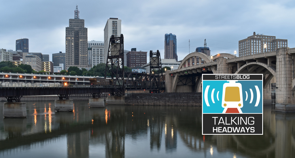
Talking Headways Podcast: Details of Development Reform in Minnesota, Part I
Jim Kumon of Electric Housing discusses his work as a developer and urban policy educator in the Twin Cities.
Thursday’s Headlines Don’t Like Riding on the Passenger Side
Can you take me to the store, and then the bank? I've got five dollars you can put in the tank.

Study: When Speed Limits Rise on Interstates, So Do Crash Hot Spots on Nearby Roads
Rising interstate speeds don't just make roads deadlier for people who drive on them — and local decision makers need to be prepared.

Calif. Bill to Require Speed Control in Vehicles Goes Limp
Also passed yesterday were S.B 961, the Complete Streets bill, a bill on Bay Area transit funding, and a prohibition on state funding for Class III bikeways.