Why a Street Designed for Transit Is Also Great for People

When cities devote street space exclusively to buses or trains, they usually encounter some stiff resistance to change. Dan Reed at Greater Greater Washington has been giving the topic some thought, because many of the DC region's upcoming transit projects will require reallocating some lanes from cars to transit.
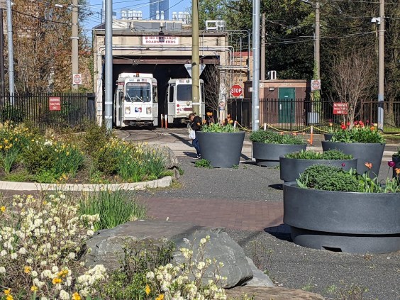
Reed cites Minneapolis's Green Line, which runs through the University of Minnesota ("The U"), as an example of how this type of redesign can work out beautifully. Initially some local players were nervous to see space for cars on Washington Avenue turn into space for transit, biking, and walking. But the results have been more than reassuring:
The U's cooperation with the Metropolitan Council meant that the Green Line could transform Washington Avenue from a traffic sewer to a gathering place. Today, the street feels like a natural extension of the campus. Trains run down the middle of the street, and there are shared bus and bike lanes on either side. The sidewalks are wider, and the crosswalks have special paving materials to make them more visible.
There's also more green space than there was before. Since the Green Line stations are in the center of the street, there's a space between the tracks. It would have been easy to just make it a grassy median, or find a way to squeeze in a car lane. Instead, it's a plaza with tables, chairs, and lush landscaping.
A significant amount of development is happening around the Green Line as a result. Over 2,500 apartments have been built around the U's three Green Line stations, with another 2,000 in the pipeline. New shops and restaurants have opened along the tracks to cater to the influx of students.
When I visited, Washington Avenue was bustling with students walking to class, cyclists headed downtown, and light rail trains gliding down the street. It was a nice place to be, but it was still a transportation corridor. In fact, the transition was so seamless that it wasn't until I flew home and I looked at a map that I even realized cars were banned from part of the street.
The Green Line has been an enormous success, Reed says, carrying 40,000 daily riders -- about what was forecast for 2030. Plus, predicted traffic problems haven't materialized. Some car traffic has shifted to nearby streets, while other driving trips appear to have shifted to transit.
Elsewhere on the Network today: A View from the Cycle Path says Americans shouldn't be frightened that bike infrastructure will result in cycling being barred from the rest of the street. And ATL Urbanist hopes that getting more people onto transit and out of clunky, space-consuming cars will start to transform the dead zones (a.k.a. parking lots) in his neighborhood.
Stay in touch
Sign up for our free newsletter
More from Streetsblog USA
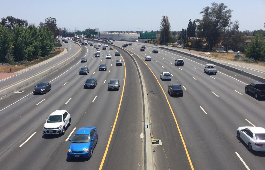
Friday’s Headlines Are Down on Highways
Two outlets recently featured articles on the harmful effects of ongoing freeway projects.
Commentary: There is Zero Ambiguity to the West Portal Tragedy
What happened in West Portal was entirely predictable and preventable. The city must now close Ulloa to through traffic and make sure it can never happen again.
Talking Headways Podcast: Details of Development Reform in Minnesota, Part I
Jim Kumon of Electric Housing discusses his work as a developer and urban policy educator in the Twin Cities.
Thursday’s Headlines Don’t Like Riding on the Passenger Side
Can you take me to the store, and then the bank? I've got five dollars you can put in the tank.

Study: When Speed Limits Rise on Interstates, So Do Crash Hot Spots on Nearby Roads
Rising interstate speeds don't just make roads deadlier for people who drive on them — and local decision makers need to be prepared.
