Mapping Accessibility: What Can You Get to in 20 Minutes?

In the U.S., one metric dominates the public discussion about transportation: traffic congestion. Rankings are published every year assessing how clogged the streets are in different cities, and transportation agencies devote a great deal of resources trying to reduce congestion.
The outcome of all this effort, however, doesn't even help people get places. In metro areas like St. Louis, for example, average commute times have increased as congestion has fallen. That's because all the infrastructure devoted to relieving congestion also encouraged people to live farther from work. So now people drive longer, faster -- not much of a win no matter how you slice it.
David Levinson, a professor at the University of Minnesota, has developed a different metric -- a way to assess "accessibility," or the ease of reaching destinations.
Andrew Owen, a graduate researcher at UMN, writes at Streets.mn about efforts to formalize the concept so it can be used by local transportation agencies:
The goal of the “Annual Accessibility Measure” project was to develop a method that MnDOT could use on an annual basis to measure accessibility in the Twin Cities. The idea is that it would be a useful performance metric to measure over time. If, in 2013, MnDOT is able to say that more people in the Twin Cities are able to reach more valuable destinations more easily than in 2012, that would be a pretty clear sign that our transportation system is serving us well.
As part of the project, Owen developed the above maps. He explains:
The map [above] shows the number of jobs reachable within 20 minutes of travel by car. People who live in red areas can drive to over a million job locations in 20 minutes, while people in blue or green areas can reach only a fraction of that. This is measured during the AM peak period (7:00 – 9:00), and it accounts for average speeds on roads and highways during that period.
Taking a look at accessibility to jobs by transit, we see a strikingly different picture.
At any given location in the Twin Cities, the transit network provides only a very small fraction of the jobs accessibility that can be achieved by driving. Due to the lower speeds of transit compared to driving, accessibility by transit is less continuous across the region, forming distinct clusters around major job centers. When speeds are low, proximity becomes a more important determinant of accessibility.
It will be interesting to see how accessibility changes for drivers and transit riders in the Twin Cities over time.
Elsewhere on the Network today: West North looks at how the protests in Hong Kong have gravitated to city streets. Strong Towns challenges readers to walk to the grocery store and document obstacles they encounter along the way. And the State Smart Transportation Initiative wonders whether a downturn in carpooling is linked to growth in commuting without a car.
Stay in touch
Sign up for our free newsletter
More from Streetsblog USA
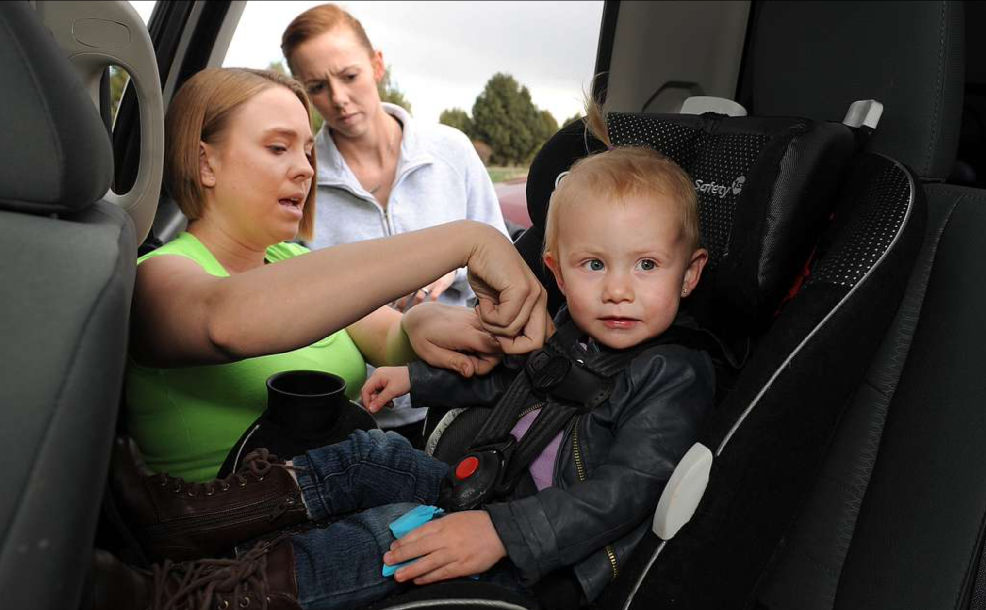
How Car-Centric Cities Make Caring For Families Stressful — Particularly For Women
Women do a disproportionate share of the care-related travel their households rely on — and car-focused planning isn't making matters easier.
Wednesday’s Headlines Build Green
A new bill dubbed "Build Green" would replace many of the climate-friendly elements Sen. Joe Manchin insisted on stripping from the Inflation Reduction Act.

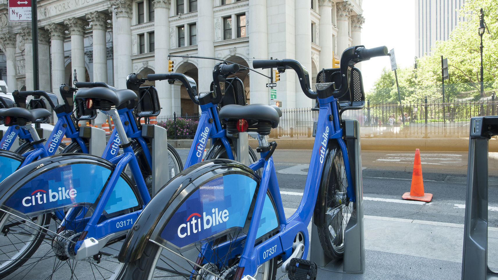
E-Bikes and Creating Financially Sustainable Bike Share Programs
The number of customers using bike share in the U.S. and Canada is now at an all-time high thanks to e-bikes.
Tuesday’s Headlines Pick the Low-Hanging Fruit
Greg Shill argues that if a transformative road redesign isn't possible, it's time to talk about second-best strategies.

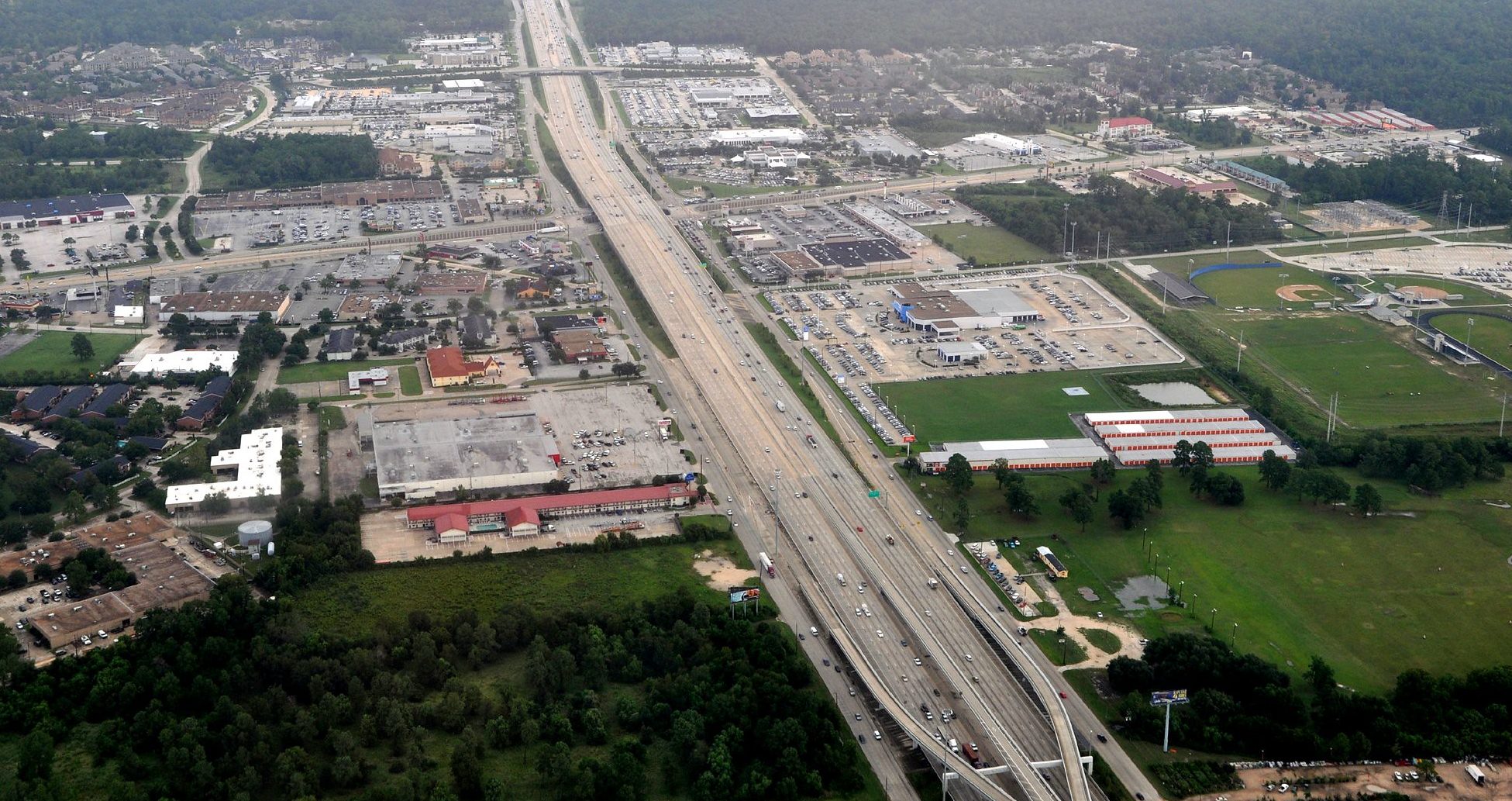
How to Fight a Texas-Sized Freeway Battle
A new book explores how Texas advocates are fighting back against destructive highway expansions. But what happened to those projects since it was sent to the printer?