Can Columbus Get Its Sprawl Under Control?

There's a new study out examining the future of Columbus, Ohio, and the results are a little scary. This growing city in central Ohio has an Atlanta-like geography -- no physical barriers on any side. And if current development patterns continue, Chris Bentley at the Architect's Newspaper reports, the region's physical footprint is expected to more than triple by 2050 as population grows by 500,000:
The Mid Ohio Regional Planning Commission (MORPC), Columbus 2020 and ULI Columbus hired the planning firm Calthorpe Associates to assess the development impact of current trends and make recommendations aimed at curbing patterns that could balloon the region’s environmental problems and its residents transportation budgets.
From the current city land area of 223 square miles, said the study, Columbus and its suburban jurisdictions could swallow up an additional 480 square miles by 2050 if current trends continue. The culprits include large lots for single-family homes and traditional suburban-style development...
"These trends raise important questions about the vitality and competitiveness of our communities and region," reads MORPC’s website.
The study is part of a larger effort dubbed insight2050 that hopes to chart a course for sustainable development in central Ohio.
The planners of insight2050 have outlined four potential future land use scenarios, ranging from the sprawling status quo to an almost completely infill-focused strategy that would develop just an additional 15 square miles.
Elsewhere on the Network today: Rebuilding Place in the Urban Space remarks on how urban farms could increase housing costs in cities with strong housing markets. Greater Greater Washington doubts that lower fares would help Norfolk's light rail. And Twin City Sidewalks explains how Minneapolis' vast network of skyways privatizes what should be public space and undermines diversity.
Stay in touch
Sign up for our free newsletter
More from Streetsblog USA
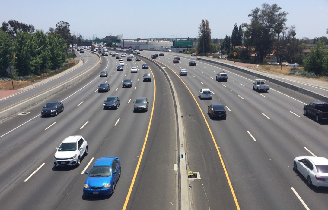
Friday’s Headlines Are Down on Highways
Two outlets recently featured articles on the harmful effects of ongoing freeway projects.
Commentary: There is Zero Ambiguity to the West Portal Tragedy
What happened in West Portal was entirely predictable and preventable. The city must now close Ulloa to through traffic and make sure it can never happen again.
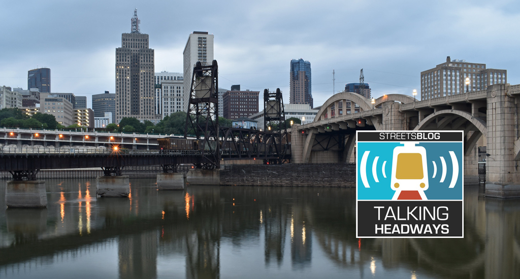
Talking Headways Podcast: Details of Development Reform in Minnesota, Part I
Jim Kumon of Electric Housing discusses his work as a developer and urban policy educator in the Twin Cities.
Thursday’s Headlines Don’t Like Riding on the Passenger Side
Can you take me to the store, and then the bank? I've got five dollars you can put in the tank.

Study: When Speed Limits Rise on Interstates, So Do Crash Hot Spots on Nearby Roads
Rising interstate speeds don't just make roads deadlier for people who drive on them — and local decision makers need to be prepared.
