What Else Could Cities Do With the Space Devoted to Cars?

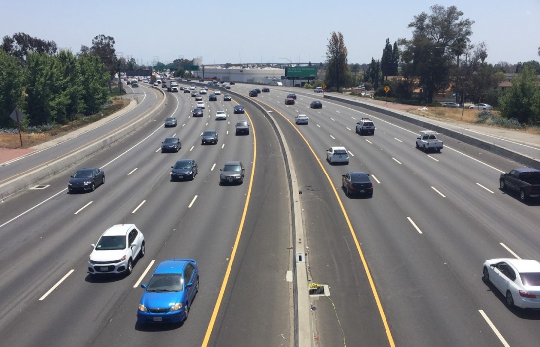
Steve Mouzon's aerial comparison of an Atlanta interchange to the center of Florence has a lot of people thinking about the sheer amount of space that gets sacrificed to make room for cars in our cities.
Darin at ATL Urbanist is thinking about how much space within Atlanta's Fairlie-Poplar neighborhood, where he lives, is devoted to car storage. He put together the above map to illustrate the issue.
Darin says:
[Above] is an image I’ve made that shows, in blue, the amount of land in Fairlie-Poplar that’s devoted entirely to car storage in the form of either surface lots or parking decks (in fairness, I just realized I missed one, so it’s even worse than it looks here). The headline I’d give this is “entire human-inhabited portion of FP could fit inside the land devoted to parking.” Basically, if you developed all the parking structures, you could build a second neighborhood inside itself.
Darin adds that the interchange featured in the original Atlanta-Florence photo is not even that unusual. In fact, the city is building a new $950 million interchange almost directly next to that interchange:
This is exactly the kind of project that a growing metro, already struggling with sprawl damage, needs to avoid. Instead of affordable infill housing in a format that encourages alternative transportation options, this highway-building project is the sort of thing that enables further sprawl and car dependency.
Now is the time to learn from our mistakes in road building, not repeat them. We should build better neighborhoods. Not bigger highways.
Meanwhile, C. Neal at Network blog Rights of Way was inspired to see how much of the Old Port area in Portland, Maine, could fit within Interstate 292's Exit 6 interchange. The answer? Almost all of it.

He writes:
In the gif above, an aerial view of Exit 6 alternates with a rotated view of the Old Port at the same scale. That's the green-roofed City Hall at the western end of Exit 6 near the USM parking garage, and the Custom House is at the other end near Preble Street. Post Office Park occupies less space than the lawn of a single cloverleaf loop.
This cloverleaf intersection, by the way, is one of the most dangerous places to drive in the entire state — it's home to several designated "high-crash locations" and has been described by state officials as having an "obsolete" design that whips cars into vortices of high-speed merges.
Elsewhere on the Network today: Transportation for America takes a closer look at Oregon Democrat Peter De Fazio's proposal to replace the federal gas tax with a per-barrel tax on oil. The Political Environment reports that the state of Wisconsin inexplicably continues to push for a double-decker highway in slow-growing Milwaukee. And Systemic Failure digs into the professional background of the academic who co-authored the study that led to misleading reports about cyclist head injuries in cities with bike-share.
Stay in touch
Sign up for our free newsletter
More from Streetsblog USA
Friday’s Headlines Are Down on Highways
Two outlets recently featured articles on the harmful effects of ongoing freeway projects.
Commentary: There is Zero Ambiguity to the West Portal Tragedy
What happened in West Portal was entirely predictable and preventable. The city must now close Ulloa to through traffic and make sure it can never happen again.
Talking Headways Podcast: Details of Development Reform in Minnesota, Part I
Jim Kumon of Electric Housing discusses his work as a developer and urban policy educator in the Twin Cities.
Thursday’s Headlines Don’t Like Riding on the Passenger Side
Can you take me to the store, and then the bank? I've got five dollars you can put in the tank.

Study: When Speed Limits Rise on Interstates, So Do Crash Hot Spots on Nearby Roads
Rising interstate speeds don't just make roads deadlier for people who drive on them — and local decision makers need to be prepared.
