Parking Madness: San Bernardino vs. Houston
With Milwaukee, Tulsa, Dallas, Louisville, Cleveland, and Atlanta advancing to the second round of Parking Madness, there are only two spaces left in the Elite Eight of parking disasters. In this installment, we're looking at two very different cities, each of which is extremely car-centric in its own way. It's San Bernardino versus Houston.
Let's start with San Bernardino. Here's an old postcard of 3rd and F Street in downtown:

And on this site right now are a mall and its assorted parking lots, which obliterated the street grid:

Reader Kevin Dumler writes:
San Bernardino was, for a time, a very successful and independent metropolitan area in Southern California. In the last few decades, the expansion of hundreds of miles of freeways to the east of Downtown Los Angeles opened up vast tracts of land to affordable housing that had historically been used for a very successful citrus industry. Today, the area around San Bernardino is known as the Inland Empire, well known for endless suburban neighborhoods of single family homes, strip malls, and a reliance on the automobile. According to Smart Growth America, the Inland Empire is the case example of the worst sprawl in America.
In 1853, the Mormon founders laid out an efficient street grid system, based upon the grid of Salt Lake City. In the 1960's, an "Urban Renewal" program saw the establishment of I-215 (which bisected the city) and the demolition of a large section of downtown to make room for "Central City Mall," a largely abandoned building today. Today, the downtown area continues to struggle to attract businesses and is mostly home to a collection government offices (and parking lots).
Pretty striking example of the destructive powers cars can have on a place.
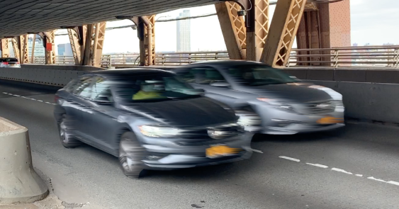
Now on to Houston. An anonymous commenter submitted this photo of "a light rail stop surrounded by blocks of parking on all sides."

It's bad enough to have so much parking around a valuable transit connection, like we saw in Atlanta. But there's an extra twist in this case. This asphalt valley is directly next to an office building for Exxon Mobil (far left).
If you'd like to hunt around this area a little bit on Google Maps, here's the link.
Cast your votes:

Stay in touch
Sign up for our free newsletter
More from Streetsblog USA
Thursday’s Headlines Are Down on Highways
Two outlets recently featured articles on the harmful effects of ongoing freeway projects.
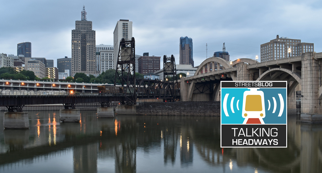
Talking Headways Podcast: Details of Development Reform in Minnesota, Part I
Jim Kumon of Electric Housing discusses his work as a developer and urban policy educator in the Twin Cities.
Thursday’s Headlines Don’t Like Riding on the Passenger Side
Can you take me to the store, and then the bank? I've got five dollars you can put in the tank.

Study: When Speed Limits Rise on Interstates, So Do Crash Hot Spots on Nearby Roads
Rising interstate speeds don't just make roads deadlier for people who drive on them — and local decision makers need to be prepared.

Calif. Bill to Require Speed Control in Vehicles Goes Limp
Also passed yesterday were S.B 961, the Complete Streets bill, a bill on Bay Area transit funding, and a prohibition on state funding for Class III bikeways.