T4A Building Album of USA’s Most Dangerous Streets — Send Your Photos!

When you're walking or biking, you see the world differently than when you're behind the wheel -- it's a fact.
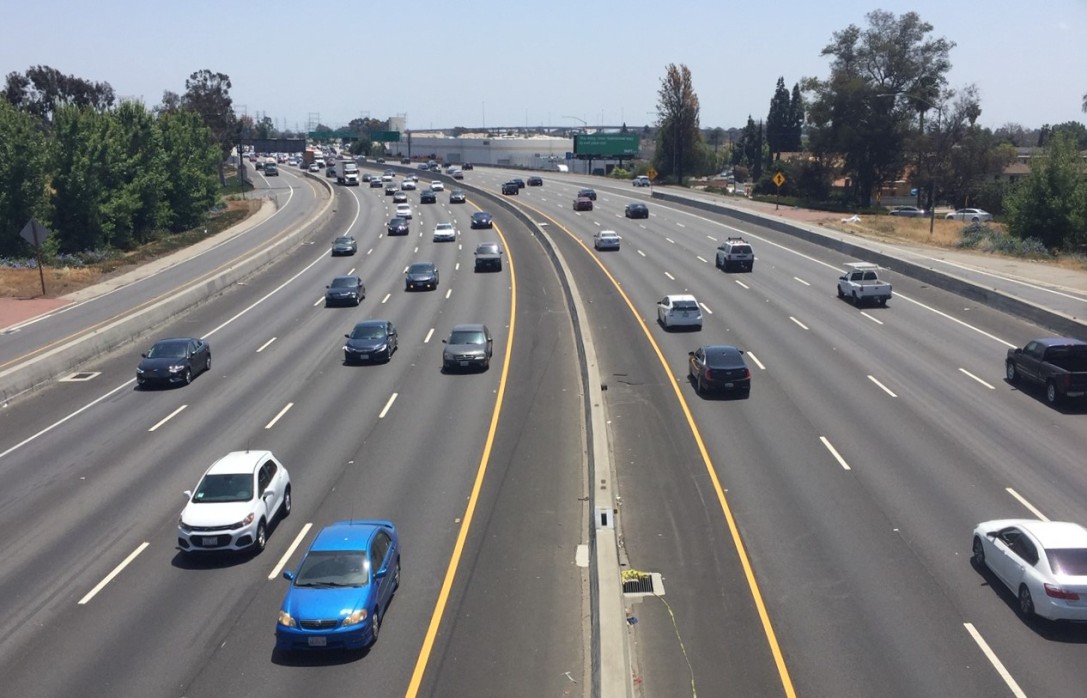
From behind a windshield, a street like the one to the right probably wouldn't warrant a second thought. To the pedestrian or cyclist, however, these streets can be a perilous obstacle, a foreboding reminder that you, by nature of your carlessness, are an unwanted and defenseless intruder in a space designed for fast-moving machines.
I know I notice them (and by "notice" I mean steam starts coming out my ears) -- streets that display a complete disregard for the existence of human beings in a community.
Well, walkers and pedalers, it's time give the world an antidote to the windshield perspective. In response to the Raquel Nelson case, Transportation for America is asking people across the country to send photos of the worst of the worst: the most barren suburban speedways, the narrowest sidewalk-free shoulders, the unmarked crossings fit only for Olympic sprinters to traverse.
Stephen Lee Davis at T4A's blog explains:
We want to see what streets look like out there for people trying to walk. We want to see the missing crosswalks, the 1/2 mile treks to the nearest crosswalk along a 50 mph highway, and dangerous roads designed for speeding traffic rather than safe walking. More than 47,000 people were killed while walking from 2000-2009, and a large majority of them occurred on roads fitting these descriptions.
Poorly designed streets — often built or designed with federal dollars — endanger pedestrians, cyclists and drivers alike. Too many people are walking in these places where they’re likely to become the next statistic because of streets that are dangerous by design.
Your photos will help us in our meetings with Congress and other transportation officials as we press for policies and funding in a transportation bill that will help make walking and biking safer on streets around the country.
There are a few ways to participate. Email your photos with credit information to T4A directly, or upload them to the organization's Flickr page. You can also upload videos to T4A's Facebook page. The results will eventually be compiled into a digital map that will show the locations of dangerous roads around the country.
Elsewhere on the Network today: More reflection on the defeat of the deep-bore highway referendum in Seattle, from the Congress for the New Urbanism. Portland allocates more than $8 million to bike and pedestrian projects, reports Bike Portland. And a writer at Baltimore Spokes says cyclists and pedestrians are engaged in a mass protest of civil disobedience against a world that was designed without their interests in mind.
Stay in touch
Sign up for our free newsletter
More from Streetsblog USA
Friday’s Headlines Are Down on Highways
Two outlets recently featured articles on the harmful effects of ongoing freeway projects.
Commentary: There is Zero Ambiguity to the West Portal Tragedy
What happened in West Portal was entirely predictable and preventable. The city must now close Ulloa to through traffic and make sure it can never happen again.
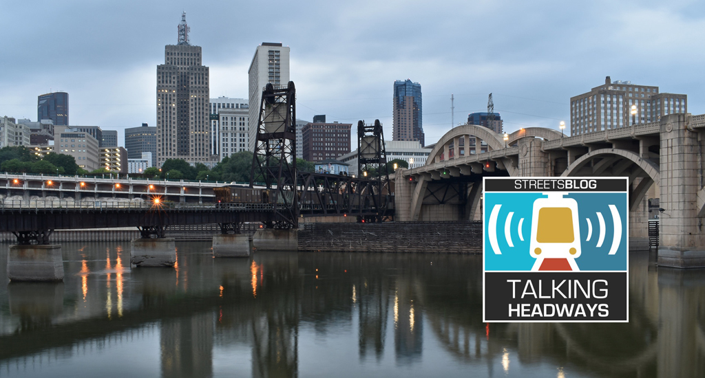
Talking Headways Podcast: Details of Development Reform in Minnesota, Part I
Jim Kumon of Electric Housing discusses his work as a developer and urban policy educator in the Twin Cities.
Thursday’s Headlines Don’t Like Riding on the Passenger Side
Can you take me to the store, and then the bank? I've got five dollars you can put in the tank.

Study: When Speed Limits Rise on Interstates, So Do Crash Hot Spots on Nearby Roads
Rising interstate speeds don't just make roads deadlier for people who drive on them — and local decision makers need to be prepared.
