They Cover the Waterfront: Brooklyn’s Future Greenway

Opening this summer: East River State Park on the Brooklyn waterfront
It was a dreamy spring day on the Brooklyn waterfront as more than 100 bikers set out to trace the proposed route of the Brooklyn Waterfront Greenway.
Starting at the end of Manhattan Avenue in Greenpoint, cyclists were treated to views of the soon-to-open East River State Park as well as an unprecedented spin around the piers that will be part of the future Brooklyn Bridge Park. Watch a StreetFilm showing these rarely seen views here.
 Milton Puryear (right), vice chair and director for planning of the Brooklyn Greenway Initiative (BGI), led the ride and did a great job of explaining the group's vision for the future of Brooklyn's waterfront.
A key part of that vision is the provision for separate lanes for bikers and pedestrians, so that, as Puryear explained, "Cyclists can keep their heart rate up and pedestrians can lower their blood pressure."
The challenge facing the greenway's advocates is considerable. Considering the multitude of owners and interests at work along these now prime pieces of real estate, coordinating the planning and construction of a world-class greenway is an extraordinarily complex undertaking.
Community Board 1 will be holding a planning workshop on May 24th at 6pm where residents of Greenpoint and Williamsburg will be able to brainstorm about planning options for that section of the greenway.
 Several riders commented on how quickly we got from Greenpoint, where condo towers are sprouting right and left, down to the foot of the Brooklyn Bridge. It's easy to imagine how the construction of the greenway would provide a vital physical and psychological connection between the rapidly developing neighborhoods of Williamsburg and Greenpoint and the more established residential neighborhoods to the south -- Dumbo, Brooklyn Heights, Cobble Hill, Carroll Gardens and Red Hook. Right now, these neighborhoods feel very distant from each other, in part because the only way to travel between them is by the G train or by car on the massively overcrowded BQE. But on a bike, cruising along the East River, you can become aware of how close together they all really are -- and how integrated the waterfront's recreational opportunities could become with smart development.
The BGI has a spiffy new map showing the proposed route as well as the current preliminary route along the waterfront. Contact them and get a copy at info [at] brooklyngreenway [dot] org. Then go out and ride it yourself.
Photos: Sarah Goodyear
Stay in touch
Sign up for our free newsletter
More from Streetsblog USA
Friday’s Headlines Are Down on Highways
Two outlets recently featured articles on the harmful effects of ongoing freeway projects.
Commentary: There is Zero Ambiguity to the West Portal Tragedy
What happened in West Portal was entirely predictable and preventable. The city must now close Ulloa to through traffic and make sure it can never happen again.
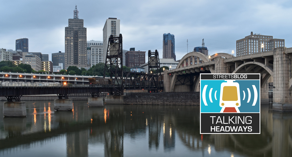
Talking Headways Podcast: Details of Development Reform in Minnesota, Part I
Jim Kumon of Electric Housing discusses his work as a developer and urban policy educator in the Twin Cities.
Thursday’s Headlines Don’t Like Riding on the Passenger Side
Can you take me to the store, and then the bank? I've got five dollars you can put in the tank.

Study: When Speed Limits Rise on Interstates, So Do Crash Hot Spots on Nearby Roads
Rising interstate speeds don't just make roads deadlier for people who drive on them — and local decision makers need to be prepared.
