The latest streets and transportation news from Streetsblog USA.
Today’s newsletter brings you a very important question: What would it take to map all of the sidewalks in your state? It sounds like a pie in the sky question… until you remember that states and tech companies keep a database of virtually every vehicle road in the U.S.
Washington State is on the brink of completing America’s first comprehensive, statewide inventory of every single sidewalk and pedestrian path within its borders, and Kea Wilson discusses it on this week’s episode of The Brake.
Listen to that at the link below… and check out this week’s news headlines as well.
Hyperscale AI data centers and highways are both harmful forms of fossil fuel infrastructure that get built without much community input — and it’s time to fight back against both, one of our favorite podcasters argues.

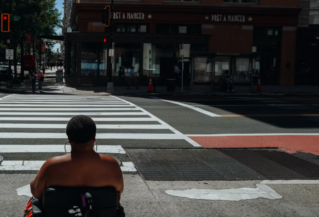 Minority-owned planning firms are as essential as they ever were, these four top experts argue — no matter what the White House says.
 Nearly 6 in 10 transgender respondents in a new study say that they’ve faced harassment onboard.
 Hyperscale AI data centers and highways are both harmful forms of fossil fuel infrastructure that get built without much community input — and it’s time to fight back against both, one of our favorite podcasters argues.
 A survivor of a mass casualty reflects on what she’s learned about car culture, grief, and resilience.