Skip to Content
Streetsblog USA home
Log In
Albuquerque

The People Left Behind By Car-Centric Planning

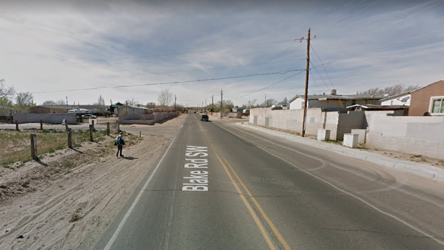
There are five schools within a mile of this location in Albuquerque. Photo: Better Burque

The child walking in the dirt along this high-speed road in Albuquerque isn't the type of person America has designed its transportation systems for.

Engineering formulas and public budgets typically focus on eliminating delay for motorists. A kid walking to school is an afterthought, or worse, an inconvenience in a system that aspires to scientific efficiency in moving cars.

The writers at Better Burque flagged this Google Street View photo as an example of how the city and county should be doing better for people on foot. It's no surprise that a child is walking here:

There are five schools within a one-mile radius here, and many trailer parks, including the one noticeable in this Google Street View. One school, Robert F. Kennedy Charter, is mere feet from this kid.

Despite the obvious failure to design this street so kids can safely walk to school, when drivers harm pedestrians in this type of environment, it's the victim who gets blamed. A few lines appear in the local paper failing to note anything about the configuration of the street or the driver's behavior, and that's the end of it. Patterns of preventable deaths resulting from known design flaws are treated as isolated tragedies we have no control over.

But car-centric roads and land use patterns endanger people on foot every day. They're captured all the time in photos like this one in Nashville:

It is cruel that we do this to people. And then if they're killed we blame them.

Photo: @norakernel @walkbikenash pic.twitter.com/G2QjMlLDjS

— Streetsblog USA (@StreetsblogUSA) November 14, 2017

More people need to see what a hostile environment we've made for people outside of cars, so we're going to do a crowdsourcing project. Do you have photos of people trying to navigate dangerous situations on foot? Either your own work or pulled from Google Maps? Send your images to angie [at] streetsblog [dot] org or tag them on Twitter with #walkinginthemargins.

More recommended reading today: PlanPhilly writes that job sprawl is part of what's keeping many central Philadelphia residents mired in deep poverty. And Seattle Transit Blog explains how the region's new transit fare card will work.

Stay in touch

Sign up for our free newsletter

More from Streetsblog USA
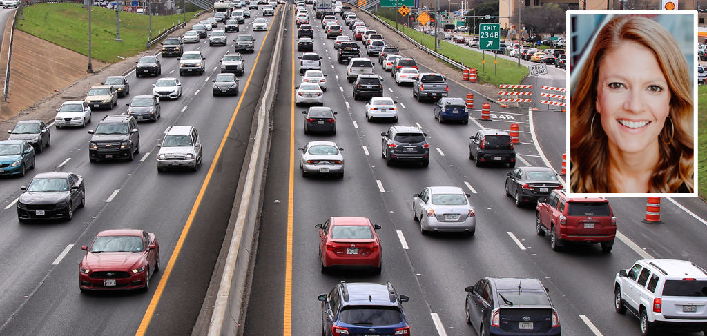
Should Wednesday’s Headlines 86 SUVs?

American tax law encourages people to buy the gas-guzzling and deadly vehicles, but some in Canada are pushing to ban them.

April 24, 2024

Tuesday’s Headlines Fix It First

How voters incentivize politicians to ignore infrastructure upkeep. Plus, are hydrogen trains the future of rail or a shiny distraction?

April 23, 2024

Why We Can’t End Violence on Transit With More Police

Are more cops the answer to violence against transit workers, or is it only driving societal tensions that make attacks more frequent?

April 23, 2024

Justice Dept., Citing Streetsblog Reporting, Threatens to Sue NYPD Over Cops’ Sidewalk Parking

The city is now facing a major civil rights suit from the Biden Administration if it doesn't eliminate illegal parking by cops and other city workers.

April 22, 2024
See all posts