Stay in touch
Sign up for our free newsletter
More from Streetsblog USA
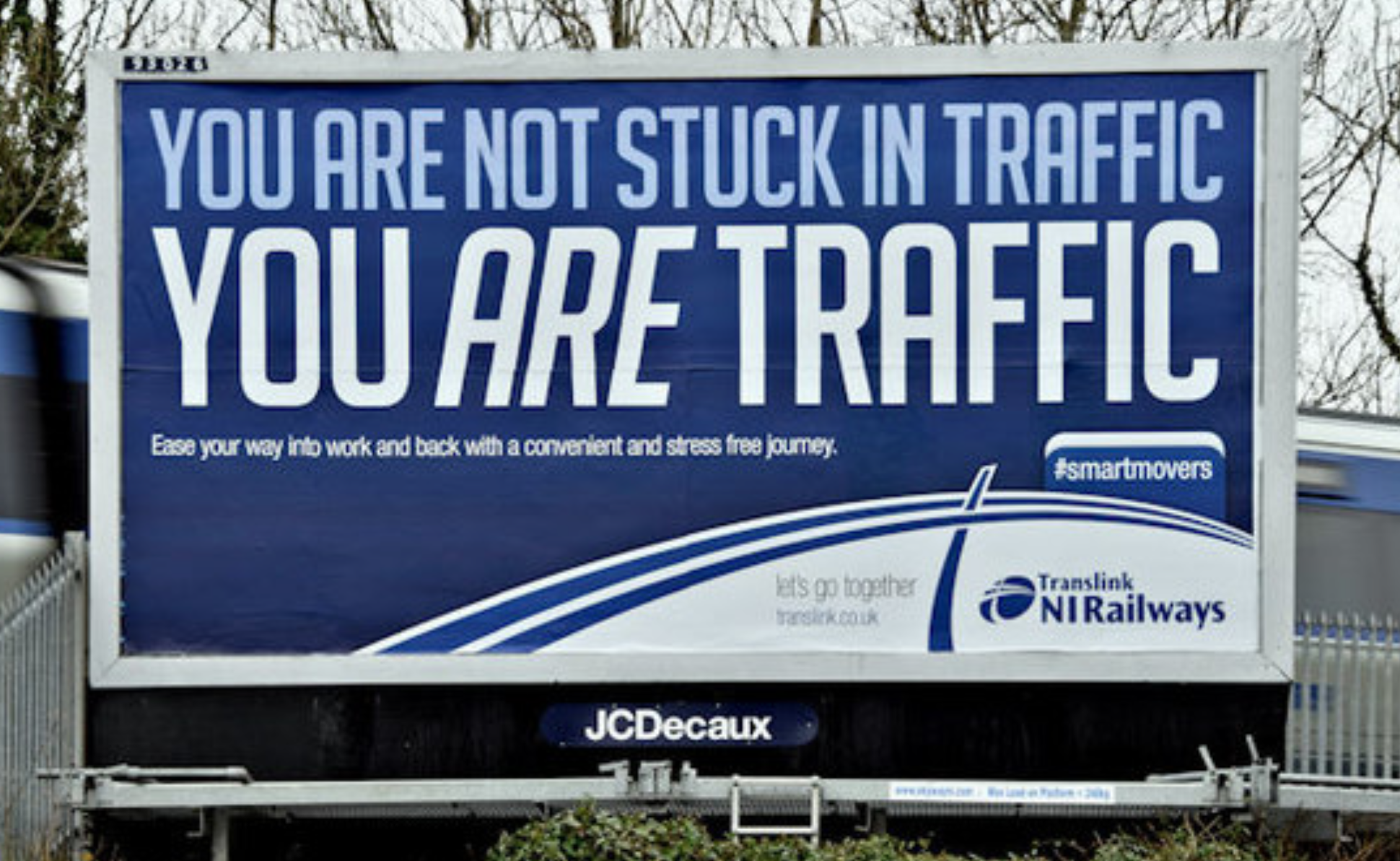
Should Wednesday’s Headlines 86 SUVs?
American tax law encourages people to buy the gas-guzzling and deadly vehicles, but some in Canada are pushing to ban them.
April 24, 2024

Tuesday’s Headlines Fix It First
How voters incentivize politicians to ignore infrastructure upkeep. Plus, are hydrogen trains the future of rail or a shiny distraction?
April 23, 2024
Why We Can’t End Violence on Transit With More Police
Are more cops the answer to violence against transit workers, or is it only driving societal tensions that make attacks more frequent?
April 23, 2024

Justice Dept., Citing Streetsblog Reporting, Threatens to Sue NYPD Over Cops’ Sidewalk Parking
The city is now facing a major civil rights suit from the Biden Administration if it doesn't eliminate illegal parking by cops and other city workers.
Five Car Culture Euphemisms We Need To Stop Using
How does everyday language hide the real impact of building a world that functionally requires everyone to drive?
April 22, 2024