D.C. to Pilot Protected Intersections as Part of Vision Zero Effort

Yesterday, Washington DC officials released the city's Vision Zero plan [PDF], which aims to eliminate traffic fatalities within the District by 2024. It came with a good deal of analysis highlighting where the most dangerous places in the city are.
David Alpert at Greater Greater Washington has the recap of what the city will do to improve safety:
More than half of pedestrian and bicycle deaths happened in the 15 high-crash corridors in this map. (Much of the traveling happens there too, so this isn't a huge surprise). But these identify places where changes could have the most impact.
The report lists a lot of strategies to reduce and eliminate road deaths. You can read them all in the report, but here are a few highlights:
- Fill sidewalk gaps on 40 blocks.
- "Install or upgrade" 20 miles of bike lanes and bikeways. At least five miles would be protected bikeways.
- Build two "protected intersections" as a pilot project. This concept was proposed for New Jersey Avenue and M Street, but wasn't put into effect.
- Create an Urban Design Unit in the Office of Planning. Have it redesign some dangerous public spaces to be safer and also more inviting.
- Pilot some lower speed limits, including two major streets with 25 mph limits, two neighborhoods with 20 mph limits, and some 15-mph limits around schools and other spots with youth and seniors.
- Revise the manual engineers use to design streets so that it mandates designs that accommodate all users, not just cars. There would also be a Complete Streets law requiring this. Mandate that a road's "design speed" as well as the speed limit are right to ensure the street is safe, rather than designing a fast street and posting a low speed limit.
- Organize some "hackathons" to get residents engaged in analyzing safety data and devising solutions.
Elsewhere on the Network today: Carfree Austin compares the volume of impervious pavement in different types of development in Austin. And Transit Columbus details the city's plan to overhaul its bus system to increase frequent service.
Stay in touch
Sign up for our free newsletter
More from Streetsblog USA
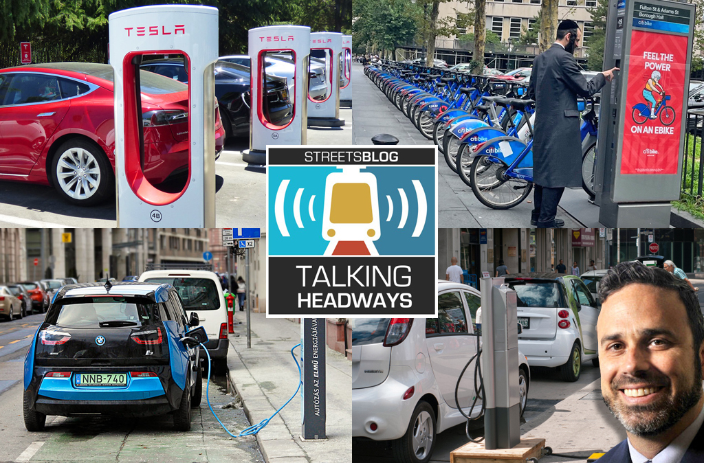
Talking Headways Podcast: Charging Up Transportation
This week, we talk to the great Gabe Klein, executive director of President Biden's Joint Office of Energy and Transportation (and a former Streetsblog board member), about curbside electrification.
Why Does the Vision Zero Movement Stop At the Edge of the Road?
U.S. car crash deaths are nearly 10 percent higher if you count collisions that happen just outside the right of way. So why don't off-road deaths get more air time among advocates?
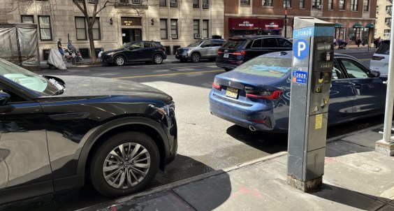
Donald Shoup: Here’s a Parking Policy That Works for the People
Free parking has a veneer of equality, but it is unfair. Here's a proposal from America's leading parking academic that could make it more equitable.
Thursday’s Headlines Turn Up the Heat
Whether you realize it or not, climate change is here, and not just in the form of natural disasters.

Calif. Legislators Tackle AV, School Zone Safety
Are AVs freight trucks ready to be deployed on California roads with no one in them?