Biking the Last Mile in Suburban Copenhagen

Tooling around on Google, Dan Malouff at Greater Greater Washington stumbled on the above image from suburban Copenhagen.
What’s right with this picture? Note the (a) bike parking lot at the Friheden Street transit station, just across the (b) sidewalk from the (c) bike lane.
Writes Malouff:
One of the most important uses for bicycles is as a last mile tool, to get from one's home to a transit station, or from a transit station to one's final destination.
Anywhere you have a transit station with a lot of other buildings a mile or two away, bikes can help connect one to the other. That includes suburbs.
If you provide the necessary infrastructure, and treat bicycling like a serious option, people will use it.
Unlike central Copenhagen, which is dense and difficult to drive a car through, the area around Friheden Street is suburban and relatively low density. Actually it looks a lot communities around the Washington Beltway. [See Malouff's post for images.]
I admit I've never been to Friheden Street. I've never even been to Denmark. Frankly I have no idea if it's a pleasant community, or what the less desirable things about it may be. I'm sure there are trade-offs to it, compared to an American suburb.
But I happened to be on Google Earth looking at Copenhagen, which is famously a bike paradise, and wondered what its suburbs look like. I turned on Google's transit layer and started looking at the areas around suburban stations. Friheden Street just happens to be one I zoomed in on.
And look at all those beautiful bike racks.
Elsewhere on the Network: Walkable West Palm Beach on why the Dutch don’t need helmets or high-viz clothing to bike (hint: it’s street design), and ATL Urbanist reports that someone on Twitter is trolling Atlanta.
Stay in touch
Sign up for our free newsletter
More from Streetsblog USA
Friday’s Headlines Got Served
Another day, another GOP lawsuit trying to overturn a Biden administration climate change rule.
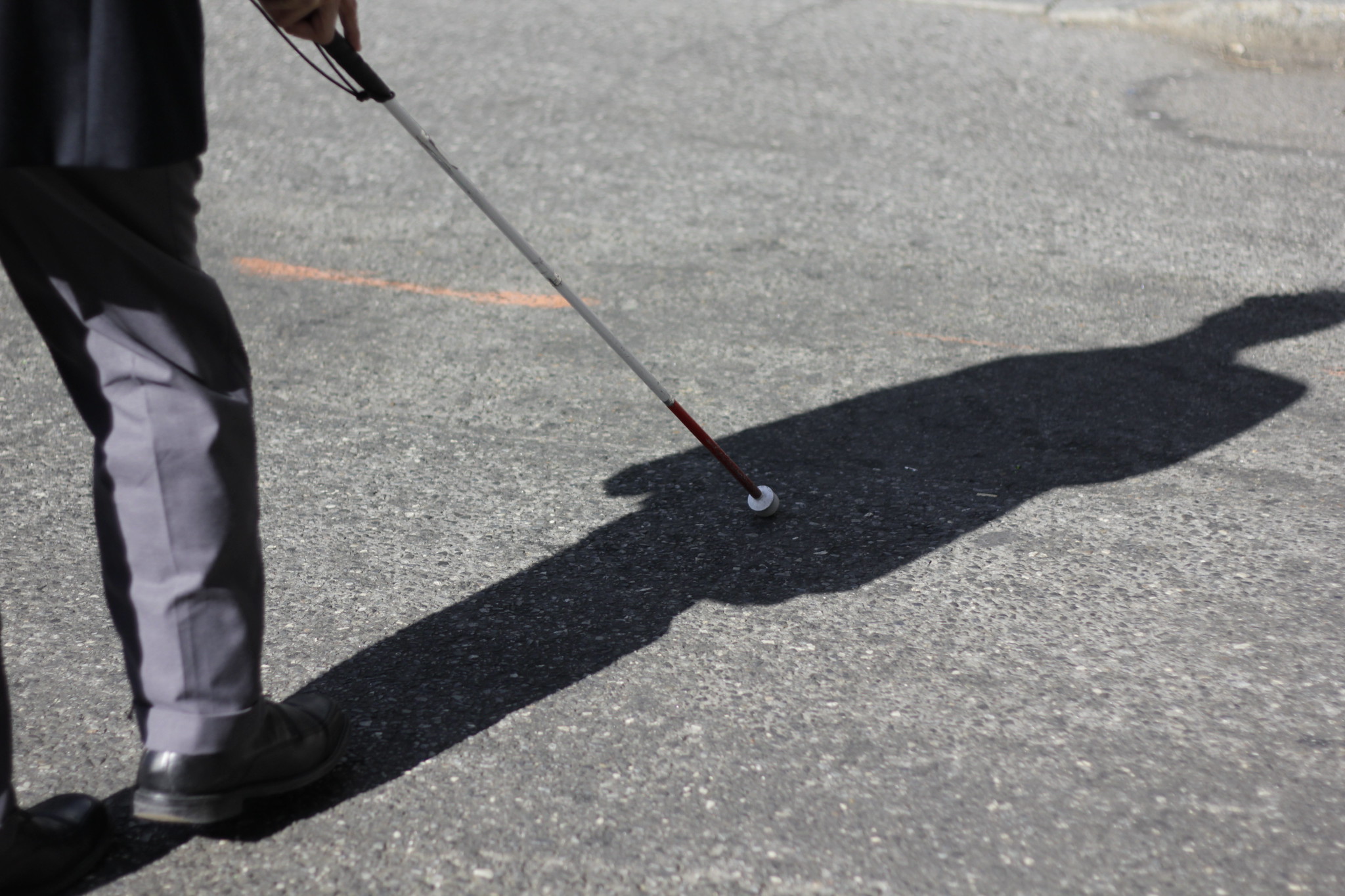
Disabled People Are Dying in America’s Crosswalks — But We’re Not Counting Them
The data on traffic fatalities and injuries doesn’t account for their needs or even count them. Better data would enable better solutions.
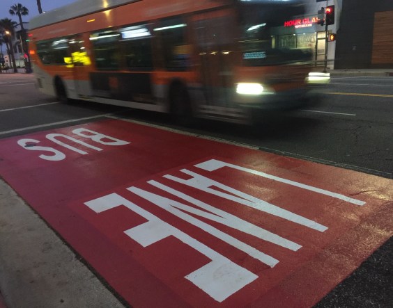
LA: Automated Enforcement Coming Soon to a Bus Lane Near You
Metro is already installing on-bus cameras. Soon comes testing, outreach, then warning tickets. Wilshire/5th/6th and La Brea will be the first bus routes in the bus lane enforcement program.
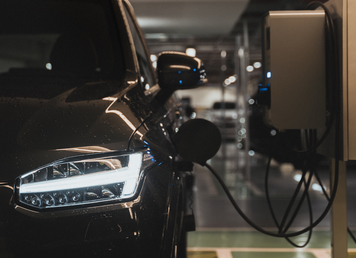
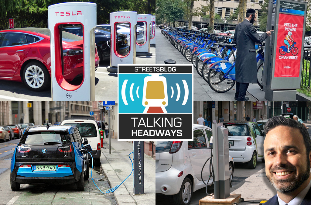
Talking Headways Podcast: Charging Up Transportation
This week, we talk to the great Gabe Klein, executive director of President Biden's Joint Office of Energy and Transportation (and a former Streetsblog board member), about curbside electrification.
Why Does the Vision Zero Movement Stop At the Edge of the Road?
U.S. car crash deaths are nearly 10 percent higher if you count collisions that happen just outside the right of way. So why don't off-road deaths get more air time among advocates?