With Milwaukee, Tulsa, Dallas, Louisville, Cleveland, and Atlanta advancing to the second round of Parking Madness, there are only two spaces left in the Elite Eight of parking disasters. In this installment, we're looking at two very different cities, each of which is extremely car-centric in its own way. It's San Bernardino versus Houston.
Let's start with San Bernardino. Here's an old postcard of 3rd and F Street in downtown:

And on this site right now are a mall and its assorted parking lots, which obliterated the street grid:

Reader Kevin Dumler writes:
San Bernardino was, for a time, a very successful and independent metropolitan area in Southern California. In the last few decades, the expansion of hundreds of miles of freeways to the east of Downtown Los Angeles opened up vast tracts of land to affordable housing that had historically been used for a very successful citrus industry. Today, the area around San Bernardino is known as the Inland Empire, well known for endless suburban neighborhoods of single family homes, strip malls, and a reliance on the automobile. According to Smart Growth America, the Inland Empire is the case example of the worst sprawl in America.
In 1853, the Mormon founders laid out an efficient street grid system, based upon the grid of Salt Lake City. In the 1960's, an "Urban Renewal" program saw the establishment of I-215 (which bisected the city) and the demolition of a large section of downtown to make room for "Central City Mall," a largely abandoned building today. Today, the downtown area continues to struggle to attract businesses and is mostly home to a collection government offices (and parking lots).
Pretty striking example of the destructive powers cars can have on a place.
Now on to Houston. An anonymous commenter submitted this photo of "a light rail stop surrounded by blocks of parking on all sides."

It's bad enough to have so much parking around a valuable transit connection, like we saw in Atlanta. But there's an extra twist in this case. This asphalt valley is directly next to an office building for Exxon Mobil (far left).
If you'd like to hunt around this area a little bit on Google Maps, here's the link.
Cast your votes:

Stay in touch
Sign up for our free newsletter
More from Streetsblog USA
Tuesday’s Headlines Are Driving Inflation
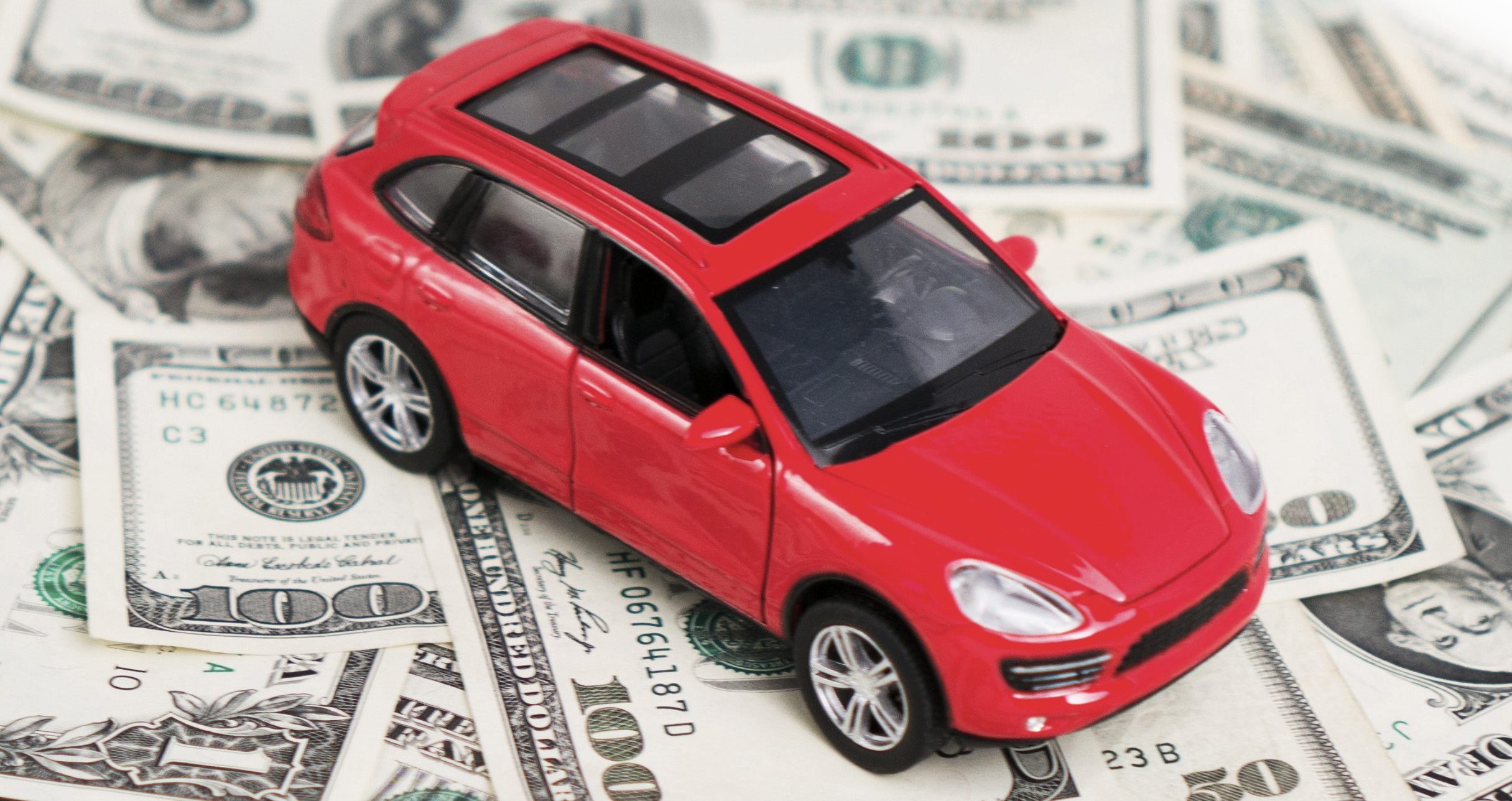
Driving — specifically, the cost of car ownership — is one of the main factors behind inflation, according to the Eno Center for Transportation.
SEE IT: How Much (Or How Little) Driving is Going on in America’s Top Metros
Check it out: The lowest-mileage region isn't the one you'd think.
Monday’s Headlines Bring Another Setback
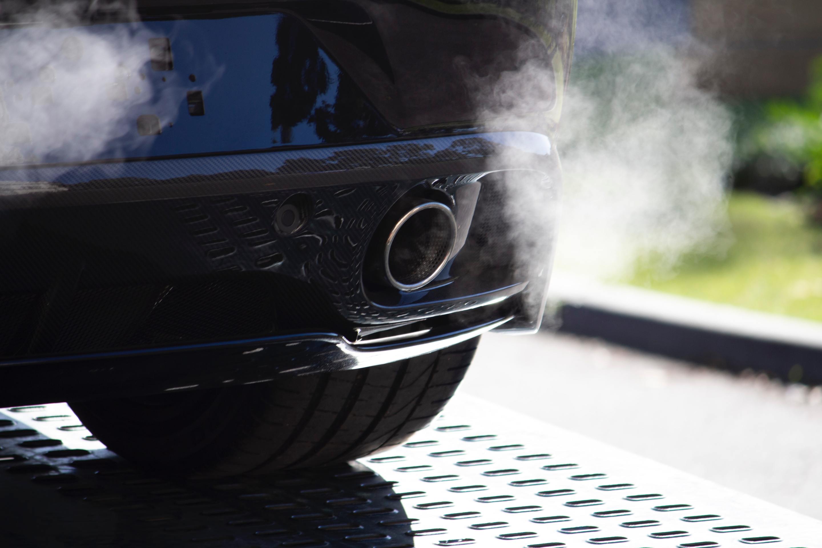
The Biden administration's new rule requiring states to report their greenhouse gas emissions from transportation was dealt another blow when the Senate voted to repeal it.
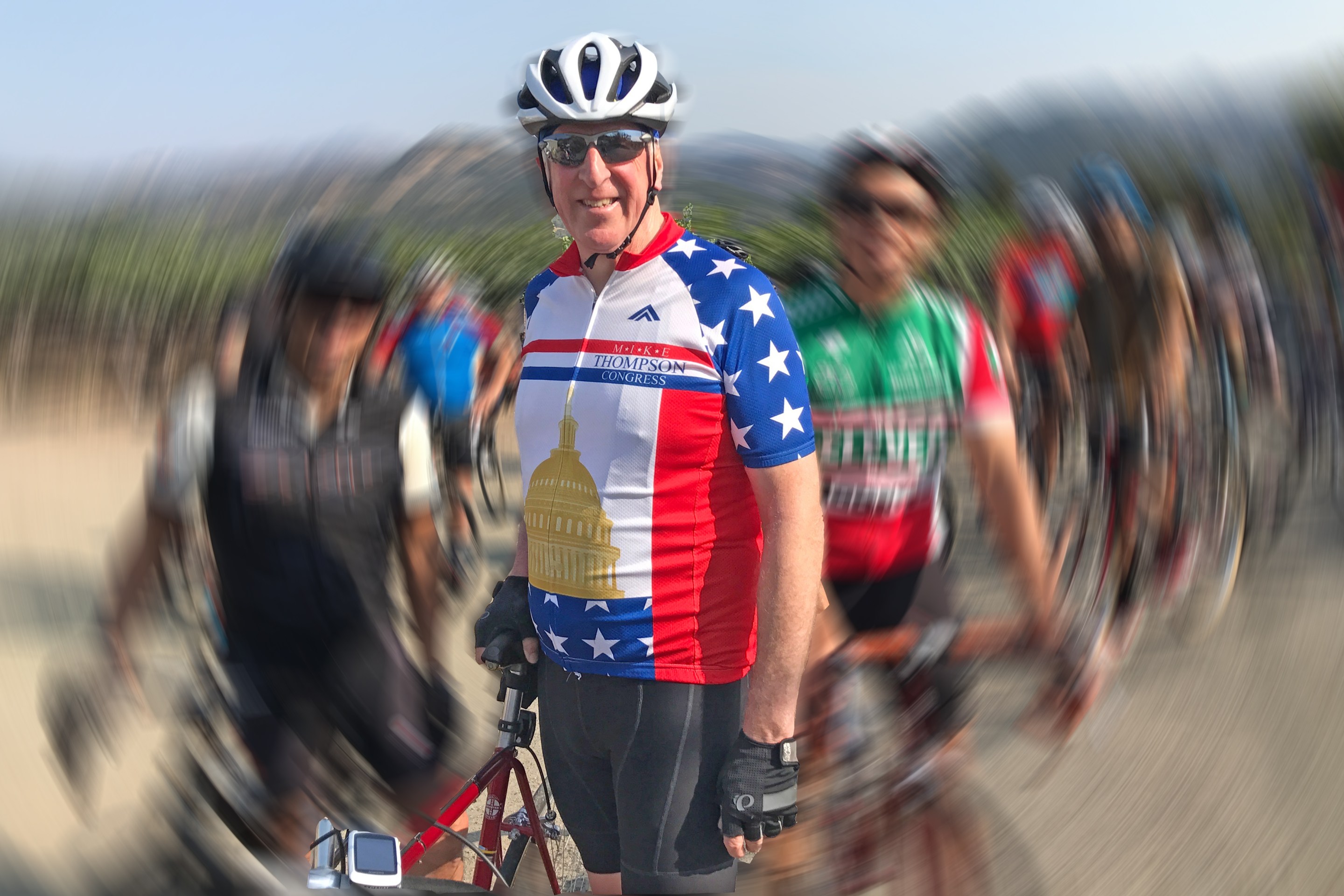
‘The Bike Is the Cure’: Meet New Congressional Bike Caucus Chair Mike Thompson
Meet the incoming co-chair of the congressional bike caucus — and learn more about how he's getting other legislators riding.
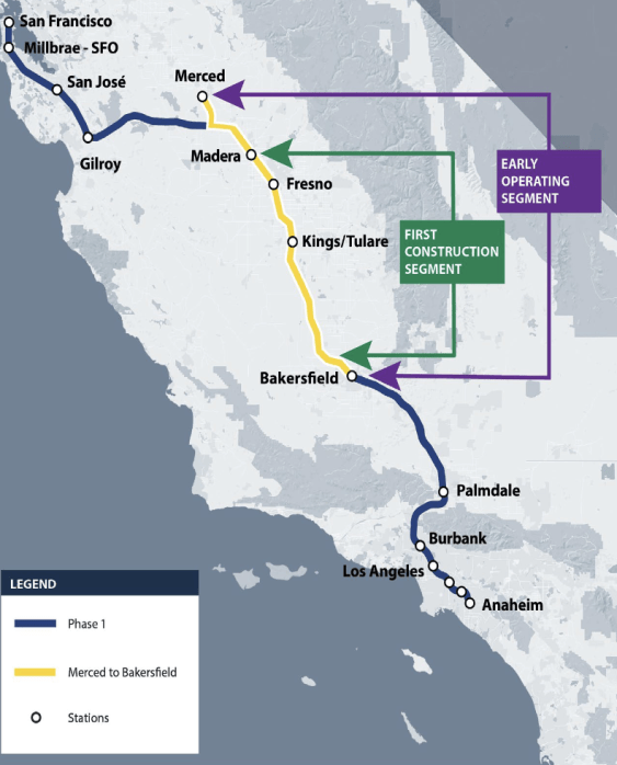
Calif. High-Speed Rail Takes a Step Towards Acquiring Trains
The contract calls for two prototype trainsets for testing to be delivered by 2028, and four trainsets to be used on the "early operating segment" between Merced and Bakersfield, ready between 2030 and 2033.