How the New Google Maps May Change the Way You See the City

What can a Google Maps visual teach us about the cities we live in?
Kyle Shelton at Network blog The Urban Edge has been exploring the latest update of Google Maps, which now highlights clusters of businesses, or "areas of interest," in orange. Shelton says the highlighted zones can reveal unexpected pockets of commercial activity:
The surprising diversity of the areas -- in character, location, price point, and tenants -- opens up even more of the city to exploration. Google didn’t just highlight luxury shopping centers or award-winning restaurants. It highlights more modest options too. Sure, some strip centers designated by Google as areas of interest aren’t particularly interesting -- they’re populated by fast food and chain stores that you can find in dozens of places -- but I didn’t know much about East Aldine’s string of delicious-sounding restaurants until Google told me I should look closer.
Google’s areas of interest include two types of development in almost every city: walkable, dense areas of activity along city streets (for Houston think Rice Village or Midtown) and isolated strip centers, malls and highway exits. Notably, there isn’t a visual cue on the map to distinguish the difference. The same orange blobs represent both types of places. The balance between these two types of areas depends a great deal on the city one is viewing.
For urbanists, there is much to celebrate about the redesign. This view of the world may help promote walkable, dense development. Drawing attention to interconnected activities asks users to see corridors as cohesive districts and to see the benefits of such agglomeration. A remaining hurdle for cities like Houston, though, is that many of these walkable districts remain accessible primarily by car.
Shelton took his analysis further and overlaid the "areas of interest" with Houston's bike network -- many business districts aren't well-connected to bike lanes.
Elsewhere on the Network today: Wash Cycle explains how a federal court decision is causing serious trouble for the Purple Line in Maryland's DC suburbs. And The League of American Bicyclists looks at what Democrats and Republicans say about bikes in their 2016 platforms.
Stay in touch
Sign up for our free newsletter
More from Streetsblog USA
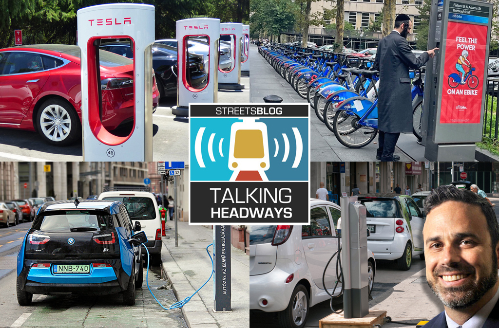
Talking Headways Podcast: Charging Up Transportation
This week, we talk to the great Gabe Klein, executive director of President Biden's Joint Office of Energy and Transportation (and a former Streetsblog board member), about curbside electrification.
Why Does the Vision Zero Movement Stop At the Edge of the Road?
U.S. car crash deaths are nearly 10 percent higher if you count collisions that happen just outside the right of way. So why don't off-road deaths get more air time among advocates?
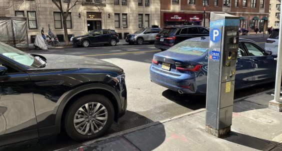
Donald Shoup: Here’s a Parking Policy That Works for the People
Free parking has a veneer of equality, but it is unfair. Here's a proposal from America's leading parking academic that could make it more equitable.
Thursday’s Headlines Turn Up the Heat
Whether you realize it or not, climate change is here, and not just in the form of natural disasters.

Calif. Legislators Tackle AV, School Zone Safety
Are AVs freight trucks ready to be deployed on California roads with no one in them?