Stay in touch
Sign up for our free newsletter
More from Streetsblog USA
Thursday’s Headlines Don’t Like Riding on the Passenger Side
Can you take me to the store, and then the bank? I've got five dollars you can put in the tank.
April 25, 2024

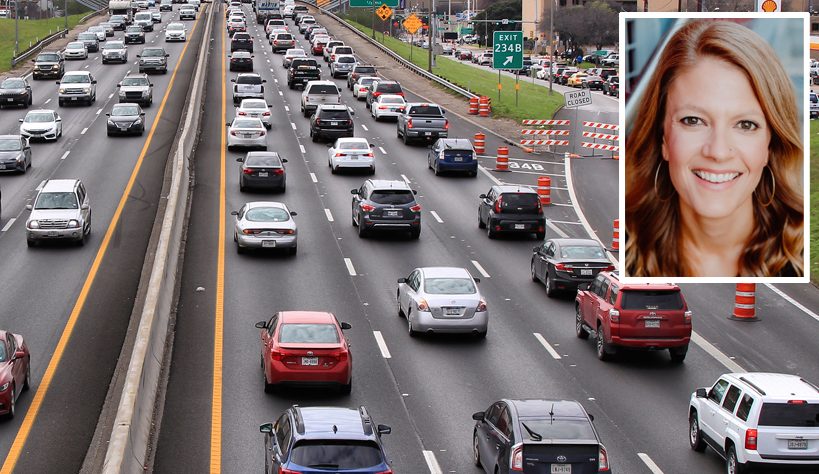
Study: When Speed Limits Rise on Interstates, So Do Crash Hot Spots on Nearby Roads
Rising interstate speeds don't just make roads deadlier for people who drive on them — and local decision makers need to be prepared.
April 25, 2024

‘We Don’t Need These Highways’: Author Megan Kimble on Texas’ Ongoing Freeway Fights
...and what they have to teach other communities across America.
April 24, 2024
Should Wednesday’s Headlines 86 SUVs?
American tax law encourages people to buy the gas-guzzling and deadly vehicles, but some in Canada are pushing to ban them.
April 24, 2024

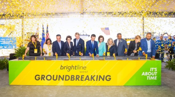
Brightline West Breaks Ground on Vegas to SoCal High-Speed Rail
Brightline West will be a 218-mile 186-mile-per-hour rail line from Vegas to Rancho Cucamonga — about 40 miles east of downtown L.A. — expected to open in 2028.