Can a New Way to Measure Streets Help Advocates Tame Speeding?
You've heard of sensors that can count cars or bikes. Tools like that can help transportation planners make smarter decisions about where bike infrastructure is needed, for example. A new digital tool called Placemeter aims to measure streets at a much more fine-grained level, analyzing a variety of different aspects of movement in an urban environment.
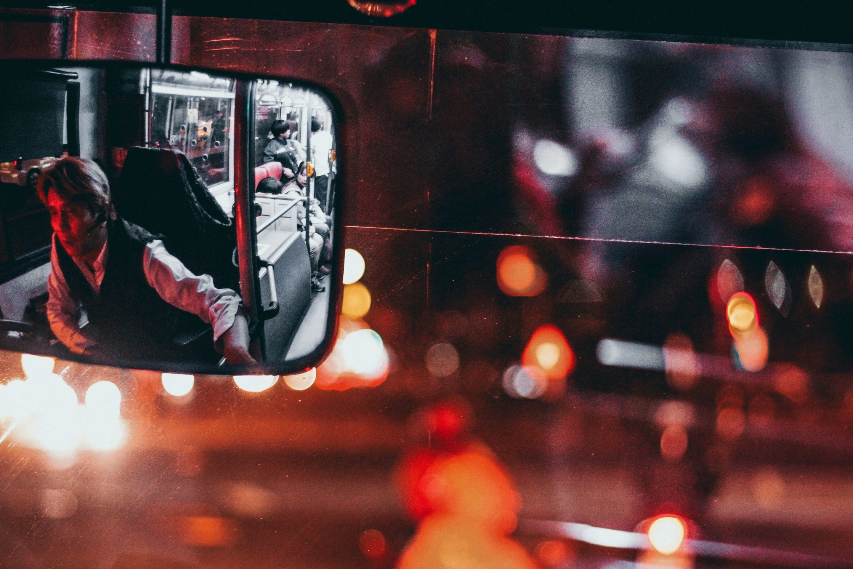
Placemeter's software extracts information from video of streets -- it can measure the movement of vehicles, bicyclists, and pedestrians and then tell you about things like the incidence of speeding or the foot traffic for a specific storefront. Cities are finding lots of interesting ways to use it -- but it's not just for bureaucrats. The people behind Placemeter think it will be very useful for advocates too.
I caught up with Alexandre Winter and Florent Peyre, the founders of Placemeter, to find out how their platform can help us understand what happens on streets.
How do you see Placemeter being useful for improving streets for people using various modes of transportation, including walking?
Florent Peyre: When you want to optimize a city, you need to be able to quantify and measure it first. We’re making it a lot easier and a lot cheaper to measure continuously at a fraction of the cost of hiring a data collection company.
We work with the city of Boston, where they’re interested in building more parklets, but they get pushback from people who think there should be more parking space. What we bring to the table is the ability to quantify the effect of such a change by measuring baseline and then how many people use that parking spot now that it is a temporary pedestrian zone. Bringing a layer of data removes a lot of the passion from a lot of those discussions.
I want to use this technology to get to the point where we have zero casualties. Where we actually reduce the speed of cars.
Alexandre Winter: We wanted to make that information accessible to anyone who needs it: a municipal government or a bike activist association that wants to measure the usage of a bike lane and demonstrate that it needs to be wider. We're working with a company called AKRF, measuring the impact of a new building on foot traffic in a neighborhood. There are very old studies that defined the impact on foot traffic based on the number of stories in a building, but they’re from the seventies when everyone was driving to their office. So they’re not really relevant anymore.
There are other counters out there. But your technology isn’t the sensor or the counter but the software to analyze the data. Is that right?
Alex: We’re actually pretty agnostic on the sensor as long as it’s a video sensor. We sometimes use an existing security camera that nobody uses. Sometimes when we work with a transportation department they give us access to their traffic cameras. Or sometimes people just buy cheap, off-the-shelf IP cameras. And we announced Tuesday we’re making our embedded sensor available for preorders -- it’s basically a little video sensor with a computer right behind it that’s going to run all the analytics right behind the camera.
But there are other devices that do the counting, like the counters on bike paths that say, "you’re the fifth person or the thousandth person to use this bike path today."
Alex: Yes, but these sensors are mostly to count bicycles on one specific bike path. Our approach is more of a platform. We can extract a lot more from the video than just counts, like interactions between pedestrians and bicycles in cities where they share sidewalks, for example. We can help transportation departments understand interactions between vehicles and pedestrians, which can lead to accidents. We can help retailers understand if people slow down in front of their stores or if they stop to look at their store. You can extract a lot more data from video than just the count that you can get from rubber bands or infrared counters.
So you can figure out if the presence of a bike lane or street tree or parklet slows down traffic as it passes.
Alex: Yes, exactly. We measure the speed of every object that we detect, so we can measure the impact on speed of the different objects.
You say you anonymize the data and it doesn’t get stored, but I’m wondering if that’s all that’s needed to protect privacy. You’re essentially videotaping, or at least watching, the street 24 hours a day. It’s a public space, but it seems like there are still privacy concerns.
Alex: We have built a whole system around that. First of all, nobody watches the videos. The algorithms process them to extract counts and insights but then they’re deleted. We’re not building a video archive. And we commit to data without identification. We don’t do biometrics or gait recognition or face recognition.
Nicole Wong has been helping us a lot. She put in place the privacy measures for Google Street View.
Florent: Nicole spent nine years at Google specifically in charge of privacy, and then she was at Twitter, and then she worked for President Obama as Deputy U.S. Chief Technology Officer.
Tell me a little bit about where the idea came from. It started with a trip to Shake Shack?
Alex: When I moved to New York, one of the first things my kids wanted to do was go to Shake Shack, and like everybody I waited a whole hour in line and another 25 minutes to get my burger. It was ridiculous. That’s when I realized they had a camera looking at the line -- it’s called a ShakeCam, and it’s publicly available.
I also realized that the line is always long, so the camera doesn’t really help. I started playing with that, and I started analyzing the video feed and modeling how the line moves. And it turns out the line doesn’t move at the same speed all the time. It depends on many registers are open and how efficient they are. So I could eventually come up with some interesting predictions on how fast the line would go during the day and pick the right time to go.
Building a business around the Shake Shack line didn’t make a lot of sense, but it was the thing that opened my eyes. That, plus moving to New York, which is a great city but dysfunctional in many ways. And it opened my eyes to the fact that there’s a big information imbalance: Some people had data about traffic, about how busy places are and how the city is used, but it’s really in the hands of a very happy few, and it should be in hands of a lot more people who can use it to improve their environment.
I live in Park Slope in Brooklyn, and New York in general is a city where there are a lot of casualties of pedestrians being run over by cars, especially in my neighborhood, close to Prospect Park. My son is in middle school, and literally every year one of his friends is involved in a really bad accident. One of the things I eventually want to do is use this technology to help the local government, the mayor, get to the point where we have zero casualties. Where we actually reduce the speed of cars, which is sometimes just ridiculous for a city.
How does Placemeter reduce the speed of cars?
Florent: One pet project we want to get to, hopefully in the next few months, is to work with neighborhood associations or Transportation Alternatives and equip a neighborhood in Brooklyn with a sensor in the main streets, and then automatically detect the speed of cars 24/7 and make that data available for everyone on a website, so that you can start making smart decisions about where to put a speed bump, what streets are most dangerous at what times of the day, and so on.
We both have kids. My daughter just started walking; my son is four and a half. Alex's kids are aged 13 to 1. Because of that, we're keenly aware of danger when you walk in the streets in New York. And I would totally use a service where I could go back to my community board with actual data, a 24/7 measurement of the speed of cars in a residential neighborhood. The reality is that today, in a city like New York, it's impossible for the DOT to measure that everywhere; it's impossible for NYPD to enforce all that (and sometimes they’re not interested in doing it).
And so we're excited about building a platform where a local neighborhood can take that into their own hands, to gather and crowdsource that data so there's actually smarter decision-making around that.
By the way, our code name for that is Speedbuster.
Stay in touch
Sign up for our free newsletter
More from Streetsblog USA
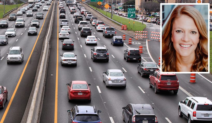
‘We Don’t Need These Highways’: Author Megan Kimble on Texas’ Ongoing Freeway Fights
...and what they have to teach other communities across America.
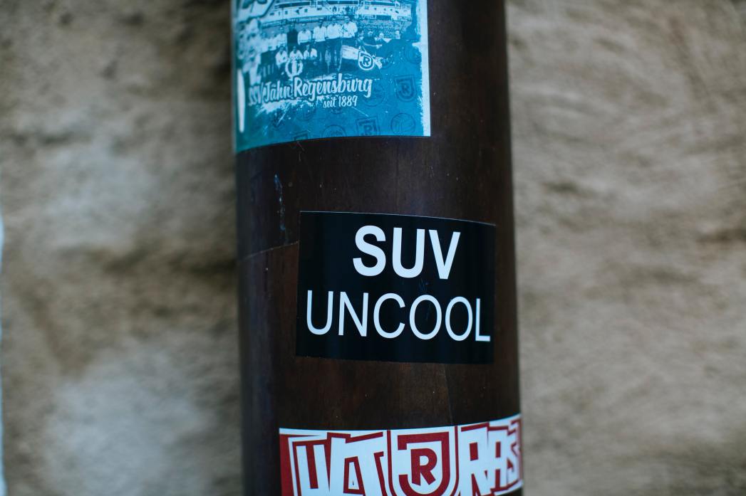
Should Wednesday’s Headlines 86 SUVs?
American tax law encourages people to buy the gas-guzzling and deadly vehicles, but some in Canada are pushing to ban them.
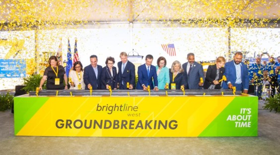
Brightline West Breaks Ground on Vegas to SoCal High-Speed Rail
Brightline West will be a 218-mile 186-mile-per-hour rail line from Vegas to Rancho Cucamonga — about 40 miles east of downtown L.A. — expected to open in 2028.
Tuesday’s Headlines Fix It First
How voters incentivize politicians to ignore infrastructure upkeep. Plus, are hydrogen trains the future of rail or a shiny distraction?
Why We Can’t End Violence on Transit With More Police
Are more cops the answer to violence against transit workers, or is it only driving societal tensions that make attacks more frequent?