Do Your City’s Streets Make Room for People Too? A Handy Visual Test

A big problem with designing cities around cars is that motor vehicles are big and bulky and take up a ton of space. And the more space you give to cars, the greater the pressure to cede even more territory -- to park vehicles and transport all the additional people who no longer find it appealing to walk, bike, or take transit in a more spread-out city.
1000 Friends of Wisconsin set out to show how much of the public right of way in Madison remains dedicated to people, not cars. So they crunched the numbers and developed this great map. Here's what they say about it:
Parking garages and lots aside, many streets have been engineered to allow for faster vehicle travel at the expense of people riding bicycles and walking. The result is a less safe and less pleasant environment for non-car transportation, increased pollution, increased wear and tear on roadways, and increased congestion on those bigger and faster roadways. Conversely, streets with narrower (and sometimes fewer) travel lanes, added bike lanes, properly priced parking, and strong pedestrian infrastructure have positive effects on sustainability and community vibrancy.
One way of measuring the walkability in a community is by comparing the amount of paved roadway to the amount of space for buffer strips and sidewalks. In Madison, Wisconsin, we used a database of street information and aerial imagery to depict the ratio of pedestrian space to total right-of-way on all the city’s streets.
Obviously, the space allocated to pedestrians is only one of many metrics by which we can evaluate an area’s livability and sustainability. However, using increasingly high-quality data to analyze land use patterns and infrastructure priorities can help us identify areas where targeted improvements to the pedestrian experience can make the biggest difference for communities.
Elsewhere on the Network today: Streets.mn feels optimistic about the future of Minneapolis following this week's mayoral and city council elections. The Bike League says federal agencies are starting to show some leadership in bike-friendliness. And Transitized uses visual representations to show the proportional cost of some transportation projects in the Chicago regions. Guess which ones eat up most of the money.
Stay in touch
Sign up for our free newsletter
More from Streetsblog USA
Thursday’s Headlines Don’t Like Riding on the Passenger Side
Can you take me to the store, and then the bank? I've got five dollars you can put in the tank.

Study: When Speed Limits Rise on Interstates, So Do Crash Hot Spots on Nearby Roads
Rising interstate speeds don't just make roads deadlier for people who drive on them — and local decision makers need to be prepared.

Calif. Bill to Require Speed Control in Vehicles Goes Limp
Also passed yesterday were S.B 961, the Complete Streets bill, a bill on Bay Area transit funding, and a prohibition on state funding for Class III bikeways.
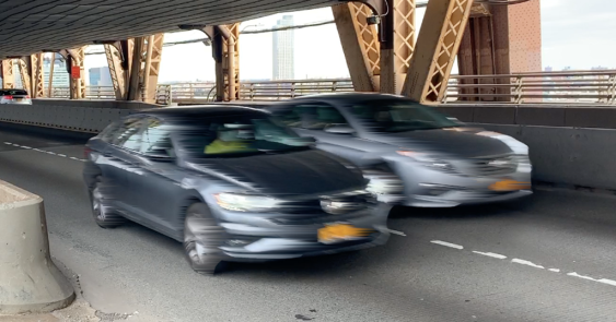
Under Threat of Federal Suit (Again!), NYC Promises Action on ‘Unacceptable’ Illegal Police Parking
A deputy mayor made a flat-out promise to eliminate illegal police parking that violates the Americans With Disabilities Act. But when? How? We don't know.
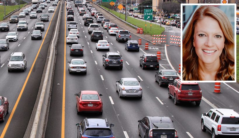
‘We Don’t Need These Highways’: Author Megan Kimble on Texas’ Ongoing Freeway Fights
...and what they have to teach other communities across America.