Repairing the Neighborhood Scars Created By a Freeway
There is no more potent neighborhood destroyer than a massive highway. But for many urban places around the country, their horizons were fixed by a freeway long ago.
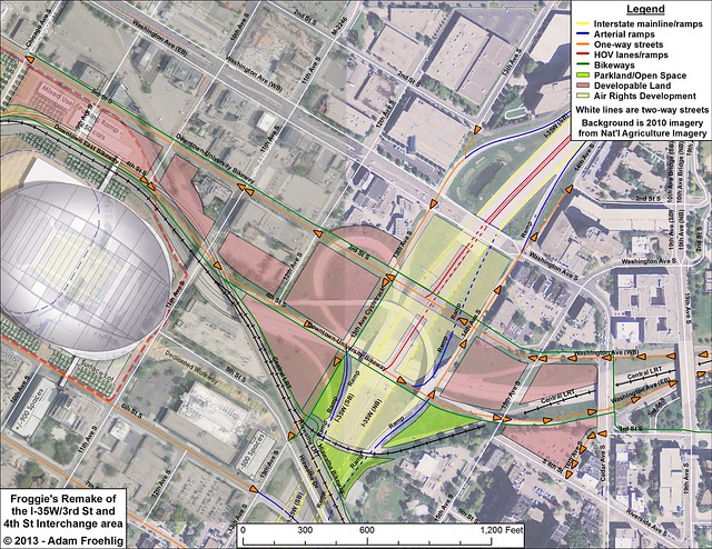
Built in the early 1970s on the east side of downtown Minneapolis, I-35W creates a gap between Downtown East and the Cedar-Riverside neighborhood. The 3rd St/4th St trench, built at the same time as I-35W to facilitate traffic from I-35W and downtown to the University of Minnesota campus, further complicates local connectivity, resulting in Washington Ave being the only local connection between Cedar-Riverside and downtown.
That doesn't mean cities have to live with past mistakes. Froehlig has mapped out a way for Minneapolis to fill in parts of the freeway trench, deck over the highway, replace complicated access ramps with less invasive options, and restore the street grid:
The amount of redevelopment potential this proposal provides is considerable, especially when a lid over I-35W is included. In the Downtown East/Cedar-Riverside area, the average city block is about 2.6 acres. This proposal opens about 15 acres of land for development, some of it existing parking lot, but much of it currently occupied by freeway ramps and MnDOT right-of-way. The lid over I-35W adds about 8 acres of potential air-rights development, minus 1.5 acres if a direct ramp to 3rd St needs to be built. About 2 acres of dedicated open space is added, including expansion of Currie Park over the I-35W lid. That’s a total of 25 acres (almost 10 city blocks) of unutilized or underutilized land opened up.
I-35W has undoubtedly provided numerous transportation and economic benefits to the city and region, but these benefits can’t hide the negative effects the freeway has had on adjacent neighborhoods. Restoring the street grid and decking over the freeway are steps that can be taken to address these negative effects, while restoring neighborhood connections and adding to economic activity. Local, regional, and state leaders would be wise to consider this and take steps to implement it where feasible.
Elsewhere on the Network today: Seattle Bike Blog admires the center-median bike lane where President Barack Obama made his inaugural stroll in Washington, D.C., yesterday. Copenhagenize looks back at some of the world's best demonstrations for safer cycling conditions. And Boston Streets wonders why so many movies set in famously walkable Beantown lend such prominence to the act of driving.
Stay in touch
Sign up for our free newsletter
More from Streetsblog USA
Friday’s Headlines Got Served
Another day, another GOP lawsuit trying to overturn a Biden administration climate change rule.
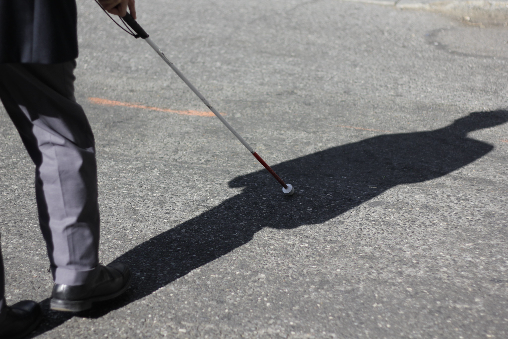
Disabled People Are Dying in America’s Crosswalks — But We’re Not Counting Them
The data on traffic fatalities and injuries doesn’t account for their needs or even count them. Better data would enable better solutions.
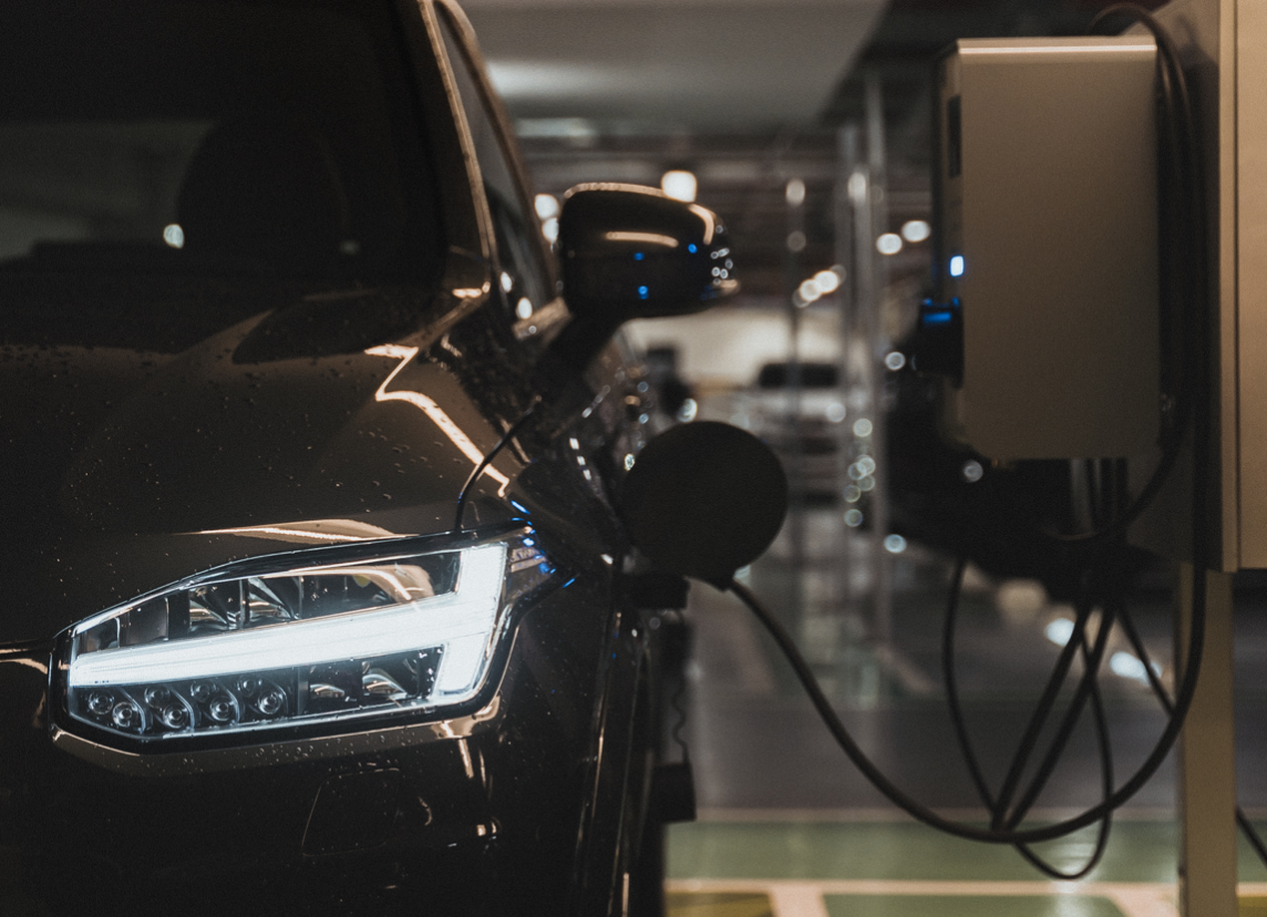
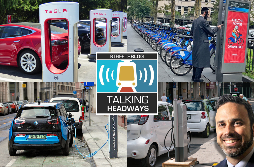
Talking Headways Podcast: Charging Up Transportation
This week, we talk to the great Gabe Klein, executive director of President Biden's Joint Office of Energy and Transportation (and a former Streetsblog board member), about curbside electrification.
Why Does the Vision Zero Movement Stop At the Edge of the Road?
U.S. car crash deaths are nearly 10 percent higher if you count collisions that happen just outside the right of way. So why don't off-road deaths get more air time among advocates?
Donald Shoup: Here’s a Parking Policy That Works for the People
Free parking has a veneer of equality, but it is unfair. Here's a proposal from America's leading parking academic that could make it more equitable.