How Many Trips Are ‘Captured’ By More Diverse Urban Land Use?
Current methods of predicting the traffic-calming effects of mixed-use development are "woefully lacking" and risk underestimating the transportation benefits of more compact, diverse land use, according to a new report from the Transportation Research Board (TRB).
 An example of mixed-use development in San Francisco. (Photo: Arch. Record)
The TRB report is the first to examine mixed-use development on a nationwide level, looking initially at six metro areas and poised to add data from seven more in the coming months.
It focuses on "internal capture," the traffic analyst's term to describe how many auto trips are effectively removed -- that is, "captured" -- from the street network.
"Except for a handful of master-planned projects in Florida, actual numbers on internal capture rates [for mixed-use development] are few and far between," the TRB researchers wrote. "Traffic engineers are thus largely left to their own devices to quantify the trip reductions that might accrue from this often varied and complex development type. Oftentimes, no adjustment is made."
So how many trips are actually removed from congested streets by more diverse land use? Three out of every 10 on average, the TRB researchers found.
Every captured trip serves to decrease the strain on existing roads and reduce the carbon footprint of the community as a whole. Increasing the effectiveness of mixed-use projects isn't as simple as offering a broad mix of housing, however. A number of variables help to determine how much automobile dependence can be mitigated, according to the TRB:
- The site's total population and employment
- The site's density
- The size of households living on the site, and their car ownership rates
- The availability of walkable employment
- The site's pedestrian accessibility, e.g. sidewalk use
- The accessibility of transit, as well as employment within a 30-minute transit ride
The new report serves as a complement of sorts to the TRB's broader study of land use's effect on greenhouse gas emissions, which Ryan covered last week. But it also speaks to the power of data collection to improve policy-making on the national as well as local level -- as TRB's researchers noted, the lack of sufficient information had impeded planners' understanding of mixed-use development.
Seen in that light, the Obama administration's proposal to add $310 million for regional data collection to the upcoming federal transportation bill begins to appear less like a small-bore reform. Still, even that provision could be jettisoned as lawmakers negotiate an extension of existing transport law.
(h/t Reconnecting America)
Stay in touch
Sign up for our free newsletter
More from Streetsblog USA
Thursday’s Headlines Don’t Like Riding on the Passenger Side
Can you take me to the store, and then the bank? I've got five dollars you can put in the tank.

Study: When Speed Limits Rise on Interstates, So Do Crash Hot Spots on Nearby Roads
Rising interstate speeds don't just make roads deadlier for people who drive on them — and local decision makers need to be prepared.

‘We Don’t Need These Highways’: Author Megan Kimble on Texas’ Ongoing Freeway Fights
...and what they have to teach other communities across America.
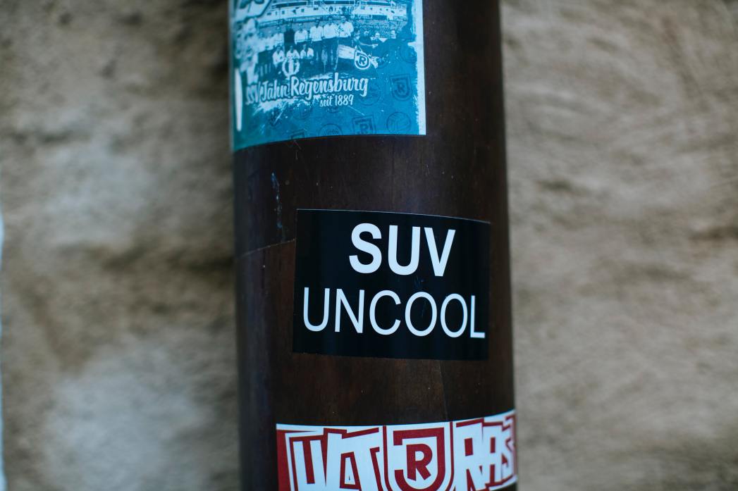
Should Wednesday’s Headlines 86 SUVs?
American tax law encourages people to buy the gas-guzzling and deadly vehicles, but some in Canada are pushing to ban them.
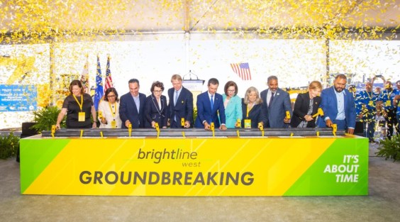
Brightline West Breaks Ground on Vegas to SoCal High-Speed Rail
Brightline West will be a 218-mile 186-mile-per-hour rail line from Vegas to Rancho Cucamonga — about 40 miles east of downtown L.A. — expected to open in 2028.